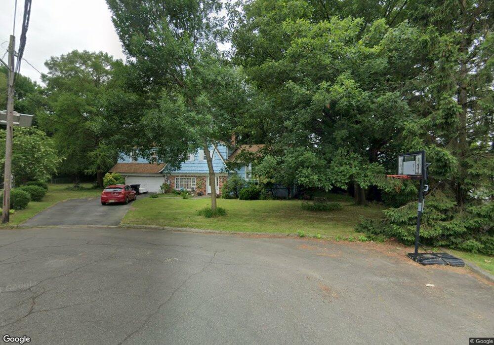
153 Middlesex Ave Paramus, NJ 07652
Estimated Value: $1,013,418 - $1,265,000
Studio
--
Bath
2,644
Sq Ft
$423/Sq Ft
Est. Value
About This Home
This home is located at 153 Middlesex Ave, Paramus, NJ 07652 and is currently estimated at $1,118,855, approximately $423 per square foot. 153 Middlesex Ave is a home located in Bergen County with nearby schools including Paramus High School, Yavneh Academy, and Yeshivat Noam School.
Ownership History
Date
Name
Owned For
Owner Type
Purchase Details
Closed on
Mar 2, 2006
Sold by
Albert H Freed Llc
Bought by
201 Rt 17 Llc
Current Estimated Value
Purchase Details
Closed on
Aug 30, 1999
Sold by
Netelkos Eileen
Bought by
Ramos Hector and Ramos Diane
Home Financials for this Owner
Home Financials are based on the most recent Mortgage that was taken out on this home.
Original Mortgage
$225,000
Interest Rate
7.65%
Mortgage Type
Purchase Money Mortgage
Create a Home Valuation Report for This Property
The Home Valuation Report is an in-depth analysis detailing your home's value as well as a comparison with similar homes in the area
Home Values in the Area
Average Home Value in this Area
Purchase History
| Date | Buyer | Sale Price | Title Company |
|---|---|---|---|
| 201 Rt 17 Llc | $2,200,000 | -- | |
| Ramos Hector | $330,000 | Chicago Title Insurance Co |
Source: Public Records
Mortgage History
| Date | Status | Borrower | Loan Amount |
|---|---|---|---|
| Previous Owner | Ramos Hector | $225,000 |
Source: Public Records
Tax History
| Year | Tax Paid | Tax Assessment Tax Assessment Total Assessment is a certain percentage of the fair market value that is determined by local assessors to be the total taxable value of land and additions on the property. | Land | Improvement |
|---|---|---|---|---|
| 2025 | $11,572 | $805,200 | $417,800 | $387,400 |
| 2024 | $11,252 | $764,300 | $381,200 | $383,100 |
| 2023 | $10,945 | $733,500 | $363,300 | $370,200 |
| 2022 | $10,945 | $705,200 | $339,400 | $365,800 |
| 2021 | $10,666 | $644,900 | $307,600 | $337,300 |
| 2020 | $10,149 | $636,300 | $302,900 | $333,400 |
| 2019 | $9,219 | $496,700 | $338,800 | $157,900 |
| 2018 | $9,105 | $496,700 | $338,800 | $157,900 |
| 2017 | $8,946 | $496,700 | $338,800 | $157,900 |
| 2016 | $8,702 | $496,700 | $338,800 | $157,900 |
| 2015 | $8,613 | $496,700 | $338,800 | $157,900 |
| 2014 | $8,538 | $496,700 | $338,800 | $157,900 |
Source: Public Records
Map
Nearby Homes
- 210 Hillcrest Dr
- 64 E Century Rd
- 219 N Farview Ave
- 160 Lawrence Dr
- 44 Forsythia Ln
- 298 Buttonwood Dr
- 156 Stuart St
- 177 Haase Ave
- 311 N Farview Ave
- 179 Clayton Terrace
- 192 Thomas Dr
- 105 Circle Dr
- 189 Forest Ave Unit 117
- 189 Forest Ave Unit 317
- 189 Forest Ave Unit 216
- 333 Harrison St
- 46 Knollwood Dr
- 127 Village Cir E
- 122 Village Cir E
- 234 Vivien Ct
- 157 Middlesex Ave
- 28 Longview Ct
- 154 Middlesex Ave
- 32 Longview Ct
- 155 Broadview Terrace
- 158 Middlesex Ave
- 157 Broadview Terrace
- 36 Longview Ct
- 151 Broadview Terrace
- 162 Middlesex Ave
- 147 Broadview Terrace
- 167 Middlesex Ave
- 15 Broad Ave
- 29 Longview Ct
- 166 Middlesex Ave
- 17 Broad Ave
- 33 Longview Ct
- 143 Broadview Terrace
- 35 Longview Ct
- 40 Longview Ct
Your Personal Tour Guide
Ask me questions while you tour the home.