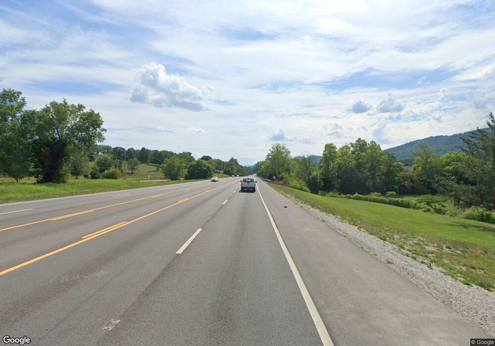
1531 E Central Ave La Follette, TN 37766
Estimated Value: $325,000
--
Bed
1
Bath
1,265
Sq Ft
$257/Sq Ft
Est. Value
About This Home
This home is located at 1531 E Central Ave, La Follette, TN 37766 and is currently estimated at $325,000, approximately $256 per square foot. 1531 E Central Ave is a home located in Campbell County with nearby schools including Calvary Christian Academy.
Ownership History
Date
Name
Owned For
Owner Type
Purchase Details
Closed on
Dec 12, 2019
Sold by
Brooks Valerie Wilson and Wilson Valerie
Bought by
Properties D Inc
Current Estimated Value
Home Financials for this Owner
Home Financials are based on the most recent Mortgage that was taken out on this home.
Original Mortgage
$550,000
Interest Rate
3.7%
Mortgage Type
Future Advance Clause Open End Mortgage
Purchase Details
Closed on
Feb 7, 2017
Bought by
Wilson Valerie
Purchase Details
Closed on
Dec 14, 1956
Bought by
Baird Robert and Baird Carrie
Create a Home Valuation Report for This Property
The Home Valuation Report is an in-depth analysis detailing your home's value as well as a comparison with similar homes in the area
Home Values in the Area
Average Home Value in this Area
Purchase History
| Date | Buyer | Sale Price | Title Company |
|---|---|---|---|
| Properties D Inc | $400,000 | Tennessee Valley Ttl Ins Co | |
| Wilson Valerie | -- | -- | |
| Baird Robert | -- | -- |
Source: Public Records
Mortgage History
| Date | Status | Borrower | Loan Amount |
|---|---|---|---|
| Closed | Properties D Inc | $550,000 |
Source: Public Records
Tax History Compared to Growth
Tax History
| Year | Tax Paid | Tax Assessment Tax Assessment Total Assessment is a certain percentage of the fair market value that is determined by local assessors to be the total taxable value of land and additions on the property. | Land | Improvement |
|---|---|---|---|---|
| 2025 | $478 | $39,300 | $0 | $0 |
| 2024 | $478 | $39,300 | $39,300 | $0 |
| 2023 | $488 | $23,600 | $23,600 | $0 |
| 2022 | $488 | $23,600 | $23,600 | $0 |
| 2021 | $488 | $23,600 | $23,600 | $0 |
| 2020 | $3,699 | $42,425 | $23,600 | $18,825 |
| 2019 | $593 | $28,725 | $8,900 | $19,825 |
| 2018 | $663 | $29,450 | $8,975 | $20,475 |
| 2017 | $663 | $29,450 | $8,975 | $20,475 |
| 2016 | $663 | $29,450 | $8,975 | $20,475 |
| 2015 | $586 | $29,450 | $8,975 | $20,475 |
| 2014 | -- | $29,450 | $8,975 | $20,475 |
| 2013 | -- | $29,450 | $8,975 | $20,475 |
Source: Public Records
Map
Nearby Homes
- 1109 W Central Ave
- 109 N 23rd St
- 115 Paul Ln
- 926 W Walden St
- 504 Short St
- 307 N 21st St
- 508 Short St
- 1826 Loop Rd
- 165 Lake Shore Ln
- 806 W Forrest St
- 147 Meredith Rd
- 0 Highland Dr Unit 1291296
- 721 Cherry St
- 122 Regan Ln
- 245 Lake Shore Ln
- 810 S 17th St
- lot 12 Hickory Hill
- 182 Hickory Hill
- 914 S 13th St
- 134 Andy Baird Dr
- 1561 E Central Ave
- 1322 Old Jacksboro Hwy
- 1341 Jacksboro Pike
- 1414 Old Jacksboro Hwy Unit 1420
- 1414 Old Jacksboro Hwy
- 1414 Old Jacksboro Hwy Unit 1400
- 1318 Old Jacksboro Hwy
- lots 2-5 27th Street & W Central Ave
- 1403 Old Jacksboro Hwy
- 1408 Old Jacksboro Hwy Unit 1410
- 1408 Old Jacksboro Hwy
- 1338 Old Jacksboro Hwy
- 1320 Jacksboro Pike
- 103 S 7th St Unit TWENTY
- 1380 W Central Ave
- 111 S 7th St Unit TWENTY
- 1420 Old Jacksboro Hwy
- 111 S 27th St
- 1217 W Central Ave
- 1216 W Ash St
