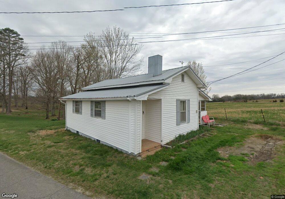
1531 Flag Branch Rd Greeneville, TN 37743
Estimated Value: $119,399 - $226,000
--
Bed
1
Bath
946
Sq Ft
$175/Sq Ft
Est. Value
About This Home
This home is located at 1531 Flag Branch Rd, Greeneville, TN 37743 and is currently estimated at $165,100, approximately $174 per square foot. 1531 Flag Branch Rd is a home located in Greene County with nearby schools including Camp Creek Elementary School, South Greene Middle School, and South Greene High School.
Ownership History
Date
Name
Owned For
Owner Type
Purchase Details
Closed on
Mar 4, 2021
Sold by
Wilhoit Jerry Michael and Wilhoit Kevin Everette
Bought by
Smith Patsy R and Good Angela
Current Estimated Value
Home Financials for this Owner
Home Financials are based on the most recent Mortgage that was taken out on this home.
Original Mortgage
$58,500
Outstanding Balance
$43,361
Interest Rate
2.7%
Mortgage Type
Purchase Money Mortgage
Estimated Equity
$121,739
Purchase Details
Closed on
Sep 17, 2019
Sold by
Wilhoit Curtis E
Bought by
Wilhoit Jerry Michael and Wilhoit Kevin Everette
Create a Home Valuation Report for This Property
The Home Valuation Report is an in-depth analysis detailing your home's value as well as a comparison with similar homes in the area
Home Values in the Area
Average Home Value in this Area
Purchase History
| Date | Buyer | Sale Price | Title Company |
|---|---|---|---|
| Smith Patsy R | $65,000 | None Available | |
| Wilhoit Jerry Michael | -- | None Available |
Source: Public Records
Mortgage History
| Date | Status | Borrower | Loan Amount |
|---|---|---|---|
| Open | Smith Patsy R | $58,500 |
Source: Public Records
Tax History Compared to Growth
Tax History
| Year | Tax Paid | Tax Assessment Tax Assessment Total Assessment is a certain percentage of the fair market value that is determined by local assessors to be the total taxable value of land and additions on the property. | Land | Improvement |
|---|---|---|---|---|
| 2024 | $358 | $21,725 | $4,800 | $16,925 |
| 2023 | $412 | $21,725 | $0 | $0 |
| 2022 | $24,100 | $11,950 | $3,600 | $8,350 |
| 2021 | $241 | $11,950 | $3,600 | $8,350 |
| 2020 | $241 | $11,950 | $3,600 | $8,350 |
| 2019 | $241 | $11,950 | $3,600 | $8,350 |
| 2018 | $241 | $11,950 | $3,600 | $8,350 |
| 2017 | $232 | $11,775 | $3,600 | $8,175 |
| 2016 | $221 | $11,775 | $3,600 | $8,175 |
| 2015 | $221 | $11,775 | $3,600 | $8,175 |
| 2014 | $221 | $11,775 | $3,600 | $8,175 |
Source: Public Records
Map
Nearby Homes
- 10065 107 Cutoff
- 8855 107 Cutoff
- 8845 107 Cutoff
- 10375 107 Cutoff
- 00 Links View Dr
- 10630 107 Cutoff
- 215 White Sands Rd
- 90 Birds Bridge Rd
- 0 River View Dr
- Lot 92 River View Dr
- 84 River View Dr
- 7398 Asheville Hwy
- 91 Mountain Pointe Ct
- 90 Mountain Pointe Ct
- 89 Mountain Pointe Ct
- Lot 22 R Golf Villa Dr
- Lot 20R Golf Villa Dr
- Lot 21 R Golf Villa Dr
- Lot 15 Golf Villa Dr
- 79 Links View Dr
- 1435 Flag Branch Rd
- 1460 Flag Branch Rd
- 1392 Flag Branch Rd
- 1370 Flag Branch Rd
- 1345 Flag Branch Rd
- 1730 Flag Branch Rd
- 144 Brooks Dr
- 1300 Flag Branch Rd
- 8280 Old Asheville Hwy
- 8280 Old Asheville Hwy
- 740 Brooks Dr
- 72 Brooks Dr
- 208 Brooks Dr
- 1280 Flag Branch Rd
- 70 Brooks Dr
- 8560 Old Asheville Hwy
- 8255 Old Asheville Hwy
- 8455 Old Asheville Hwy
- 8205 Old Asheville Hwy
- 1225 Flag Branch Rd