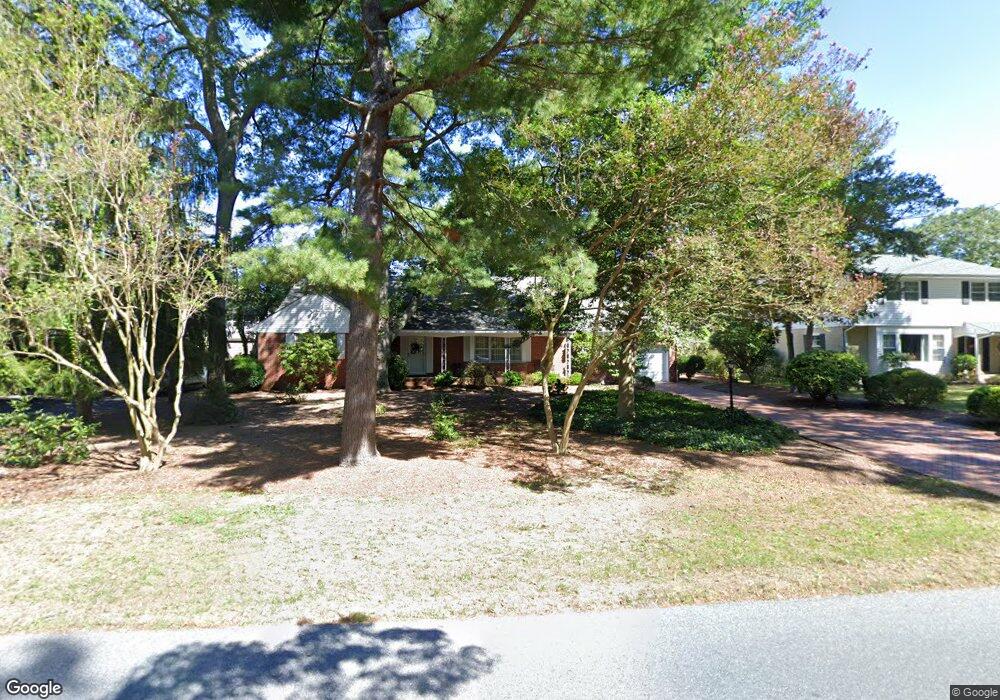
1534 Woodland Rd Salisbury, MD 21801
South Salisbury NeighborhoodEstimated Value: $334,973 - $451,000
--
Bed
3
Baths
2,579
Sq Ft
$152/Sq Ft
Est. Value
About This Home
This home is located at 1534 Woodland Rd, Salisbury, MD 21801 and is currently estimated at $390,993, approximately $151 per square foot. 1534 Woodland Rd is a home located in Wicomico County with nearby schools including Pinehurst Elementary School, Bennett Middle School, and James M. Bennett High School.
Ownership History
Date
Name
Owned For
Owner Type
Purchase Details
Closed on
Oct 16, 2016
Sold by
Beckman Marie Miles
Bought by
Beckman Marie Miles
Current Estimated Value
Purchase Details
Closed on
Aug 1, 2015
Sold by
Miles Christine E
Bought by
Beckman Marie Miles
Purchase Details
Closed on
Sep 20, 2011
Sold by
Beckman Marie Miles
Bought by
Beckman Marie Miles and Miles Christine E
Purchase Details
Closed on
Mar 1, 2007
Sold by
Miles William B and Miles Maxine D
Bought by
Miles William B and Trustee
Purchase Details
Closed on
Feb 6, 2007
Sold by
Miles William B and Miles Maxine D
Bought by
Miles William B and Trustee
Create a Home Valuation Report for This Property
The Home Valuation Report is an in-depth analysis detailing your home's value as well as a comparison with similar homes in the area
Home Values in the Area
Average Home Value in this Area
Purchase History
| Date | Buyer | Sale Price | Title Company |
|---|---|---|---|
| Beckman Marie Miles | -- | None Available | |
| Beckman Marie Miles | $90,000 | Attorney | |
| Beckman Marie Miles | -- | None Available | |
| Miles William B | -- | -- | |
| Miles William B | -- | -- |
Source: Public Records
Tax History Compared to Growth
Tax History
| Year | Tax Paid | Tax Assessment Tax Assessment Total Assessment is a certain percentage of the fair market value that is determined by local assessors to be the total taxable value of land and additions on the property. | Land | Improvement |
|---|---|---|---|---|
| 2025 | $2,624 | $288,667 | $0 | $0 |
| 2024 | $2,624 | $273,700 | $68,200 | $205,500 |
| 2023 | $2,516 | $254,467 | $0 | $0 |
| 2022 | $2,397 | $235,233 | $0 | $0 |
| 2021 | $2,208 | $216,000 | $68,200 | $147,800 |
| 2020 | $2,221 | $215,400 | $0 | $0 |
| 2019 | $2,248 | $214,800 | $0 | $0 |
| 2018 | $2,253 | $214,200 | $68,200 | $146,000 |
| 2017 | $2,253 | $214,200 | $0 | $0 |
| 2016 | -- | $214,200 | $0 | $0 |
| 2015 | $2,334 | $228,300 | $0 | $0 |
| 2014 | $2,334 | $228,300 | $0 | $0 |
Source: Public Records
Map
Nearby Homes
- 618 Pine Bluff Rd
- 1137 Riverside Dr
- 712 Riverside Pines Ct
- 116 Holly Hill Ct
- 5464 Cherry Hill Ln
- 1124 Riverside Dr
- 1708 Lower Millstone Ln
- 124 Holly Hill Ct
- 126 Holly Hill Ct
- 102 Holly Hill Ct
- 1737 Riverside Dr
- 1302 Taney Ave
- 1105 Riverside Dr
- 1702 Old Mill Ln
- 1305 Taney Ave
- 520 Clyde Ave
- 1213 Taney Ave
- 1103 Woodland Rd
- 1220 Orchard Cir
- Lot D3 International Dr
- 612 Irene Ave
- 1532 Woodland Rd
- 1536 Woodland Rd
- 614 Irene Ave
- 610 Irene Ave
- 1530 Woodland Rd
- 1509 Riverside Dr
- 608 Irene Ave
- 613 Irene Ave
- 615 Irene Ave
- 611 Irene Ave
- 1537 Woodland Rd
- 1528 Woodland Rd
- 609 Irene Ave
- 1531 Woodland Rd
- 1529 Woodland Rd
- 630 Pine Bluff Rd
- 628 Pine Bluff Rd
- 632 Pine Bluff Rd
- 626 Pine Bluff Rd