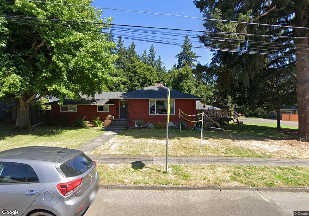
1535 Buck St West Linn, OR 97068
Bolton NeighborhoodEstimated Value: $576,000 - $853,000
3
Beds
2
Baths
2,106
Sq Ft
$316/Sq Ft
Est. Value
About This Home
This home is located at 1535 Buck St, West Linn, OR 97068 and is currently estimated at $666,425, approximately $316 per square foot. 1535 Buck St is a home located in Clackamas County with nearby schools including Bolton Primary School, West Linn High School, and Clackamas Academy of Industrial Sciences (CAIS).
Ownership History
Date
Name
Owned For
Owner Type
Purchase Details
Closed on
May 17, 2024
Sold by
Meyers Patricia Rae
Bought by
Lyons Stephanie Rae
Current Estimated Value
Purchase Details
Closed on
Dec 30, 2021
Sold by
Meyers Patricia R
Bought by
Meyers Patricia Rae
Home Financials for this Owner
Home Financials are based on the most recent Mortgage that was taken out on this home.
Original Mortgage
$217,500
Interest Rate
3.12%
Mortgage Type
New Conventional
Purchase Details
Closed on
Sep 1, 1994
Bought by
Meyers Patricia R
Create a Home Valuation Report for This Property
The Home Valuation Report is an in-depth analysis detailing your home's value as well as a comparison with similar homes in the area
Home Values in the Area
Average Home Value in this Area
Purchase History
| Date | Buyer | Sale Price | Title Company |
|---|---|---|---|
| Lyons Stephanie Rae | -- | None Listed On Document | |
| Meyers Patricia Rae | -- | Wfg Title | |
| Meyers Patricia R | $120,000 | -- |
Source: Public Records
Mortgage History
| Date | Status | Borrower | Loan Amount |
|---|---|---|---|
| Previous Owner | Meyers Patricia Rae | $217,500 |
Source: Public Records
Tax History Compared to Growth
Tax History
| Year | Tax Paid | Tax Assessment Tax Assessment Total Assessment is a certain percentage of the fair market value that is determined by local assessors to be the total taxable value of land and additions on the property. | Land | Improvement |
|---|---|---|---|---|
| 2025 | $5,505 | $285,640 | -- | -- |
| 2024 | $5,299 | $277,321 | -- | -- |
| 2023 | $5,299 | $269,244 | $0 | $0 |
| 2022 | $5,001 | $261,402 | $0 | $0 |
| 2021 | $4,748 | $253,789 | $0 | $0 |
| 2020 | $4,780 | $246,398 | $0 | $0 |
| 2019 | $4,558 | $239,222 | $0 | $0 |
| 2018 | $4,355 | $232,254 | $0 | $0 |
| 2017 | $4,186 | $225,489 | $0 | $0 |
| 2016 | $4,077 | $218,921 | $0 | $0 |
| 2015 | $3,961 | $212,545 | $0 | $0 |
| 2014 | $3,812 | $206,354 | $0 | $0 |
Source: Public Records
Map
Nearby Homes
- 1954 Buck St
- 5910 W A St
- 6345 Caufield St
- 6403 Tompkins Ct
- 5128 Firwood Dr
- 20930 Fawn Ct Unit 26
- 5687 River St
- 5219 Summit St
- 2488 Tulane St
- 5062 Prospect St
- 19697 SE Cottonwood St
- 4973 Summit St
- 2700 Underhill Ln Unit 1
- 19575 River Rd Unit 53
- 5390 Grove St
- 4050 Serango Ct
- 2764 Ridge Ln
- 22691 Oregon City Loop
- 19503 SE Kay St
- 4794 Coho Ln
- 6270 Irving St
- 1595 Buck St
- 1595 Buck St Unit Lot4
- 1599 Buck St Unit Lot3
- 6275 Holmes St
- 6282 Irving St
- 6273 Irving St
- 6285 Holmes St
- 1516 Buck St
- 1540 Buck St
- 1562 Buck St
- 1467 Buck St
- 1467 Buck St Unit Lot2
- 1596 Buck St
- 1481 Buck St Unit Lot 1
- 1481 Buck St
- 1478 Buck St
- 6144 Irving St
- 6280 Holmes St
- 1615 Buck St