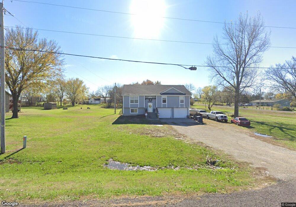
15375 Lynn Rd Leavenworth, KS 66048
Estimated Value: $370,093 - $419,000
4
Beds
3
Baths
1,616
Sq Ft
$247/Sq Ft
Est. Value
About This Home
This home is located at 15375 Lynn Rd, Leavenworth, KS 66048 and is currently estimated at $399,023, approximately $246 per square foot. 15375 Lynn Rd is a home located in Leavenworth County with nearby schools including Lansing Elementary School, Lansing Middle 6-8, and Lansing High 9-12.
Ownership History
Date
Name
Owned For
Owner Type
Purchase Details
Closed on
Dec 4, 2020
Sold by
Andy Brinker
Bought by
Brinker Andrew W and Brinker Mindy S
Current Estimated Value
Home Financials for this Owner
Home Financials are based on the most recent Mortgage that was taken out on this home.
Original Mortgage
$151,500
Outstanding Balance
$135,121
Interest Rate
2.8%
Mortgage Type
New Conventional
Estimated Equity
$263,902
Purchase Details
Closed on
Mar 27, 2006
Sold by
Griggs Jody W
Bought by
Brinker Andrew W and Brinker Mindy
Create a Home Valuation Report for This Property
The Home Valuation Report is an in-depth analysis detailing your home's value as well as a comparison with similar homes in the area
Home Values in the Area
Average Home Value in this Area
Purchase History
| Date | Buyer | Sale Price | Title Company |
|---|---|---|---|
| Brinker Andrew W | $201,495 | Lawyers Title | |
| Brinker Andrew W | $239,340 | -- |
Source: Public Records
Mortgage History
| Date | Status | Borrower | Loan Amount |
|---|---|---|---|
| Open | Brinker Andrew W | $151,500 | |
| Closed | Brinker Andrew W | $159,960 |
Source: Public Records
Tax History Compared to Growth
Tax History
| Year | Tax Paid | Tax Assessment Tax Assessment Total Assessment is a certain percentage of the fair market value that is determined by local assessors to be the total taxable value of land and additions on the property. | Land | Improvement |
|---|---|---|---|---|
| 2025 | $3,557 | $33,789 | $3,359 | $30,430 |
| 2024 | $3,248 | $32,490 | $3,157 | $29,333 |
| 2023 | $3,248 | $30,889 | $3,157 | $27,732 |
| 2022 | $3,154 | $28,888 | $2,705 | $26,183 |
| 2021 | $2,819 | $25,530 | $2,261 | $23,269 |
| 2020 | $2,628 | $23,437 | $2,177 | $21,260 |
| 2019 | $2,445 | $21,976 | $2,004 | $19,972 |
| 2018 | $2,323 | $20,918 | $1,544 | $19,374 |
| 2017 | $2,330 | $20,918 | $1,443 | $19,475 |
| 2016 | $2,318 | $20,918 | $1,429 | $19,489 |
| 2015 | $2,604 | $23,477 | $2,860 | $20,617 |
| 2014 | $2,481 | $22,793 | $2,860 | $19,933 |
Source: Public Records
Map
Nearby Homes
- 15280 Roger Rd
- 15038 Fairmount Rd
- 14934 Fairmount Rd
- 22617 155th St
- 14165 Ashbury Ct
- 5025 146th St
- 5023 146th St
- 5005 146th St
- 5020 146th St
- 5018 146th St
- 6508 141st St
- 23802 140th St
- 5001 N 145th St
- 4551 N 145th St
- Lot 2 139th St
- 4576 Aspen Dr
- 4615 N 144th Terrace
- 4552 Aspen Dr
- 14463 Aurora Ln
- 14616 Aspen Cir