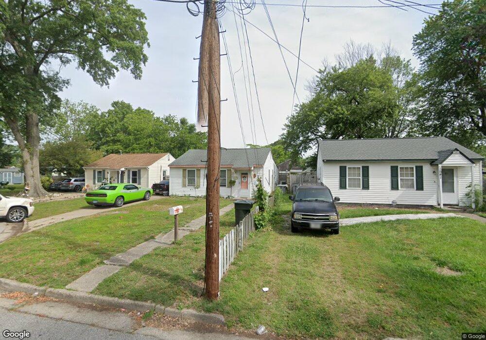
1539 Adams Cir Hampton, VA 23663
Buckroe Beach NeighborhoodEstimated Value: $185,176 - $223,000
3
Beds
1
Bath
884
Sq Ft
$231/Sq Ft
Est. Value
About This Home
This home is located at 1539 Adams Cir, Hampton, VA 23663 and is currently estimated at $204,294, approximately $231 per square foot. 1539 Adams Cir is a home located in Hampton City with nearby schools including Capt. John Smith Elementary School, Benjamin Syms Middle School, and Phoebus High School.
Ownership History
Date
Name
Owned For
Owner Type
Purchase Details
Closed on
Apr 26, 2002
Sold by
Green Mark D
Bought by
Wallace Dennis James
Current Estimated Value
Home Financials for this Owner
Home Financials are based on the most recent Mortgage that was taken out on this home.
Original Mortgage
$58,974
Outstanding Balance
$25,113
Interest Rate
7.05%
Mortgage Type
FHA
Estimated Equity
$179,181
Create a Home Valuation Report for This Property
The Home Valuation Report is an in-depth analysis detailing your home's value as well as a comparison with similar homes in the area
Home Values in the Area
Average Home Value in this Area
Purchase History
| Date | Buyer | Sale Price | Title Company |
|---|---|---|---|
| Wallace Dennis James | $59,900 | -- |
Source: Public Records
Mortgage History
| Date | Status | Borrower | Loan Amount |
|---|---|---|---|
| Open | Wallace Dennis James | $58,974 |
Source: Public Records
Tax History
| Year | Tax Paid | Tax Assessment Tax Assessment Total Assessment is a certain percentage of the fair market value that is determined by local assessors to be the total taxable value of land and additions on the property. | Land | Improvement |
|---|---|---|---|---|
| 2025 | $1,950 | $164,900 | $53,000 | $111,900 |
| 2024 | $1,725 | $150,000 | $53,000 | $97,000 |
| 2023 | $1,456 | $125,500 | $42,500 | $83,000 |
| 2022 | $1,210 | $102,500 | $42,500 | $60,000 |
| 2021 | $1,206 | $86,800 | $35,000 | $51,800 |
| 2020 | $952 | $76,800 | $30,600 | $46,200 |
| 2019 | $944 | $76,100 | $30,600 | $45,500 |
| 2018 | $1,069 | $79,100 | $30,600 | $48,500 |
| 2017 | $1,075 | $0 | $0 | $0 |
| 2016 | $1,075 | $79,100 | $0 | $0 |
| 2015 | $1,075 | $0 | $0 | $0 |
| 2014 | $1,236 | $83,100 | $30,600 | $52,500 |
Source: Public Records
Map
Nearby Homes
- 706 Grimes Rd
- 1845 Kensington Dr
- 1530 Morgan Dr
- 1814 Somerville Dr
- 1909 Long Green Ln
- 1915 Long Green Ln
- 1445 Oakcrest Dr
- 1923 Rawood Dr
- 213 Ireland St
- 1928 Long Green Ln
- 1504 E Pembroke Ave
- 1926 Somerville Dr
- 54 George Ct
- 438 Shelton Rd
- 304 Woodland Rd
- 1912 Beall Dr
- 2013 Whitman Place
- 6 Langille Ct
- 604 Old Buckroe Rd
- 1358 Coral Place
- 1541 Adams Cir
- 1537 Adams Cir
- 1543 Adams Cir
- 1545 Adams Cir
- 1535 Adams Cir
- 1856 Kensington Dr
- 1858 Kensington Dr
- 1854 Kensington Dr
- 1540 Adams Cir
- 1860 Kensington Dr
- 1542 Adams Cir
- 1538 Adams Cir
- 1544 Adams Cir
- 645 Grimes Rd
- 647 Grimes Rd
- 1536 Adams Cir
- 649 Grimes Rd
- 705 Grimes Rd
- 641 Grimes Rd
- 1533 Adams Cir
Your Personal Tour Guide
Ask me questions while you tour the home.