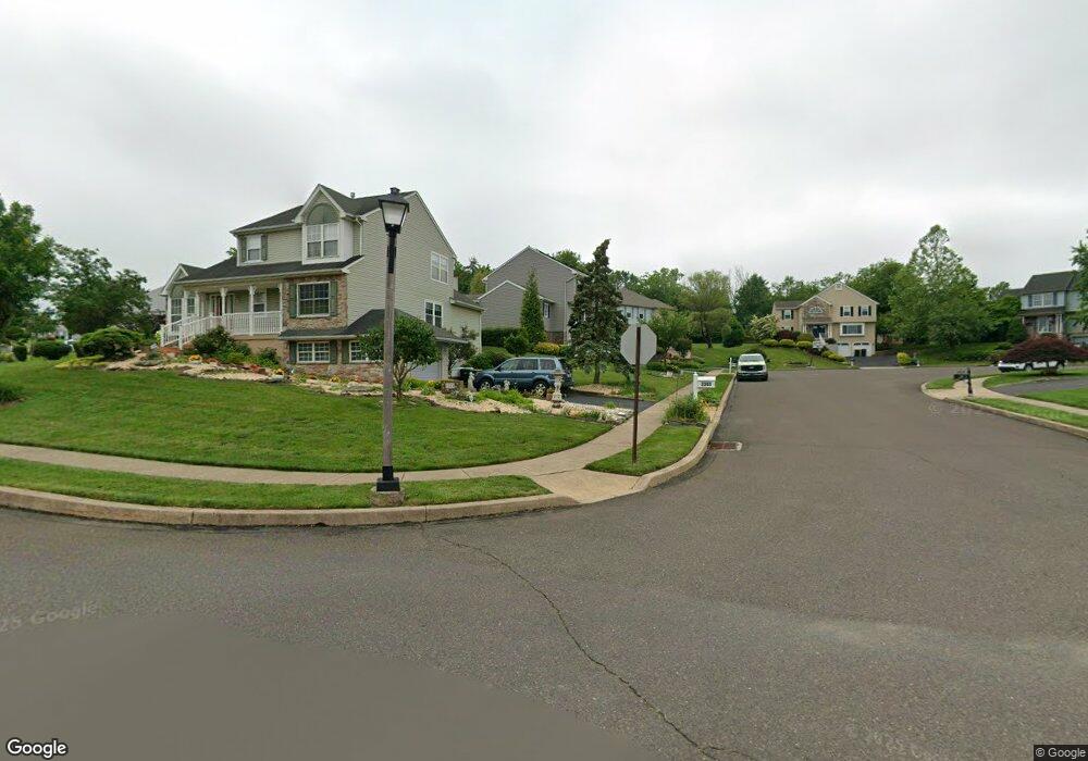
1539 Deer Path Cir Warrington, PA 18976
Estimated Value: $751,000 - $863,000
5
Beds
4
Baths
3,116
Sq Ft
$267/Sq Ft
Est. Value
About This Home
This home is located at 1539 Deer Path Cir, Warrington, PA 18976 and is currently estimated at $830,875, approximately $266 per square foot. 1539 Deer Path Cir is a home located in Bucks County with nearby schools including Jamison Elementary School, Tamanend Middle School, and Central Bucks High School - South.
Ownership History
Date
Name
Owned For
Owner Type
Purchase Details
Closed on
Oct 30, 2017
Sold by
Mallon Robert W and Mallon Andria S
Bought by
Mallon Robert W and Mallon Andria S
Current Estimated Value
Purchase Details
Closed on
Sep 25, 1991
Sold by
Glen Group Inc
Bought by
Mallon Robert W Jr and Mallon Andria S
Create a Home Valuation Report for This Property
The Home Valuation Report is an in-depth analysis detailing your home's value as well as a comparison with similar homes in the area
Home Values in the Area
Average Home Value in this Area
Purchase History
| Date | Buyer | Sale Price | Title Company |
|---|---|---|---|
| Mallon Robert W | -- | None Available | |
| Mallon Robert W Jr | $198,000 | -- |
Source: Public Records
Tax History Compared to Growth
Tax History
| Year | Tax Paid | Tax Assessment Tax Assessment Total Assessment is a certain percentage of the fair market value that is determined by local assessors to be the total taxable value of land and additions on the property. | Land | Improvement |
|---|---|---|---|---|
| 2025 | $8,578 | $46,470 | $9,560 | $36,910 |
| 2024 | $8,578 | $46,470 | $9,560 | $36,910 |
| 2023 | $2,001 | $46,470 | $9,560 | $36,910 |
| 2022 | $7,785 | $46,470 | $9,560 | $36,910 |
| 2021 | $7,699 | $46,470 | $9,560 | $36,910 |
| 2020 | $7,699 | $46,470 | $9,560 | $36,910 |
| 2019 | $7,652 | $46,470 | $9,560 | $36,910 |
| 2018 | $7,567 | $46,470 | $9,560 | $36,910 |
| 2017 | $7,465 | $46,470 | $9,560 | $36,910 |
| 2016 | $7,442 | $46,470 | $9,560 | $36,910 |
| 2015 | -- | $46,470 | $9,560 | $36,910 |
| 2014 | -- | $46,470 | $9,560 | $36,910 |
Source: Public Records
Map
Nearby Homes
- 100 Ginko St Unit 303
- 2226 Orchard Hill Cir
- 100 Fiddleleaf Ln Unit 104
- 100 Claret Ct Unit 102
- 200 Beech Blvd Unit 202
- 200 Beech Blvd Unit 301
- 2234 Evin Dr
- 902 Eagle Ln
- 2302 MacIs Cir
- 1105 Madison Cir
- 2018 Buckingham Dr
- 983 Wilson Ct
- 1877 Brook Ln
- 1917 Brook Ln
- 1656 S Ash Cir
- 2463 Pine Cone Rd
- 612 Bethel Ln Unit THE ROOSEVELT PLAN
- 612 Bethel Ln Unit THE MONROE PLAN
- 871 Coolidge Ct
- 1447 Bentley Dr
- 2363 Deer Path Dr
- 1537 Deer Path Cir
- 2369 Deer Path Dr
- 1535 Deer Path Cir
- 1540 Deer Path Cir
- 2371 Deer Path Dr
- 2368 Deer Path Dr
- 1538 Deer Path Cir
- 1534 Deer Path Cir
- 1536 Stuckert Rd
- 2366 Deer Path Dr
- 2364 Deer Path Dr
- 2370 Deer Path Dr
- 2362 Deer Path Dr
- 2373 Deer Path Dr
- 2360 Deer Path Dr
- 2372 Deer Path Dr
- 2313 Deer Path Dr
- 2355 Deer Path Dr
- 2309 Deer Path Dr