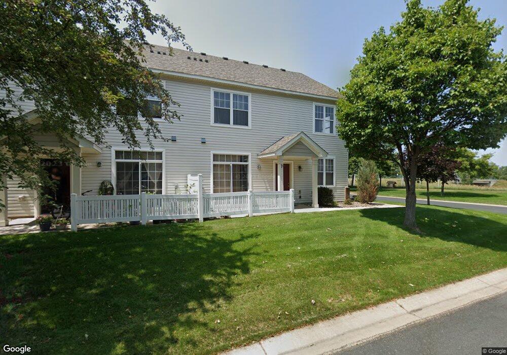
1540 Liberty Cir Unit 2505 Shakopee, MN 55379
Estimated Value: $267,493 - $278,000
2
Beds
3
Baths
1,435
Sq Ft
$190/Sq Ft
Est. Value
About This Home
This home is located at 1540 Liberty Cir Unit 2505, Shakopee, MN 55379 and is currently estimated at $272,873, approximately $190 per square foot. 1540 Liberty Cir Unit 2505 is a home located in Scott County with nearby schools including Jackson Elementary School, East Middle School, and Shakopee Senior High School.
Ownership History
Date
Name
Owned For
Owner Type
Purchase Details
Closed on
Nov 24, 2021
Sold by
Anderson Brent and Anderson Lynn
Bought by
Ponnudurai Thayayogam and Thayayogam Vanivinotha
Current Estimated Value
Home Financials for this Owner
Home Financials are based on the most recent Mortgage that was taken out on this home.
Original Mortgage
$207,200
Outstanding Balance
$190,519
Interest Rate
3.09%
Mortgage Type
New Conventional
Estimated Equity
$82,354
Purchase Details
Closed on
Jan 27, 2004
Sold by
Town And Country Homes Inc
Bought by
Sedey Jason W
Create a Home Valuation Report for This Property
The Home Valuation Report is an in-depth analysis detailing your home's value as well as a comparison with similar homes in the area
Home Values in the Area
Average Home Value in this Area
Purchase History
| Date | Buyer | Sale Price | Title Company |
|---|---|---|---|
| Ponnudurai Thayayogam | $259,000 | First American Title Ins Co | |
| Sedey Jason W | $188,150 | -- |
Source: Public Records
Mortgage History
| Date | Status | Borrower | Loan Amount |
|---|---|---|---|
| Open | Ponnudurai Thayayogam | $207,200 |
Source: Public Records
Tax History Compared to Growth
Tax History
| Year | Tax Paid | Tax Assessment Tax Assessment Total Assessment is a certain percentage of the fair market value that is determined by local assessors to be the total taxable value of land and additions on the property. | Land | Improvement |
|---|---|---|---|---|
| 2025 | $2,712 | $268,300 | $76,100 | $192,200 |
| 2024 | $2,660 | $255,900 | $72,400 | $183,500 |
| 2023 | $2,794 | $252,400 | $71,000 | $181,400 |
| 2022 | $2,560 | $255,200 | $72,700 | $182,500 |
| 2021 | $2,212 | $214,500 | $57,000 | $157,500 |
| 2020 | $2,452 | $205,600 | $47,300 | $158,300 |
| 2019 | $2,238 | $201,000 | $50,000 | $151,000 |
| 2018 | $2,120 | $0 | $0 | $0 |
| 2016 | $2,272 | $0 | $0 | $0 |
| 2014 | -- | $0 | $0 | $0 |
Source: Public Records
Map
Nearby Homes
- 1534 Liberty Cir
- 1507 Liberty Cir
- 1574 Liberty Cir Unit 2406
- 627 Providence Dr
- 1646 Liberty Cir
- 1679 Nordland St
- 820 Princeton Ave Unit 4505
- 291 Appleblossom Ln
- 849 Providence Dr
- 915 Providence Dr Unit 1306
- 125 Pottok Ln
- 1688 Countryside Dr
- 233 Dongola Ln
- 1573 Creekside Ln
- 970 Westchester Ave
- 137 Hickory Ln E
- 1530 Mcintosh Cir
- 736 Barrington Dr E
- 726 Regent Dr
- 1195 Prairie Ln
- 1550 Liberty Cir
- 1542 Liberty Cir Unit 2504
- 1552 Liberty Cir
- 1544 Liberty Cir
- 1554 Liberty Cir Unit 2508
- 1546 Liberty Cir
- 1546 Liberty Cir Unit 2502
- 1556 Liberty Cir Unit 2507
- 1530 Liberty Cir
- 1530 1530 Liberty Cir
- 1558 Liberty Cir Unit 2506
- 1536 Liberty Cir
- 1560 Liberty Cir Unit 2404
- 1520 Liberty Cir
- 1522 Liberty Cir
- 1562 Liberty Cir Unit 2403
- 1524 Liberty Cir
- 1564 Liberty Cir
- 1564 Liberty Cir Unit 2402
- 1538 Liberty Cir