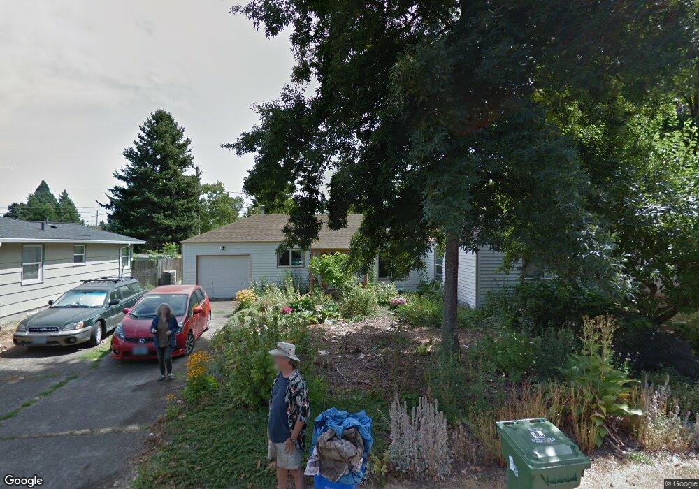
1543 Grove St Eugene, OR 97404
River Road NeighborhoodEstimated Value: $380,807 - $423,000
2
Beds
2
Baths
1,391
Sq Ft
$285/Sq Ft
Est. Value
About This Home
This home is located at 1543 Grove St, Eugene, OR 97404 and is currently estimated at $396,202, approximately $284 per square foot. 1543 Grove St is a home located in Lane County with nearby schools including Howard Elementary School, Kelly Middle School, and North Eugene High School.
Ownership History
Date
Name
Owned For
Owner Type
Purchase Details
Closed on
Sep 2, 2020
Sold by
Litts Ajmes and Litts Alison
Bought by
Litts James
Current Estimated Value
Purchase Details
Closed on
Aug 18, 2016
Sold by
Niedeck Jeffrey S and Niedeck Jo Ellen S
Bought by
Litts James and Litts Alison
Home Financials for this Owner
Home Financials are based on the most recent Mortgage that was taken out on this home.
Original Mortgage
$100,100
Outstanding Balance
$79,469
Interest Rate
3.41%
Mortgage Type
New Conventional
Estimated Equity
$316,733
Create a Home Valuation Report for This Property
The Home Valuation Report is an in-depth analysis detailing your home's value as well as a comparison with similar homes in the area
Home Values in the Area
Average Home Value in this Area
Purchase History
| Date | Buyer | Sale Price | Title Company |
|---|---|---|---|
| Litts James | -- | None Available | |
| Litts James | $209,000 | Western Title & Escrow Co |
Source: Public Records
Mortgage History
| Date | Status | Borrower | Loan Amount |
|---|---|---|---|
| Open | Litts James | $100,100 |
Source: Public Records
Tax History
| Year | Tax Paid | Tax Assessment Tax Assessment Total Assessment is a certain percentage of the fair market value that is determined by local assessors to be the total taxable value of land and additions on the property. | Land | Improvement |
|---|---|---|---|---|
| 2025 | $2,810 | $167,250 | -- | -- |
| 2024 | $2,779 | $162,379 | -- | -- |
| 2023 | $2,779 | $157,650 | $0 | $0 |
| 2022 | $2,614 | $153,059 | $0 | $0 |
| 2021 | $2,431 | $148,601 | $0 | $0 |
| 2020 | $2,448 | $144,273 | $0 | $0 |
| 2019 | $2,362 | $140,071 | $0 | $0 |
| 2018 | $2,203 | $132,031 | $0 | $0 |
| 2017 | $2,122 | $132,031 | $0 | $0 |
| 2016 | $2,033 | $128,185 | $0 | $0 |
| 2015 | $1,961 | $124,451 | $0 | $0 |
| 2014 | $1,945 | $120,826 | $0 | $0 |
Source: Public Records
Map
Nearby Homes
- 1566 Maywood Ave
- 1682 Hemlock St
- 1755 Brentwood Ave
- 389 Maxwell Rd
- 1314 Dalton Dr
- 1880 Manihi Dr
- 1487 Barton St
- 1483 Barton St
- 1360 Andersen Ln
- 788 Cornwall Ave
- 1010 Horn Ln
- 401 Sterling Dr
- 1621 Zoe Ave
- 1164 Veronica Ln
- 1633 Zoe Ave
- 154 Norman Ave
- 172 Norman Ave
- 2439 Quince St
- 303 Lenore Loop
- 2002 Kintyre St
- 1555 Grove St
- 1509 Grove St
- 1567 Grove St
- 1550 Grove St
- 1506 Grove St
- 625 Howard Ave
- 1564 Grove St
- 697 Howard Ave
- 1583 Grove St
- 1539 Linwood St
- 1553 Linwood St
- 1525 Linwood St
- 1580 Grove St
- 611 Rosewood Ave
- 1565 Linwood St
- 699 Howard Ave
- 1595 Grove St
- 605 Howard Ave
- 600 Rosewood Ave Unit VRM
- 600 Rosewood Ave Unit 32
Your Personal Tour Guide
Ask me questions while you tour the home.