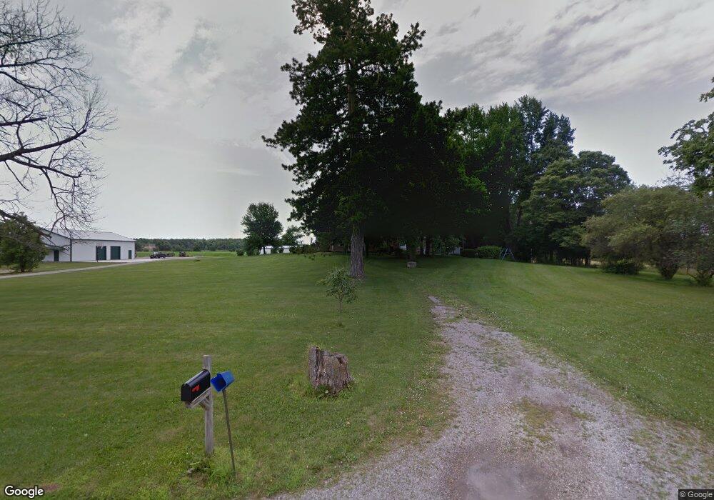
15431 County Road 135 Kenton, OH 43326
Estimated Value: $511,000 - $984,281
5
Beds
1
Bath
4,212
Sq Ft
$178/Sq Ft
Est. Value
About This Home
This home is located at 15431 County Road 135, Kenton, OH 43326 and is currently estimated at $747,641, approximately $177 per square foot. 15431 County Road 135 is a home located in Hardin County with nearby schools including Kenton Elementary School, Kenton Middle School, and Kenton High School.
Ownership History
Date
Name
Owned For
Owner Type
Purchase Details
Closed on
Dec 23, 2020
Sold by
Phillips Jane M
Bought by
Phillips Douglas D and Phillips Deborah S
Current Estimated Value
Home Financials for this Owner
Home Financials are based on the most recent Mortgage that was taken out on this home.
Original Mortgage
$121,260
Interest Rate
2.8%
Mortgage Type
New Conventional
Create a Home Valuation Report for This Property
The Home Valuation Report is an in-depth analysis detailing your home's value as well as a comparison with similar homes in the area
Home Values in the Area
Average Home Value in this Area
Purchase History
| Date | Buyer | Sale Price | Title Company |
|---|---|---|---|
| Phillips Douglas D | $252,000 | None Available |
Source: Public Records
Mortgage History
| Date | Status | Borrower | Loan Amount |
|---|---|---|---|
| Closed | Phillips Douglas D | $121,260 |
Source: Public Records
Tax History Compared to Growth
Tax History
| Year | Tax Paid | Tax Assessment Tax Assessment Total Assessment is a certain percentage of the fair market value that is determined by local assessors to be the total taxable value of land and additions on the property. | Land | Improvement |
|---|---|---|---|---|
| 2024 | $9,223 | $214,700 | $117,790 | $96,910 |
| 2023 | $9,223 | $214,700 | $117,790 | $96,910 |
| 2022 | $6,484 | $141,820 | $58,310 | $83,510 |
| 2021 | $6,488 | $141,820 | $58,310 | $83,510 |
| 2020 | $5,613 | $141,820 | $58,310 | $83,510 |
| 2019 | $6,540 | $171,790 | $99,670 | $72,120 |
| 2018 | $6,570 | $171,790 | $99,670 | $72,120 |
| 2017 | $6,665 | $171,790 | $99,670 | $72,120 |
| 2016 | $6,880 | $191,490 | $133,610 | $57,880 |
| 2015 | $6,457 | $182,290 | $133,610 | $48,680 |
| 2014 | $6,613 | $183,790 | $135,110 | $48,680 |
| 2013 | $3,989 | $105,100 | $59,350 | $45,750 |
Source: Public Records
Map
Nearby Homes
- 320 Letson Ave
- 13450 State Route 292
- 414 Robinson Ave
- 727 S Detroit St
- 11279 Township Road 180
- 639 S Main St
- 726 Tracy St
- 702 W Franklin St Unit 702 1/2
- 723 W Lima St Unit 66
- 723 W Lima St Unit 1
- 0 Ohio 309
- 508 Decatur St
- 510 Decatur St
- 424 W Carrol St
- 121 S High St
- 1255 W North St Unit Lot 47
- 219 W Carrol St
- 920 Cooper St
- 530 E Franklin St
- 513 E Franklin St
- 15267 County Road 135
- 14702 Us Highway 68
- 14849 Us Highway 68
- 14846 Us Highway 68
- 14312 Us Highway 68
- 15086 Us Highway 68
- 15087 Us Highway 68
- 13837 N Vision Dr
- 14221 County Road 155
- 15266 Us Highway 68
- 15266 Us Highway 68
- 15266 Us Highway 68
- 15266 State Route 68
- 14265 County Rd
- 14301 County Road 155
- 14265 Cr
- 14335 County Road 155
- 14125 County Road 155