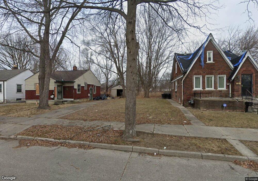
15439 Linnhurst St Detroit, MI 48205
Maple Ridge NeighborhoodEstimated Value: $23,029 - $114,000
4
Beds
1
Bath
1,359
Sq Ft
$55/Sq Ft
Est. Value
About This Home
This home is located at 15439 Linnhurst St, Detroit, MI 48205 and is currently estimated at $75,010, approximately $55 per square foot. 15439 Linnhurst St is a home located in Wayne County with nearby schools including Edward 'Duke' Ellington Conservatory of Music and Art, Charles L. Spain Elementary-Middle School, and Denby High School.
Ownership History
Date
Name
Owned For
Owner Type
Purchase Details
Closed on
May 19, 2014
Sold by
The City Of Detroit
Bought by
The Detroit Land Bank Authority
Current Estimated Value
Purchase Details
Closed on
Feb 7, 2013
Sold by
Wayne County Treasurer
Bought by
Planning & Development Dept City Of Detr
Purchase Details
Closed on
Feb 8, 2006
Sold by
Porter Oliver
Bought by
Mortgage Electronic Registration Systems
Purchase Details
Closed on
May 20, 2005
Sold by
Equity Trust Co
Bought by
Porter Oliver
Purchase Details
Closed on
Feb 16, 2005
Sold by
Grigg Leslie M and Knox Chad
Bought by
Equity Trust Co and Leslie M Grigg Ira
Purchase Details
Closed on
Oct 27, 2004
Sold by
Wojtowicz Raymond J
Bought by
Griggs Leslie M
Create a Home Valuation Report for This Property
The Home Valuation Report is an in-depth analysis detailing your home's value as well as a comparison with similar homes in the area
Home Values in the Area
Average Home Value in this Area
Purchase History
| Date | Buyer | Sale Price | Title Company |
|---|---|---|---|
| The Detroit Land Bank Authority | -- | None Available | |
| Planning & Development Dept City Of Detr | -- | None Available | |
| Mortgage Electronic Registration Systems | $74,855 | None Available | |
| Porter Oliver | -- | Colonial Title Co | |
| Porter Oliver | -- | Colonial Title Co | |
| Porter Oliver | $85,000 | Colonial Title Co | |
| Equity Trust Co | -- | Colonial Title Co | |
| Griggs Leslie M | $29,000 | -- |
Source: Public Records
Tax History Compared to Growth
Tax History
| Year | Tax Paid | Tax Assessment Tax Assessment Total Assessment is a certain percentage of the fair market value that is determined by local assessors to be the total taxable value of land and additions on the property. | Land | Improvement |
|---|---|---|---|---|
| 2025 | -- | $0 | $0 | $0 |
| 2024 | -- | $0 | $0 | $0 |
| 2023 | $0 | $0 | $0 | $0 |
| 2022 | $0 | $0 | $0 | $0 |
| 2021 | $0 | $0 | $0 | $0 |
| 2020 | $1,641 | $0 | $0 | $0 |
| 2019 | $1,641 | $0 | $0 | $0 |
| 2018 | $0 | $0 | $0 | $0 |
| 2017 | -- | $0 | $0 | $0 |
| 2016 | $1,431 | $0 | $0 | $0 |
| 2015 | $1,431 | $0 | $0 | $0 |
| 2013 | $1,431 | $14,308 | $0 | $0 |
| 2010 | -- | $20,977 | $749 | $20,228 |
Source: Public Records
Map
Nearby Homes
- 15480 Saratoga St
- 15294 Saratoga St
- 15257 Faircrest St
- 15227 Linnhurst St
- 15315 Park Grove St
- 18814 Morang Dr
- 18820 Morang Dr
- 15646 Saratoga St
- 15596 Eastwood St
- 15309 Mapleridge St
- 15243 Fordham St
- 15611 Mapleridge St
- 15666 Eastwood St
- 15470 Mapleridge St
- 15430 Mapleridge St
- 15762 Glenwood St
- 15860 Faircrest St
- 15649 E 7 Mile Rd
- 15804 E 7 Mile Rd
- 15860 Fordham St
- 15447 Linnhurst St
- 15433 Linnhurst St
- 15451 Linnhurst St
- 15425 Linnhurst St
- 15457 Linnhurst St
- 15463 Linnhurst St
- 15440 Faircrest St
- 15430 Faircrest St
- 15452 Faircrest St
- 15420 Faircrest St
- 15471 Linnhurst St
- 15440 Linnhurst St
- 15430 Linnhurst St
- 15450 Linnhurst St
- 15403 Linnhurst St
- 15422 Linnhurst St
- 15412 Faircrest St
- 15464 Faircrest St
- 15456 Linnhurst St
- 15473 Linnhurst St