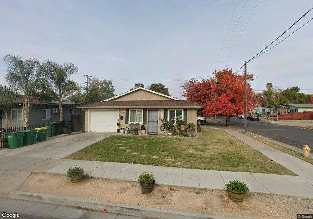
1545 E Walnut St Stockton, CA 95205
Midtown NeighborhoodEstimated Value: $284,000 - $544,000
8
Beds
4
Baths
1,655
Sq Ft
$275/Sq Ft
Est. Value
About This Home
This home is located at 1545 E Walnut St, Stockton, CA 95205 and is currently estimated at $454,855, approximately $274 per square foot. 1545 E Walnut St is a home located in San Joaquin County with nearby schools including Grunsky Elementary School, Harrison Elementary School, and August Elementary School.
Ownership History
Date
Name
Owned For
Owner Type
Purchase Details
Closed on
May 23, 2011
Sold by
Navone Daniel
Bought by
Navone Daniel Joseph and Daniel Joseph Navone Trust
Current Estimated Value
Purchase Details
Closed on
May 28, 2002
Sold by
Letlow Rodney D
Bought by
Navone Francine
Home Financials for this Owner
Home Financials are based on the most recent Mortgage that was taken out on this home.
Original Mortgage
$120,000
Interest Rate
6.89%
Create a Home Valuation Report for This Property
The Home Valuation Report is an in-depth analysis detailing your home's value as well as a comparison with similar homes in the area
Home Values in the Area
Average Home Value in this Area
Purchase History
| Date | Buyer | Sale Price | Title Company |
|---|---|---|---|
| Navone Daniel Joseph | -- | None Available | |
| Navone Daniel | -- | None Available | |
| Navone Daniel | -- | None Available | |
| Navone Francine | -- | Central Valley Title Company |
Source: Public Records
Mortgage History
| Date | Status | Borrower | Loan Amount |
|---|---|---|---|
| Closed | Navone Francine | $120,000 |
Source: Public Records
Tax History
| Year | Tax Paid | Tax Assessment Tax Assessment Total Assessment is a certain percentage of the fair market value that is determined by local assessors to be the total taxable value of land and additions on the property. | Land | Improvement |
|---|---|---|---|---|
| 2025 | $1,322 | $102,485 | $25,619 | $76,866 |
| 2024 | $1,301 | $100,476 | $25,117 | $75,359 |
| 2023 | $1,272 | $98,507 | $24,625 | $73,882 |
| 2022 | $1,232 | $96,577 | $24,143 | $72,434 |
| 2021 | $1,185 | $94,684 | $23,670 | $71,014 |
| 2020 | $1,207 | $93,714 | $23,428 | $70,286 |
| 2019 | $1,202 | $91,877 | $22,969 | $68,908 |
| 2018 | $1,180 | $90,076 | $22,519 | $67,557 |
| 2017 | $1,119 | $88,311 | $22,078 | $66,233 |
| 2016 | $1,138 | $86,580 | $21,645 | $64,935 |
| 2014 | $1,081 | $83,609 | $20,902 | $62,707 |
Source: Public Records
Map
Nearby Homes
- 1816 N Sierra Nevada St
- 1702 Sunnyside Ave
- 1600 Sunnyside Ave
- 1902 E Harding Way
- 1217 E Harding Way
- 1205 N Airport Way
- 1262 N Union St
- 1111 Pinchot St
- 1926 E Roosevelt St
- 1450 Belvedere Ave
- 1141 N E St
- 2379 E Willow St
- 2340 Sanguinetti Ln Unit 54
- 644 N Airport Way
- 1825 N Filbert St
- 630 N Watts Ave
- 2472 Robindale Ave
- 434 E Cleveland St
- 1322 N Filbert St
- 1306 N Filbert St
- 1509 E Walnut St
- 1719 School Ave
- 1605 E Walnut St
- 1507 E Walnut St
- 1727 School Ave
- 1720 School Ave
- 1720 East Ave
- 1607 E Walnut St
- 1706 East Ave
- 1641 School Ave
- 1728 East Ave
- 1730 School Ave
- 1735 School Ave
- 1542 E Walnut St
- 1619 E Walnut St
- 1528 E Walnut St
- 1736 East Ave
- 1746 School Ave
- 1743 School Ave
- 1721 N Funston Ave
Your Personal Tour Guide
Ask me questions while you tour the home.