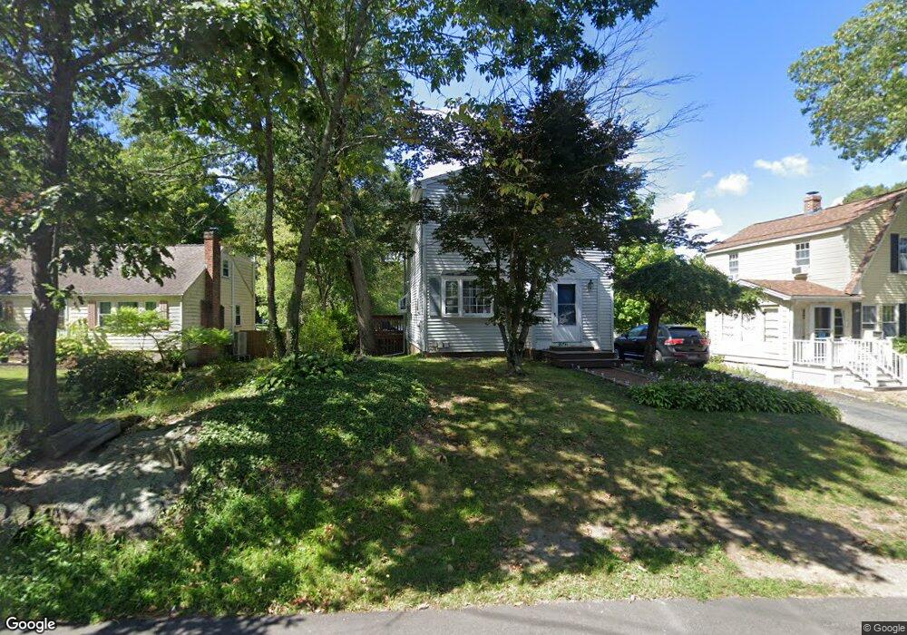
1547 Liberty St Braintree, MA 02184
Braintree Highlands NeighborhoodEstimated Value: $566,000 - $594,437
3
Beds
2
Baths
1,380
Sq Ft
$418/Sq Ft
Est. Value
About This Home
This home is located at 1547 Liberty St, Braintree, MA 02184 and is currently estimated at $577,359, approximately $418 per square foot. 1547 Liberty St is a home located in Norfolk County with nearby schools including Boston Higashi School, Lighthouse Baptist Christian Academy, and CATS Academy Boston.
Ownership History
Date
Name
Owned For
Owner Type
Purchase Details
Closed on
Aug 25, 2006
Sold by
Baliulis Jurijus and Baliuliene Skirmante
Bought by
Coyne Susan E
Current Estimated Value
Home Financials for this Owner
Home Financials are based on the most recent Mortgage that was taken out on this home.
Original Mortgage
$250,000
Interest Rate
6.83%
Mortgage Type
Purchase Money Mortgage
Purchase Details
Closed on
Nov 8, 2002
Sold by
Murphy Brian P
Bought by
Baliuliene Skirmante
Purchase Details
Closed on
Feb 27, 1998
Sold by
1547 Liberty St
Bought by
Murphy Brian P
Purchase Details
Closed on
Jun 14, 1990
Sold by
Bognanno Francis A
Bought by
Denapoli Ernest
Create a Home Valuation Report for This Property
The Home Valuation Report is an in-depth analysis detailing your home's value as well as a comparison with similar homes in the area
Home Values in the Area
Average Home Value in this Area
Purchase History
| Date | Buyer | Sale Price | Title Company |
|---|---|---|---|
| Coyne Susan E | $291,000 | -- | |
| Baliuliene Skirmante | $252,000 | -- | |
| Murphy Brian P | $139,900 | -- | |
| Denapoli Ernest | $102,000 | -- | |
| Coyne Susan E | $291,000 | -- | |
| Baliuliene Skirmante | $252,000 | -- | |
| Murphy Brian P | $139,900 | -- | |
| Denapoli Ernest | $102,000 | -- |
Source: Public Records
Mortgage History
| Date | Status | Borrower | Loan Amount |
|---|---|---|---|
| Open | Denapoli Ernest | $284,850 | |
| Closed | Coyne Susan E | $250,000 |
Source: Public Records
Tax History Compared to Growth
Tax History
| Year | Tax Paid | Tax Assessment Tax Assessment Total Assessment is a certain percentage of the fair market value that is determined by local assessors to be the total taxable value of land and additions on the property. | Land | Improvement |
|---|---|---|---|---|
| 2025 | $5,056 | $506,600 | $266,600 | $240,000 |
| 2024 | $4,618 | $487,100 | $250,500 | $236,600 |
| 2023 | $4,390 | $449,800 | $226,200 | $223,600 |
| 2022 | $4,315 | $433,700 | $210,100 | $223,600 |
| 2021 | $4,024 | $404,400 | $193,900 | $210,500 |
| 2020 | $3,615 | $366,600 | $177,800 | $188,800 |
| 2019 | $3,567 | $353,500 | $177,800 | $175,700 |
| 2018 | $3,478 | $330,000 | $161,600 | $168,400 |
| 2017 | $3,265 | $304,000 | $145,400 | $158,600 |
| 2016 | $3,088 | $281,200 | $129,300 | $151,900 |
| 2015 | $2,971 | $268,400 | $122,000 | $146,400 |
| 2014 | $2,874 | $251,700 | $116,400 | $135,300 |
Source: Public Records
Map
Nearby Homes
- 1501 Liberty St
- 104 Milton Rd
- 6 E Division St
- 373 N Franklin St
- 29 Woodedge Ave
- 30 Bradford Commons Ln
- 16 Winthrop Ave
- 115 Richard Rd
- 44 Arlington Ave
- 16 Woodcliff Rd
- 184 Richard Rd
- 61 Woodside Ave
- 134 Tyson Commons Ln
- 1579 Washington St
- 175 Tyson Commons Ln
- 117 Amherst Rd
- 256 Evergreen Ave
- 187 Belcher St
- 354 Tilden Commons Ln
- 22 Medallion Rd
- 1547 Liberty St
- 1547 Liberty St
- 1543 Liberty St
- 2 Ashworth Ave
- 1553 Liberty St
- 16 Ashworth Ave
- 1542 Liberty St
- 1533 Liberty St
- 3 Ashworth Ave
- 1559 Liberty St
- 1534 Liberty St
- 1523 Liberty St
- 1565 Liberty St
- 1564 Liberty St
- 1528 Liberty St
- 16 Aspinwall Rd
- 241 Wildwood Ave
- 245 Wildwood Ave
- 1572 Liberty St
- 233 Wildwood Ave