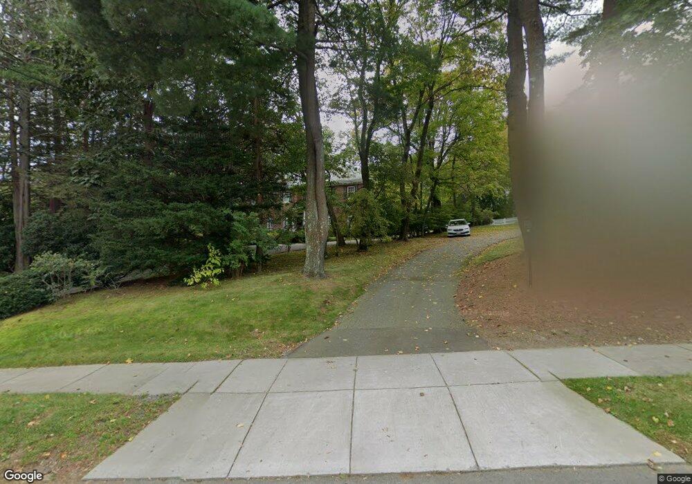
1548 Commonwealth Ave West Newton, MA 02465
West Newton NeighborhoodEstimated Value: $3,273,423 - $4,039,000
4
Beds
5
Baths
4,321
Sq Ft
$863/Sq Ft
Est. Value
About This Home
This home is located at 1548 Commonwealth Ave, West Newton, MA 02465 and is currently estimated at $3,727,606, approximately $862 per square foot. 1548 Commonwealth Ave is a home located in Middlesex County with nearby schools including Peirce Elementary School, F.A. Day Middle School, and Newton North High School.
Ownership History
Date
Name
Owned For
Owner Type
Purchase Details
Closed on
Apr 15, 1992
Sold by
Lezberg Michael D and Lezberg Amy
Bought by
Bernstein Shelly C and Bernstein Nancy J
Current Estimated Value
Purchase Details
Closed on
Nov 6, 1987
Sold by
Pike Burton M
Bought by
Lezberg Michael D
Create a Home Valuation Report for This Property
The Home Valuation Report is an in-depth analysis detailing your home's value as well as a comparison with similar homes in the area
Home Values in the Area
Average Home Value in this Area
Purchase History
| Date | Buyer | Sale Price | Title Company |
|---|---|---|---|
| Bernstein Shelly C | $784,500 | -- | |
| Lezberg Michael D | $450,000 | -- |
Source: Public Records
Mortgage History
| Date | Status | Borrower | Loan Amount |
|---|---|---|---|
| Open | Lezberg Michael D | $393,000 | |
| Closed | Lezberg Michael D | $95,000 | |
| Closed | Lezberg Michael D | $585,000 |
Source: Public Records
Tax History
| Year | Tax Paid | Tax Assessment Tax Assessment Total Assessment is a certain percentage of the fair market value that is determined by local assessors to be the total taxable value of land and additions on the property. | Land | Improvement |
|---|---|---|---|---|
| 2025 | $29,883 | $3,049,300 | $1,586,700 | $1,462,600 |
| 2024 | $28,894 | $2,960,500 | $1,540,500 | $1,420,000 |
| 2023 | $27,884 | $2,739,100 | $1,245,100 | $1,494,000 |
| 2022 | $26,681 | $2,536,200 | $1,152,900 | $1,383,300 |
| 2021 | $25,744 | $2,392,600 | $1,087,600 | $1,305,000 |
| 2020 | $24,979 | $2,392,600 | $1,087,600 | $1,305,000 |
| 2019 | $24,274 | $2,322,900 | $1,055,900 | $1,267,000 |
| 2018 | $23,433 | $2,165,700 | $930,500 | $1,235,200 |
| 2017 | $22,719 | $2,043,100 | $877,800 | $1,165,300 |
| 2016 | $21,729 | $1,909,400 | $820,400 | $1,089,000 |
| 2015 | $20,718 | $1,784,500 | $766,700 | $1,017,800 |
Source: Public Records
Map
Nearby Homes
- 40 Sewall St
- 26 Sewall St
- 27 Tennyson Rd
- 81 Fuller St
- 19 Gordon Rd
- 18 Moffat Rd
- 15 Gammons Rd
- 0 Duncan Rd Unit 72925240
- 115 Windsor Rd
- 97 Valentine St
- 20 Risley Rd
- 29 Montclair Rd
- 7 Sharon Ave Unit 7
- 1230 Commonwealth Ave
- 1917 Commonwealth Ave Unit 1917
- 1919 Commonwealth Ave Unit 1919
- 55 Evelyn Rd
- 1438 Beacon St
- 155 Paulson Rd
- 110 Avalon Rd
- 1564 Commonwealth Ave
- 1540 Commonwealth Ave
- 101 Exeter St
- 111 Exeter St
- 0 Ruane Rd
- 1572 Commonwealth Ave
- 1526 Commonwealth Ave
- 1526 Commonwealth Ave Unit 1526
- 1526 Commonwealth Ave
- 1551 Commonwealth Ave
- 1555 Commonwealth Ave
- 255 Fuller St
- 1580 Commonwealth Ave
- 100 Exeter St
- 1569 Commonwealth Ave
- 279 Fuller St
- 112 Exeter St
- 78 Exeter St
- 88 Exeter St
- 1525 Commonwealth Ave
Your Personal Tour Guide
Ask me questions while you tour the home.