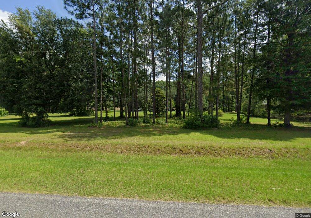
Estimated Value: $268,000 - $342,000
Studio
--
Bath
2,093
Sq Ft
$138/Sq Ft
Est. Value
About This Home
This home is located at 1548 Dixie Barwick Rd, Dixie, GA 31629 and is currently estimated at $288,433, approximately $137 per square foot. 1548 Dixie Barwick Rd is a home with nearby schools including Quitman Elementary School and Westbrook School.
Ownership History
Date
Name
Owned For
Owner Type
Purchase Details
Closed on
Nov 10, 2006
Sold by
Desantiago Elizabeth S
Bought by
Desantiago Brandon S
Current Estimated Value
Purchase Details
Closed on
Jun 2, 1998
Bought by
Desantiago Martha Elizabeth
Create a Home Valuation Report for This Property
The Home Valuation Report is an in-depth analysis detailing your home's value as well as a comparison with similar homes in the area
Purchase History
| Date | Buyer | Sale Price | Title Company |
|---|---|---|---|
| Desantiago Brandon S | -- | -- | |
| Desantiago Martha Elizabeth | -- | -- |
Source: Public Records
Tax History Compared to Growth
Tax History
| Year | Tax Paid | Tax Assessment Tax Assessment Total Assessment is a certain percentage of the fair market value that is determined by local assessors to be the total taxable value of land and additions on the property. | Land | Improvement |
|---|---|---|---|---|
| 2025 | $2,488 | $86,080 | $8,280 | $77,800 |
| 2024 | $2,488 | $86,080 | $8,280 | $77,800 |
| 2023 | $1,702 | $73,240 | $7,560 | $65,680 |
| 2022 | $1,592 | $57,320 | $7,200 | $50,120 |
| 2021 | $1,487 | $53,560 | $7,080 | $46,480 |
| 2020 | $1,492 | $53,720 | $7,080 | $46,640 |
| 2019 | $1,657 | $51,360 | $7,200 | $44,160 |
| 2018 | $1,511 | $51,720 | $7,040 | $44,680 |
| 2017 | $1,615 | $50,120 | $7,040 | $43,080 |
| 2016 | $1,658 | $50,600 | $7,040 | $43,560 |
| 2015 | -- | $50,640 | $7,040 | $43,600 |
| 2014 | -- | $52,080 | $7,040 | $45,040 |
| 2013 | -- | $45,400 | $7,040 | $38,360 |
Source: Public Records
Map
Nearby Homes
- 0 Spencer Rd
- 5199 U S 84
- 2818 Dry Lake Rd
- 2156 County Road 78
- 431 Dry Lake Rd
- 9900 Ozell Rd
- 4126 Grooverville Rd
- 682 Salem Rd
- 130 E Adams St
- 1540 Dunn Rd
- 2434 Dunn Rd
- 800 Clifford St
- 7402 Coffee Rd
- 1038-BA Church St
- 804 Westlake Dr
- 309 Eastlake Dr
- 640 Bernice Glenn Rd #5
- 602 N Webster St
- 903 W Hill St
- 304 W Rountree St
- 1432 Dixie Barwick Rd
- 1639 Dixie Barwick Rd
- 1845 Dixie Barwick Rd
- 1245 Dixie Barwick Rd
- 430 Simpson Rd
- 3305 Old Thomasville Rd
- 1899 Dixie Barwick Rd
- 3193 Old Thomasville Rd
- 329 Simpson Rd
- 3501 Old Thomasville Rd
- 3501 Old Thomasville Rd
- 200 Simpson Rd
- 3571 Old Thomasville Rd
- 267 Simpson Rd
- 3003 Old Thomasville Rd
- 3004 Old Thomasville Rd
- 00 Dixie Barwick Road Hutchinson
- 2085 Dixie Barwick Rd
- 2115 Dixie Barwick Rd
- 2221 Dixie Barwick Rd
