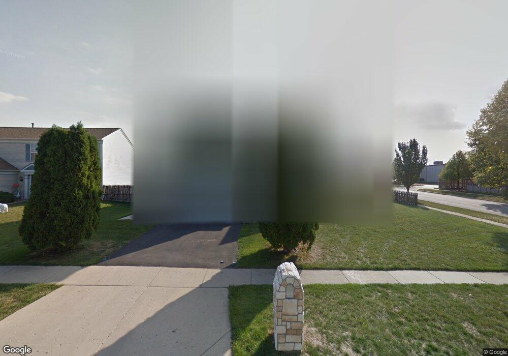
1549 Saint Andrews Cir Elgin, IL 60123
College Green NeighborhoodEstimated Value: $348,000 - $418,000
3
Beds
3
Baths
2,407
Sq Ft
$162/Sq Ft
Est. Value
About This Home
This home is located at 1549 Saint Andrews Cir, Elgin, IL 60123 and is currently estimated at $389,105, approximately $161 per square foot. 1549 Saint Andrews Cir is a home located in Kane County with nearby schools including Otter Creek Elementary School, Abbott Middle School, and South Elgin High School.
Ownership History
Date
Name
Owned For
Owner Type
Purchase Details
Closed on
Oct 30, 1998
Sold by
Tinajero Martina Campos De
Bought by
Barrera Ricardo and Barrera Atala
Current Estimated Value
Purchase Details
Closed on
Dec 12, 1996
Sold by
Willis William P and Caldwell Debra S
Bought by
Barrera Ricardo and Barrera Atala
Home Financials for this Owner
Home Financials are based on the most recent Mortgage that was taken out on this home.
Original Mortgage
$134,867
Interest Rate
7.74%
Mortgage Type
FHA
Purchase Details
Closed on
Feb 1, 1995
Sold by
Mall Gregory N
Bought by
Willis William P and Willis Debra S
Home Financials for this Owner
Home Financials are based on the most recent Mortgage that was taken out on this home.
Original Mortgage
$113,600
Interest Rate
7.12%
Create a Home Valuation Report for This Property
The Home Valuation Report is an in-depth analysis detailing your home's value as well as a comparison with similar homes in the area
Home Values in the Area
Average Home Value in this Area
Purchase History
| Date | Buyer | Sale Price | Title Company |
|---|---|---|---|
| Barrera Ricardo | -- | -- | |
| Barrera Ricardo | $137,000 | -- | |
| Willis William P | $142,000 | -- |
Source: Public Records
Mortgage History
| Date | Status | Borrower | Loan Amount |
|---|---|---|---|
| Previous Owner | Barrera Ricardo | $134,867 | |
| Previous Owner | Willis William P | $113,600 |
Source: Public Records
Tax History Compared to Growth
Tax History
| Year | Tax Paid | Tax Assessment Tax Assessment Total Assessment is a certain percentage of the fair market value that is determined by local assessors to be the total taxable value of land and additions on the property. | Land | Improvement |
|---|---|---|---|---|
| 2024 | $8,820 | $118,212 | $26,129 | $92,083 |
| 2023 | $8,422 | $106,796 | $23,606 | $83,190 |
| 2022 | $7,924 | $97,380 | $21,525 | $75,855 |
| 2021 | $7,587 | $91,043 | $20,124 | $70,919 |
| 2020 | $7,380 | $86,914 | $19,211 | $67,703 |
| 2019 | $7,172 | $82,791 | $18,300 | $64,491 |
| 2018 | $6,736 | $74,132 | $17,240 | $56,892 |
| 2017 | $6,591 | $70,081 | $16,298 | $53,783 |
| 2016 | $6,294 | $65,016 | $15,120 | $49,896 |
| 2015 | -- | $59,593 | $13,859 | $45,734 |
| 2014 | -- | $58,857 | $13,688 | $45,169 |
| 2013 | -- | $60,409 | $14,049 | $46,360 |
Source: Public Records
Map
Nearby Homes
- 1705 College Green Dr Unit 2
- 962 Ascot Dr
- 1996 College Green Dr
- 830 Baltusrol Dr
- 2038 College Green Dr
- 1370 Marleigh Ln
- 475 S Belmont Ave Unit 1
- 590 Fenwick Ln
- 387 S Pointe Ave
- 761 Verde Vista Ct Unit 611F
- 1436 Marleigh Ln
- 2366 Nantucket Ln
- 2359 Nantucket Ln Unit 9
- 1-11 South St
- 005 South St
- 466 Melrose Ct
- 435 Sandhurst Ln Unit 3
- 1091 Delta Dr Unit 305E
- 1458 Woodland Dr
- 2352 Cove Ct Unit 125B
- 1545 Saint Andrews Cir
- 1555 Saint Andrews Cir
- 1541 Saint Andrews Cir
- 1546 Saint Andrews Cir
- 1550 Saint Andrews Cir
- 1542 Saint Andrews Cir
- 1537 Saint Andrews Cir
- 1559 Saint Andrews Cir
- 1556 Saint Andrews Cir
- 1538 Saint Andrews Cir
- 1560 Saint Andrews Cir
- 1533 Saint Andrews Cir
- 1534 Saint Andrews Cir
- 1565 Saint Andrews Cir
- 800 S Mclean Blvd
- 1570 Saint Andrews Cir
- 1570 Saint Andrews Cir
- 1575 Saint Andrews Cir Unit 1
- 1530 Saint Andrews Cir
- 1525 Saint Andrews Cir