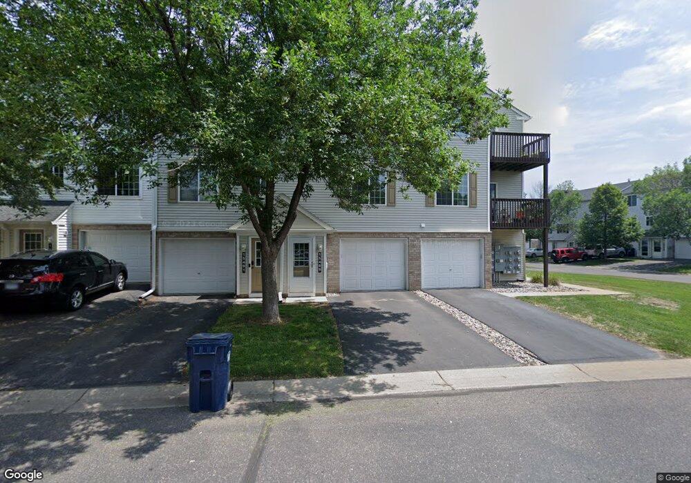
15491 Flight Way Saint Paul, MN 55124
Downtown Apple Valley NeighborhoodEstimated Value: $210,619 - $219,000
2
Beds
2
Baths
926
Sq Ft
$232/Sq Ft
Est. Value
About This Home
This home is located at 15491 Flight Way, Saint Paul, MN 55124 and is currently estimated at $214,905, approximately $232 per square foot. 15491 Flight Way is a home located in Dakota County with nearby schools including Parkview Elementary School, Scott Highlands Middle School, and Rosemount Senior High School.
Ownership History
Date
Name
Owned For
Owner Type
Purchase Details
Closed on
Sep 26, 2007
Sold by
Anderson Deann M
Bought by
Floersch Christine M
Current Estimated Value
Purchase Details
Closed on
Jul 14, 2004
Sold by
Mertesdorf Adam
Bought by
Anderson Deann
Purchase Details
Closed on
Jun 21, 2002
Sold by
Pulte Homes Minnesota Corp
Bought by
Mertesdori Adam
Create a Home Valuation Report for This Property
The Home Valuation Report is an in-depth analysis detailing your home's value as well as a comparison with similar homes in the area
Home Values in the Area
Average Home Value in this Area
Purchase History
| Date | Buyer | Sale Price | Title Company |
|---|---|---|---|
| Floersch Christine M | $148,000 | -- | |
| Anderson Deann | $152,000 | -- | |
| Mertesdori Adam | $127,465 | -- |
Source: Public Records
Tax History Compared to Growth
Tax History
| Year | Tax Paid | Tax Assessment Tax Assessment Total Assessment is a certain percentage of the fair market value that is determined by local assessors to be the total taxable value of land and additions on the property. | Land | Improvement |
|---|---|---|---|---|
| 2024 | $2,042 | $194,200 | $28,800 | $165,400 |
| 2023 | $2,042 | $194,200 | $28,800 | $165,400 |
| 2022 | $1,750 | $185,600 | $27,500 | $158,100 |
| 2021 | $1,692 | $166,300 | $25,000 | $141,300 |
| 2020 | $1,616 | $158,400 | $23,800 | $134,600 |
| 2019 | $1,350 | $148,400 | $22,300 | $126,100 |
| 2018 | $1,249 | $133,900 | $20,100 | $113,800 |
| 2017 | $1,241 | $121,600 | $18,300 | $103,300 |
| 2016 | $1,127 | $116,200 | $17,500 | $98,700 |
| 2015 | $816 | $79,499 | $11,951 | $67,548 |
| 2014 | -- | $56,173 | $8,455 | $47,718 |
| 2013 | -- | $40,200 | $6,060 | $34,140 |
Source: Public Records
Map
Nearby Homes
- 15521 Foghorn Ln
- 15537 Foghorn Ln Unit 45
- 15386 Founders Ln Unit 805
- 6524 154th St W Unit 107
- 15316 Founders Ln Unit 304
- 15312 Flower Way Unit 196
- 6406 157th St W
- 6869 Folkestone Rd Unit 614
- 15681 Flackwood Way
- 15263 Florist Cir Unit 26
- 6887 Folkestone Rd Unit 712
- 6760 158th St W
- 15649 Flackwood Way
- 15973 Flotilla Trail Unit 300
- 15749 Fjord Ave Unit 141
- 15568 Gateway Path Unit 147
- 15687 Finewood Ct
- 6414 158th St W Unit 201
- 15684 Finewood Ct
- 15503 Gateway Path Unit 128
- 15489 Flight Way Unit 31
- 15493 Flight Way
- 15493 Flight Way
- 15495 Flight Way
- 15495 Flight Way Unit 28
- 15487 Flight Way Unit 32
- 15485 Flight Way
- 15485 Flight Way
- 15485 Flight Way
- 15485 Flight Way Unit 33
- 15483 Flight Way Unit 34
- 15497 Flight Way
- 15497 Flight Way
- 15481 Flight Way
- 15481 Flight Way
- 15499 Flight Way
- 15499 Flight Way
- 15479 Flight Way
- 15501 Flight Way Unit 25
- 15531 Foghorn Ln