155 Root Rd Hastings, MI 49058
Estimated Value: $295,000 - $367,000
3
Beds
2
Baths
1,650
Sq Ft
$204/Sq Ft
Est. Value
About This Home
This home is located at 155 Root Rd, Hastings, MI 49058 and is currently estimated at $337,385, approximately $204 per square foot. 155 Root Rd is a home with nearby schools including Hastings High School and St. Rose of Lima School.
Ownership History
Date
Name
Owned For
Owner Type
Purchase Details
Closed on
Oct 30, 2012
Sold by
Whiteman Brian and Whiteman Lisa
Bought by
Heuss Jacob and Bivens Heuss Nichole
Current Estimated Value
Home Financials for this Owner
Home Financials are based on the most recent Mortgage that was taken out on this home.
Original Mortgage
$117,900
Outstanding Balance
$81,932
Interest Rate
3.51%
Mortgage Type
FHA
Estimated Equity
$255,453
Purchase Details
Closed on
Aug 2, 2012
Sold by
Taggart Joan and Estate Of Imogene M Root
Bought by
Whitemman Lisa
Create a Home Valuation Report for This Property
The Home Valuation Report is an in-depth analysis detailing your home's value as well as a comparison with similar homes in the area
Home Values in the Area
Average Home Value in this Area
Purchase History
| Date | Buyer | Sale Price | Title Company |
|---|---|---|---|
| Heuss Jacob | $117,900 | Lighthouse Title Inc | |
| Whitemman Lisa | $87,000 | None Available |
Source: Public Records
Mortgage History
| Date | Status | Borrower | Loan Amount |
|---|---|---|---|
| Open | Heuss Jacob | $117,900 |
Source: Public Records
Tax History Compared to Growth
Tax History
| Year | Tax Paid | Tax Assessment Tax Assessment Total Assessment is a certain percentage of the fair market value that is determined by local assessors to be the total taxable value of land and additions on the property. | Land | Improvement |
|---|---|---|---|---|
| 2025 | $1,988 | $156,300 | $0 | $0 |
| 2024 | $2,154 | $141,400 | $0 | $0 |
| 2023 | $1,988 | $105,200 | $0 | $0 |
| 2022 | $1,988 | $105,200 | $0 | $0 |
| 2021 | $1,988 | $109,900 | $0 | $0 |
| 2020 | $2,008 | $96,300 | $0 | $0 |
| 2019 | $2,008 | $89,000 | $0 | $0 |
| 2018 | $0 | $87,700 | $0 | $0 |
| 2017 | $0 | $79,200 | $0 | $0 |
| 2016 | -- | $78,400 | $0 | $0 |
| 2015 | -- | $73,600 | $0 | $0 |
| 2014 | -- | $73,600 | $0 | $0 |
Source: Public Records
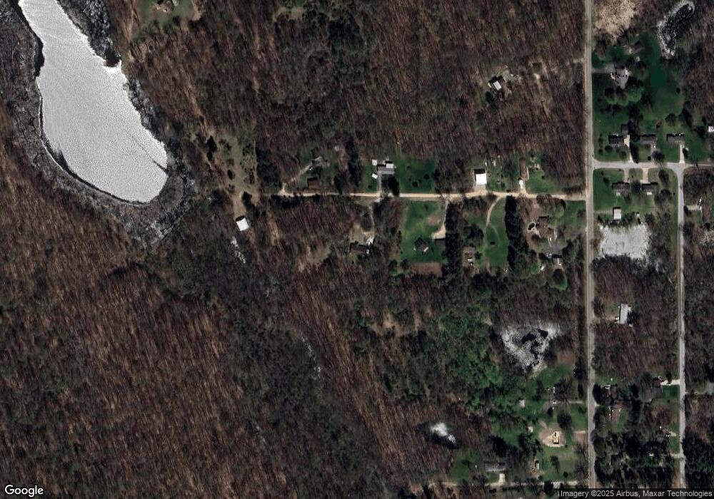
Map
Nearby Homes
- 1969 Campground Rd
- 2101 Maple Ln
- 236 W Nelson St
- 641 W Quimby Rd
- 932 Redwood Dr
- 331 W South St
- 1002 S Broadway St
- 916 Wintergreen Dr
- 1634 Lavender Dr
- 1325 S Montgomery St
- 1859 Jester Dr
- 821 S Michigan Ave
- 720 W Bond St
- 720 S Jefferson St Unit 722
- 610 S Park St
- 0 Michigan 79 Unit 25022518
- V/L Michigan 79
- 736 W Grand St
- 838 S Dibble St
- 413 E Madison St
- 2070 Root Rd
- 2080 S Broadway Rd
- 2090 S Broadway Rd
- 2060 S Broadway Rd
- 2020 S Broadway Rd
- 2020 S Broadway Rd
- 2110 S Broadway Rd
- 52 Root Rd
- 52 Root Rd
- 2114 S Broadway Rd
- 2114 S Broadway Rd
- 2060 S Broadway St
- 1998 S Broadway Rd
- 2204 S Broadway Rd
- 2212 S Broadway Rd
- 2208 S Broadway Rd
- 100 Sherwood Dr
- 97 Sherwood Dr
- 2137 S Broadway Rd
- 2201 S Broadway Rd