155 Stone Ridge Rd Unit 155 Franklin, MA 02038
Estimated Value: $430,000 - $479,000
2
Beds
3
Baths
1,333
Sq Ft
$345/Sq Ft
Est. Value
About This Home
This home is located at 155 Stone Ridge Rd Unit 155, Franklin, MA 02038 and is currently estimated at $459,316, approximately $344 per square foot. 155 Stone Ridge Rd Unit 155 is a home located in Norfolk County with nearby schools including Oak Street Elementary School, Horace Mann Middle School, and Franklin High School.
Ownership History
Date
Name
Owned For
Owner Type
Purchase Details
Closed on
Jan 19, 2016
Sold by
Hsbc Bank Usa Na
Bought by
Leone Donato L and Leone Valerie A
Current Estimated Value
Purchase Details
Closed on
Oct 6, 2015
Sold by
Altman Kathleen E
Bought by
Hsbc Bank Usa Na
Purchase Details
Closed on
Aug 20, 1997
Sold by
White Kathleen A
Bought by
Altman Kathleen E
Purchase Details
Closed on
Aug 31, 1990
Sold by
Card James A
Bought by
White Kathleen A
Purchase Details
Closed on
Nov 15, 1988
Sold by
Alperin Thomas M
Bought by
Card James A
Create a Home Valuation Report for This Property
The Home Valuation Report is an in-depth analysis detailing your home's value as well as a comparison with similar homes in the area
Home Values in the Area
Average Home Value in this Area
Purchase History
| Date | Buyer | Sale Price | Title Company |
|---|---|---|---|
| Leone Donato L | $216,000 | -- | |
| Hsbc Bank Usa Na | $266,000 | -- | |
| Altman Kathleen E | $127,500 | -- | |
| White Kathleen A | $137,000 | -- | |
| Card James A | $155,879 | -- |
Source: Public Records
Mortgage History
| Date | Status | Borrower | Loan Amount |
|---|---|---|---|
| Previous Owner | Card James A | $165,000 | |
| Previous Owner | Card James A | $133,450 | |
| Previous Owner | Card James A | $119,000 |
Source: Public Records
Tax History Compared to Growth
Tax History
| Year | Tax Paid | Tax Assessment Tax Assessment Total Assessment is a certain percentage of the fair market value that is determined by local assessors to be the total taxable value of land and additions on the property. | Land | Improvement |
|---|---|---|---|---|
| 2025 | $4,878 | $419,800 | $0 | $419,800 |
| 2024 | $4,461 | $378,400 | $0 | $378,400 |
| 2023 | $4,282 | $340,400 | $0 | $340,400 |
| 2022 | $4,170 | $296,800 | $0 | $296,800 |
| 2021 | $3,973 | $271,200 | $0 | $271,200 |
| 2020 | $3,868 | $266,600 | $0 | $266,600 |
| 2019 | $3,835 | $261,600 | $0 | $261,600 |
| 2018 | $3,709 | $253,200 | $0 | $253,200 |
| 2017 | $3,350 | $229,800 | $0 | $229,800 |
| 2016 | $3,493 | $240,900 | $0 | $240,900 |
| 2015 | $3,563 | $240,100 | $0 | $240,100 |
| 2014 | $3,202 | $221,600 | $0 | $221,600 |
Source: Public Records
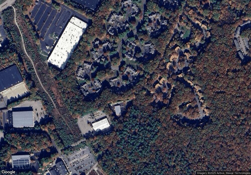
Map
Nearby Homes
- 151 Stone Ridge Rd
- 109 Stone Ridge Rd Unit 109
- 16 Danforth Way
- 33 Stone Ridge Rd Unit 33
- 605 Franklin Crossing Rd
- 214 Conlyn Ave
- 1805 Franklin Crossing Rd
- 2211 Franklin Crossing Rd Unit 2211
- 159 Highwood Dr
- 31 Highwood Dr
- 57 Raymond St Unit 2
- 97 Fisher St
- 66 Highwood Dr
- 6 Buena Vista Dr
- 208 Irondequoit Rd
- 1501 Old Bridge Ln Unit 1501
- 246 Washington St
- 1303 Old Bridge Ln Unit 1303
- 1 Joy St
- 374-378 Union St
- 152 Stone Ridge Rd
- 153 Stone Ridge Rd
- 154 Stone Ridge Rd
- 155 Stone Ridge Rd
- 153 Stone Ridge Rd Unit 153,153
- 148 Stone Ridge Rd
- 149 Stone Ridge Rd
- 150 Stone Ridge Rd
- 149 Stone Ridge Rd Unit 149
- 156 Stone Ridge Rd
- 157 Stone Ridge Rd
- 158 Stone Ridge Rd
- 159 Stone Ridge Rd
- 157 Stone Ridge Rd Unit 157
- 33 Forge Hill Rd
- 33 Forge Hill Rd Unit 2
- 33 Forge Hill Rd Unit 1
- 33 Forge Hill Rd Unit 4
- 144 Stone Ridge Rd
- 145 Stone Ridge Rd