15528 SE Tong Rd Damascus, OR 97089
Estimated Value: $433,789 - $565,000
3
Beds
1
Bath
1,252
Sq Ft
$411/Sq Ft
Est. Value
About This Home
This home is located at 15528 SE Tong Rd, Damascus, OR 97089 and is currently estimated at $514,947, approximately $411 per square foot. 15528 SE Tong Rd is a home located in Clackamas County with nearby schools including Deep Creek - Damascus K-8 School, Sam Barlow High School, and Damascus Christian School.
Ownership History
Date
Name
Owned For
Owner Type
Purchase Details
Closed on
Feb 4, 2005
Sold by
Williams Frederick H and Williams Jack Leslie
Bought by
Heacock Daryl and Heacock Rebecca
Current Estimated Value
Home Financials for this Owner
Home Financials are based on the most recent Mortgage that was taken out on this home.
Original Mortgage
$144,000
Outstanding Balance
$72,222
Interest Rate
5.65%
Mortgage Type
Purchase Money Mortgage
Estimated Equity
$442,725
Create a Home Valuation Report for This Property
The Home Valuation Report is an in-depth analysis detailing your home's value as well as a comparison with similar homes in the area
Home Values in the Area
Average Home Value in this Area
Purchase History
| Date | Buyer | Sale Price | Title Company |
|---|---|---|---|
| Heacock Daryl | $60,000 | -- |
Source: Public Records
Mortgage History
| Date | Status | Borrower | Loan Amount |
|---|---|---|---|
| Open | Heacock Daryl | $144,000 |
Source: Public Records
Tax History Compared to Growth
Tax History
| Year | Tax Paid | Tax Assessment Tax Assessment Total Assessment is a certain percentage of the fair market value that is determined by local assessors to be the total taxable value of land and additions on the property. | Land | Improvement |
|---|---|---|---|---|
| 2025 | $2,340 | $145,719 | -- | -- |
| 2024 | $2,235 | $141,475 | -- | -- |
| 2023 | $2,235 | $137,355 | $0 | $0 |
| 2022 | $2,051 | $133,355 | $0 | $0 |
| 2021 | $1,986 | $129,471 | $0 | $0 |
| 2020 | $1,930 | $125,700 | $0 | $0 |
| 2019 | $1,884 | $122,039 | $0 | $0 |
| 2018 | $1,790 | $118,484 | $0 | $0 |
| 2017 | $1,717 | $115,033 | $0 | $0 |
| 2016 | $1,458 | $111,683 | $0 | $0 |
| 2015 | $1,661 | $108,430 | $0 | $0 |
| 2014 | $1,621 | $105,272 | $0 | $0 |
Source: Public Records
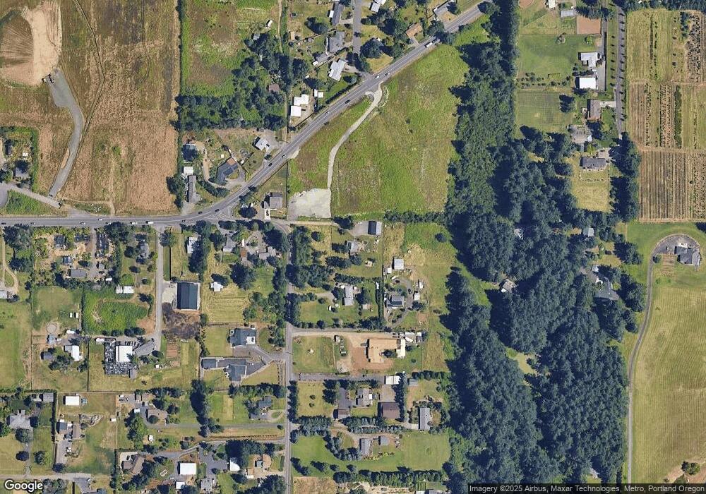
Map
Nearby Homes
- 18680 SE Highway 212
- 0 SE Armstrong Cir
- 18027 SE Emi St
- 14543 SE West Park Ct
- 14548 SE 172nd Ave
- 14790 SE 172nd Ave
- 17156 SE Macanudo St
- 17063 SE Macanudo St
- 14120 SE Brent Ave
- 15566 SE Melinda Ct
- 15556 SE Gladys Rose Way
- 16911 SE Siri Ct
- 13633 SE 178th Ave
- 16381 SE Deer Meadow Loop
- 16566 SE Deer Meadow Loop
- 20320 SE Walgren Rd
- 15400 SE Barlow Ct
- 15786 SE Jansik Ct
- 16400 SE Highway 224
- 16300 SE Highway 224 Unit 8
- 15610 SE Tong Rd
- 15630 SE Tong Rd
- 15672 SE Tong Rd
- 15500 SE Tong Rd
- 15491 SE Tong Rd
- 18444 SE Highway 212
- 18171 SE Highway 212
- 18151 SE Highway 212
- 18225 SE Highway 212
- 15711 SE Tong Rd
- 15970 SE Keller Rd
- 18050 SE Highway 212
- 18051 SE Highway 212
- 15840 SE Tong Rd
- 15743 SE Tong Rd
- 15781 SE Tong Rd
- 15241 SE Wy Ave E
- 18183 SE Highway 212
- 15241 SE Wy East Ave
- 15820 SE Tong Rd