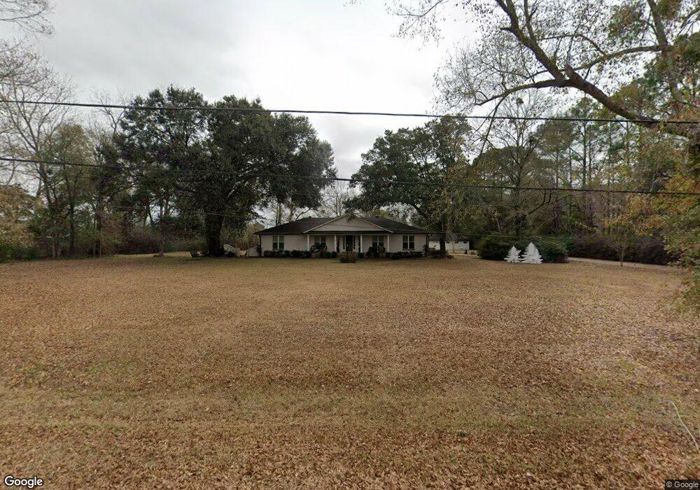
1555 Dawes Rd Mobile, AL 36695
Yorkwood NeighborhoodEstimated Value: $336,910 - $377,000
4
Beds
2
Baths
2,400
Sq Ft
$146/Sq Ft
Est. Value
About This Home
This home is located at 1555 Dawes Rd, Mobile, AL 36695 and is currently estimated at $350,478, approximately $146 per square foot. 1555 Dawes Rd is a home located in Mobile County with nearby schools including O'rourke Elementary School, Bernice J Causey Middle School, and Baker High School.
Ownership History
Date
Name
Owned For
Owner Type
Purchase Details
Closed on
May 31, 2017
Sold by
Vinson Charlotte and Mott Chrlotte V
Bought by
Gilbert John and Gilbert Lori R
Current Estimated Value
Home Financials for this Owner
Home Financials are based on the most recent Mortgage that was taken out on this home.
Original Mortgage
$202,800
Outstanding Balance
$168,456
Interest Rate
3.97%
Mortgage Type
New Conventional
Estimated Equity
$182,022
Purchase Details
Closed on
Nov 9, 1999
Sold by
Bell Charles L
Bought by
Vinson Charlotte
Create a Home Valuation Report for This Property
The Home Valuation Report is an in-depth analysis detailing your home's value as well as a comparison with similar homes in the area
Home Values in the Area
Average Home Value in this Area
Purchase History
| Date | Buyer | Sale Price | Title Company |
|---|---|---|---|
| Gilbert John | $213,500 | Sterling Land Title Agency | |
| Vinson Charlotte | -- | -- |
Source: Public Records
Mortgage History
| Date | Status | Borrower | Loan Amount |
|---|---|---|---|
| Open | Gilbert John | $202,800 |
Source: Public Records
Tax History Compared to Growth
Tax History
| Year | Tax Paid | Tax Assessment Tax Assessment Total Assessment is a certain percentage of the fair market value that is determined by local assessors to be the total taxable value of land and additions on the property. | Land | Improvement |
|---|---|---|---|---|
| 2024 | $1,477 | $30,340 | $5,250 | $25,090 |
| 2023 | $1,415 | $20,010 | $3,300 | $16,710 |
| 2022 | $921 | $20,360 | $3,300 | $17,060 |
| 2021 | $933 | $20,600 | $3,300 | $17,300 |
| 2020 | $968 | $21,330 | $3,300 | $18,030 |
| 2019 | $966 | $21,290 | $3,600 | $17,690 |
| 2018 | $973 | $21,440 | $0 | $0 |
| 2017 | $1,716 | $35,380 | $0 | $0 |
| 2016 | $1,753 | $36,140 | $0 | $0 |
| 2013 | $1,568 | $31,640 | $0 | $0 |
Source: Public Records
Map
Nearby Homes
- 1645 Dawes Rd
- 8391 Jeff Hamilton Road Extension
- 8391 Jeff Hamilton Road Extension
- 1763 Harrington Way
- 1519 Vassar Ct
- 1720 Leroy Stevens Rd
- 1839 Kendall Ct
- 1675 Stonebridge Ct
- 8545 Brandy Oak Ct
- 0 Twelve Oaks Dr Unit 7603591
- 2006 E Clarke Rd
- 8391 Jeptha Ct
- 8090 Suzanne Way
- 1350 Schillinger Rd S
- 8050 Saint Jude Cir N
- 8712 Fangorn Rd
- 0 Oxbridge Way Unit 7471868
- 0 Oxbridge Way Unit 7471878
- 0 Oxbridge Way Unit 7 369320
- 0 Oxbridge Way Unit 6 369321
- 1596 McKinnell Rd
- 1580 McKinnell Rd
- 1601 Dawes Rd
- 1601 Dawes Rd
- 1550 McKinnell Rd
- 1535 Dawes Rd
- 1540 McKinnell Rd
- 1580 Dawes Rd
- 1510 Dawes Rd
- 1521 Dawes Rd
- 1520 Dawes Rd
- 1575 McKinnell Rd
- 1600 Dawes Rd
- 8510 Jeff Hamilton Road Extension
- 1475 McKinnell Rd
- 0 Jeff Hamilton Road Extension
- 1505 Dawes Rd
- 8429 Oak Pointe Ct
- 8439 Oak Pointe Ct
- 8423 Oak Pointe Ct