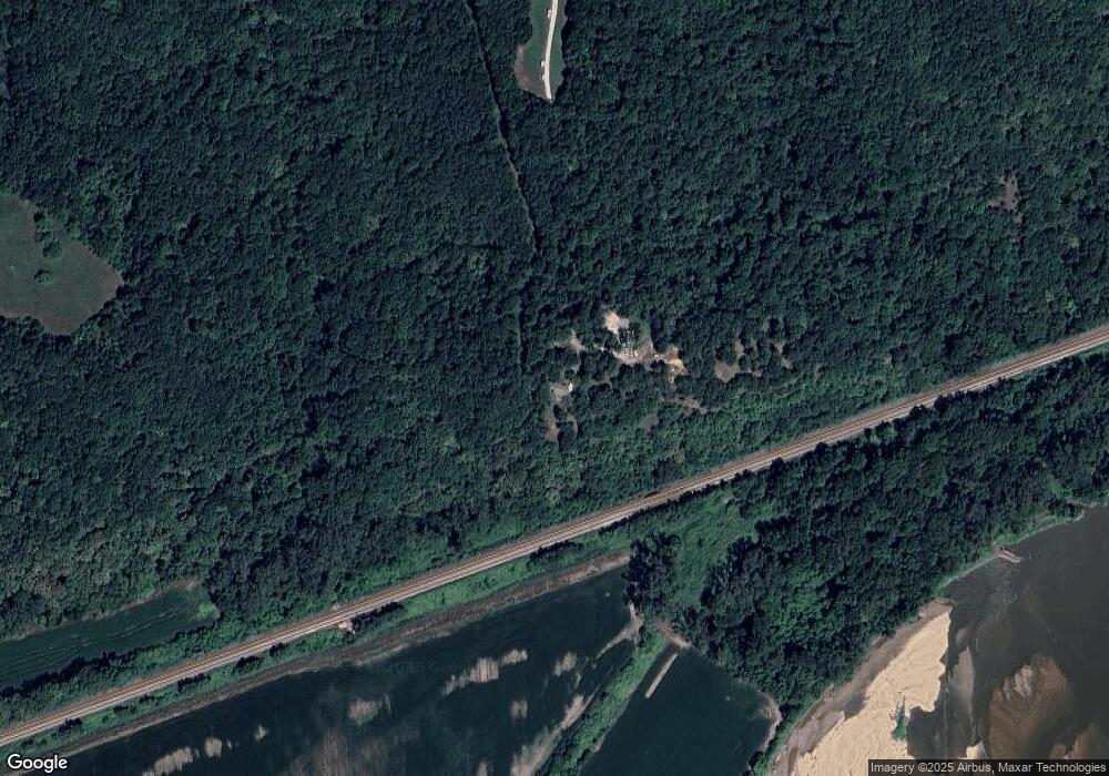
15563 Loring Rd Bonner Springs, KS 66012
Estimated Value: $557,000 - $622,192
3
Beds
4
Baths
2,550
Sq Ft
$231/Sq Ft
Est. Value
About This Home
This home is located at 15563 Loring Rd, Bonner Springs, KS 66012 and is currently estimated at $588,798, approximately $230 per square foot. 15563 Loring Rd is a home located in Leavenworth County with nearby schools including Linwood Elementary School, Basehor-Linwood Middle School, and Basehor-Linwood High School.
Ownership History
Date
Name
Owned For
Owner Type
Purchase Details
Closed on
Jun 1, 2002
Bought by
Hunt Dennis P and Hunt Jennifer J
Current Estimated Value
Home Financials for this Owner
Home Financials are based on the most recent Mortgage that was taken out on this home.
Original Mortgage
$74,000
Interest Rate
6.22%
Mortgage Type
New Conventional
Create a Home Valuation Report for This Property
The Home Valuation Report is an in-depth analysis detailing your home's value as well as a comparison with similar homes in the area
Home Values in the Area
Average Home Value in this Area
Purchase History
| Date | Buyer | Sale Price | Title Company |
|---|---|---|---|
| Hunt Dennis P | $265,000 | -- |
Source: Public Records
Mortgage History
| Date | Status | Borrower | Loan Amount |
|---|---|---|---|
| Closed | Hunt Dennis P | $74,000 |
Source: Public Records
Tax History Compared to Growth
Tax History
| Year | Tax Paid | Tax Assessment Tax Assessment Total Assessment is a certain percentage of the fair market value that is determined by local assessors to be the total taxable value of land and additions on the property. | Land | Improvement |
|---|---|---|---|---|
| 2025 | $6,593 | $60,244 | $15,672 | $44,572 |
| 2024 | $6,290 | $57,927 | $14,144 | $43,783 |
| 2023 | $6,290 | $58,236 | $13,315 | $44,921 |
| 2022 | $5,734 | $50,910 | $11,363 | $39,547 |
| 2021 | $5,073 | $45,321 | $9,638 | $35,683 |
| 2020 | $4,793 | $41,883 | $9,008 | $32,875 |
| 2019 | $4,635 | $40,260 | $8,433 | $31,827 |
| 2018 | $4,110 | $35,711 | $7,283 | $28,428 |
| 2017 | $3,766 | $32,703 | $7,079 | $25,624 |
| 2016 | $3,612 | $31,280 | $6,978 | $24,302 |
| 2015 | -- | $31,280 | $6,664 | $24,616 |
| 2014 | -- | $29,773 | $6,664 | $23,109 |
Source: Public Records
Map
Nearby Homes
- 15514 Loring Rd
- 13525 N 158th St
- 30720 W 83rd St
- 30740 W 83rd St
- 8350 Waverly Rd
- 8572 Valley Spring Dr
- 31714 W 83rd Place
- 8355 Kill Creek Rd
- 8250 Ravenswood Ln
- 31404 W 85th Terrace
- The Cottonwood I Plan at Arbor Ridge
- The Birchwood Plan at Arbor Ridge
- The Birchwood II Plan at Arbor Ridge
- The Antigua Plan at Arbor Ridge
- The Hawthorne V Plan at Arbor Ridge
- The Monterrey I Plan at Arbor Ridge
- The Andrew Plan at Arbor Ridge
- The Willow Plan at Arbor Ridge
- The Monterrey II Plan at Arbor Ridge
- The Laurel Plan at Arbor Ridge
- 12548 158th St
- 12340 161st St
- 12952 158th St
- 12966 158th St
- 12988 158th St
- 13062 156th St
- 13020 158th St
- 12421 158th St
- 15251 Loring Rd
- 15381 Loring Rd
- 15343 Loring Rd
- 7500 Corliss Rd
- 13142 158th St
- 15649 Loring Rd
- 13142 158th St
- 13102 158th St
- 14200 Loring Rd
- 13181 156th St
- 0 Loring Rd
- 15695 Loring Rd
