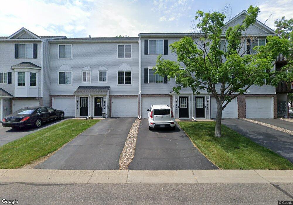
15587 Flight Way Unit 114 Saint Paul, MN 55124
Downtown Apple Valley NeighborhoodEstimated Value: $210,233 - $221,000
2
Beds
2
Baths
926
Sq Ft
$232/Sq Ft
Est. Value
About This Home
This home is located at 15587 Flight Way Unit 114, Saint Paul, MN 55124 and is currently estimated at $215,058, approximately $232 per square foot. 15587 Flight Way Unit 114 is a home located in Dakota County with nearby schools including Parkview Elementary School, Scott Highlands Middle School, and Rosemount Senior High School.
Ownership History
Date
Name
Owned For
Owner Type
Purchase Details
Closed on
Jun 28, 2019
Sold by
Mcmeekin Douglas R and Contreras Lizzet
Bought by
Mavunga Anthony
Current Estimated Value
Home Financials for this Owner
Home Financials are based on the most recent Mortgage that was taken out on this home.
Original Mortgage
$131,000
Interest Rate
3.7%
Mortgage Type
New Conventional
Purchase Details
Closed on
Aug 30, 2001
Sold by
Brunette Joseph H and Buck Diane R
Bought by
Mcmeekin Douglas R
Purchase Details
Closed on
Oct 5, 2000
Sold by
Pulte Homes Of Minnesota Corp
Bought by
Brunette Joseph Harry and Buck Diane Renee
Create a Home Valuation Report for This Property
The Home Valuation Report is an in-depth analysis detailing your home's value as well as a comparison with similar homes in the area
Home Values in the Area
Average Home Value in this Area
Purchase History
| Date | Buyer | Sale Price | Title Company |
|---|---|---|---|
| Mavunga Anthony | $163,751 | Burnet Title | |
| Mcmeekin Douglas R | $126,000 | -- | |
| Brunette Joseph Harry | $93,120 | -- |
Source: Public Records
Mortgage History
| Date | Status | Borrower | Loan Amount |
|---|---|---|---|
| Previous Owner | Mavunga Anthony | $131,000 |
Source: Public Records
Tax History Compared to Growth
Tax History
| Year | Tax Paid | Tax Assessment Tax Assessment Total Assessment is a certain percentage of the fair market value that is determined by local assessors to be the total taxable value of land and additions on the property. | Land | Improvement |
|---|---|---|---|---|
| 2024 | $2,204 | $194,200 | $28,800 | $165,400 |
| 2023 | $2,204 | $194,200 | $28,800 | $165,400 |
| 2022 | $1,908 | $185,600 | $27,500 | $158,100 |
| 2021 | $1,858 | $163,900 | $24,700 | $139,200 |
| 2020 | $1,586 | $156,000 | $23,500 | $132,500 |
| 2019 | $1,323 | $146,100 | $22,000 | $124,100 |
| 2018 | $1,225 | $131,800 | $19,800 | $112,000 |
| 2017 | $1,217 | $119,800 | $18,000 | $101,800 |
| 2016 | $1,106 | $114,400 | $17,200 | $97,200 |
| 2015 | $798 | $77,864 | $11,724 | $66,140 |
| 2014 | -- | $54,756 | $8,239 | $46,517 |
| 2013 | -- | $39,540 | $5,940 | $33,600 |
Source: Public Records
Map
Nearby Homes
- 6524 154th St W Unit 107
- 15681 Flackwood Way
- 15356 Floret Way
- 6406 157th St W
- 15537 Foghorn Ln Unit 45
- 15521 Foghorn Ln
- 15649 Flackwood Way
- 15687 Finewood Ct
- 15749 Fjord Ave Unit 141
- 15312 Flower Way Unit 196
- 15684 Finewood Ct
- 15316 Founders Ln Unit 304
- 15386 Founders Ln Unit 805
- 15263 Florist Cir Unit 26
- 6414 158th St W Unit 201
- 15973 Flotilla Trail Unit 300
- 15767 Finch Ave
- 6760 158th St W
- 6869 Folkestone Rd Unit 614
- 6887 Folkestone Rd Unit 712
- 15587 Flight Way
- 15589 Flight Way Unit 113
- 15589 Flight Way
- 15585 Flight Way Unit 115
- 15585 Flight Way
- 15591 Flight Way
- 15591 Flight Way
- 15583 Flight Way
- 15581 Flight Way
- 15581 Flight Way
- 15593 Flight Way Unit 111
- 15579 Flight Way
- 15579 Flight Way
- 15579 Flight Way
- 15579 Flight Way Unit 118
- 15579 Flight Way Unit 118
- 15577 Flight Way Unit 119
- 15577 Flight Way
- 15577 Flight Way
- 15595 Flight Way