156 Frank Rd Vonore, TN 37885
Estimated Value: $324,707 - $516,000
Studio
2
Baths
1,040
Sq Ft
$407/Sq Ft
Est. Value
About This Home
This home is located at 156 Frank Rd, Vonore, TN 37885 and is currently estimated at $423,177, approximately $406 per square foot. 156 Frank Rd is a home located in Monroe County with nearby schools including Vonore Elementary School, Vonore Middle School, and Sweetwater High School.
Ownership History
Date
Name
Owned For
Owner Type
Purchase Details
Closed on
Feb 26, 2001
Sold by
Harold Moser
Bought by
Rhonda Russell
Current Estimated Value
Purchase Details
Closed on
Jul 31, 1998
Sold by
Hedrick James W
Bought by
Harold Moser
Purchase Details
Closed on
Jul 17, 1995
Bought by
Hedrick James W
Purchase Details
Closed on
Oct 6, 1992
Bought by
Hedrick James W
Purchase Details
Closed on
Nov 20, 1987
Bought by
Hedrick James W and Hedrick Martha
Create a Home Valuation Report for This Property
The Home Valuation Report is an in-depth analysis detailing your home's value as well as a comparison with similar homes in the area
Purchase History
| Date | Buyer | Sale Price | Title Company |
|---|---|---|---|
| Rhonda Russell | $143,000 | -- | |
| Harold Moser | $140,000 | -- | |
| Hedrick James W | $6,000 | -- | |
| Hedrick James W | -- | -- | |
| Hedrick James W | -- | -- |
Source: Public Records
Tax History Compared to Growth
Tax History
| Year | Tax Paid | Tax Assessment Tax Assessment Total Assessment is a certain percentage of the fair market value that is determined by local assessors to be the total taxable value of land and additions on the property. | Land | Improvement |
|---|---|---|---|---|
| 2025 | $1,626 | $106,760 | $30,800 | $75,960 |
| 2024 | $1,629 | $106,960 | $30,800 | $76,160 |
| 2023 | $1,625 | $106,680 | $30,800 | $75,880 |
| 2022 | $1,316 | $58,760 | $20,320 | $38,440 |
| 2021 | $1,316 | $58,760 | $20,320 | $38,440 |
| 2020 | $1,316 | $58,760 | $20,320 | $38,440 |
| 2019 | $1,163 | $58,040 | $20,320 | $37,720 |
| 2018 | $1,163 | $58,760 | $20,320 | $38,440 |
| 2017 | $737 | $35,200 | $12,700 | $22,500 |
| 2016 | $737 | $35,200 | $12,700 | $22,500 |
| 2015 | $739 | $35,275 | $12,700 | $22,575 |
| 2014 | $742 | $35,426 | $0 | $0 |
Source: Public Records
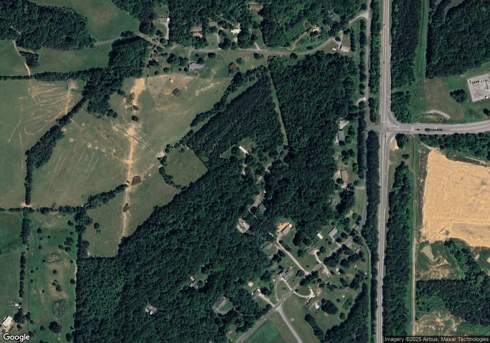
Map
Nearby Homes
- 1735 Highway 411
- 240 Lakeside Meadows Cir
- Belfort Plan at Oak Hill
- Freeport Plan at Oak Hill
- Macon Plan at Oak Hill
- Edmon Plan at Oak Hill
- Belhaven Plan at Oak Hill
- 2143 U S 411
- 88 Red Wing Dr
- 104 Lake Meadows Cir
- L71 Cardinal Way
- L-104 Falcon Tr
- 218 Candi Ln
- 374 Depot St
- 268 Mountain View Dr
- 130 Country Way Rd
- 321 Hendrix Loop
- 116 Deer Path Trail
- 110 Garren Rd
- 176 Mason Rd
- 114 Gun Ridge Rd
- 104 Gun Ridge Rd
- 142 Gun Ridge Rd
- 226 Gun Ridge Rd
- 132 Gun Ridge Rd
- 512 Brakebill Rd
- 228 Gun Ridge Rd
- 139 Frank Rd
- 230 Gun Ridge Rd
- 504 Brakebill Rd
- 143 Gun Ridge Rd
- 513 Brakebill Rd
- 151 Gun Ridge Rd
- 0 Brakebill Rd
- 0 Brakebill Rd
- 234 Gun Ridge Rd
- 551 Brakebill Rd
- 235 Gun Ridge Rd
- 240 Gun Ridge Rd
- 110 Holloway Rd