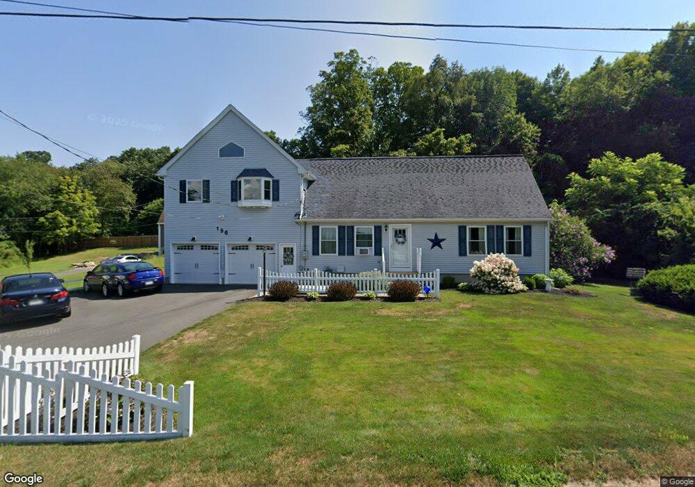
156 Old Amherst Rd Sunderland, MA 01375
Estimated Value: $489,000 - $570,000
3
Beds
3
Baths
2,016
Sq Ft
$262/Sq Ft
Est. Value
About This Home
This home is located at 156 Old Amherst Rd, Sunderland, MA 01375 and is currently estimated at $528,723, approximately $262 per square foot. 156 Old Amherst Rd is a home located in Franklin County with nearby schools including Sunderland Elementary School and Frontier Regional School.
Ownership History
Date
Name
Owned For
Owner Type
Purchase Details
Closed on
Jul 7, 2003
Sold by
Cusson Kathleen A and Cusson Paul E
Bought by
Edwin Brandt R
Current Estimated Value
Purchase Details
Closed on
Dec 29, 1995
Sold by
Powers James C and Powers Linda M
Bought by
Cusson Paul E and Cusson Kathleen A
Purchase Details
Closed on
Oct 5, 1995
Sold by
Commisso Joseph
Bought by
Powers James C and Powers Linda M
Create a Home Valuation Report for This Property
The Home Valuation Report is an in-depth analysis detailing your home's value as well as a comparison with similar homes in the area
Home Values in the Area
Average Home Value in this Area
Purchase History
| Date | Buyer | Sale Price | Title Company |
|---|---|---|---|
| Edwin Brandt R | -- | -- | |
| Cusson Paul E | $126,000 | -- | |
| Powers James C | $32,000 | -- |
Source: Public Records
Mortgage History
| Date | Status | Borrower | Loan Amount |
|---|---|---|---|
| Open | Powers James C | $37,000 | |
| Closed | Powers James C | $50,000 |
Source: Public Records
Tax History Compared to Growth
Tax History
| Year | Tax Paid | Tax Assessment Tax Assessment Total Assessment is a certain percentage of the fair market value that is determined by local assessors to be the total taxable value of land and additions on the property. | Land | Improvement |
|---|---|---|---|---|
| 2025 | $54 | $414,700 | $101,000 | $313,700 |
| 2024 | $5,449 | $414,700 | $101,000 | $313,700 |
| 2023 | $5,012 | $391,600 | $92,400 | $299,200 |
| 2022 | $5,069 | $344,800 | $79,400 | $265,400 |
| 2021 | $4,729 | $305,300 | $72,700 | $232,600 |
| 2020 | $4,235 | $274,300 | $72,700 | $201,600 |
| 2019 | $4,096 | $267,200 | $70,700 | $196,500 |
| 2018 | $3,932 | $262,100 | $66,400 | $195,700 |
| 2017 | $3,766 | $262,600 | $67,800 | $194,800 |
| 2016 | $3,718 | $253,600 | $66,400 | $187,200 |
| 2015 | $3,638 | $254,200 | $66,400 | $187,800 |
| 2014 | $3,554 | $254,200 | $66,400 | $187,800 |
Source: Public Records
Map
Nearby Homes
- 146 Old Amherst Rd
- 110 Old Amherst Rd
- 238 N Main St
- Lot C Mountain Rd
- Lot A Mountain Rd
- Lot B Mountain Rd
- 15 S Plain Rd
- 15 Crestview Dr
- 40 Eastern Ave
- 134 Montague Rd
- 24 Graves St
- 24 Elm St
- 259 Long Plain Rd
- 73 Depot Rd
- 13 Capt Lathrop Dr
- 7 Stage Rd
- 0 Pocumtuck Dr Unit 73379330
- 113 Juggler Meadow Rd
- 32 Swamp Rd
- 55 Putney Rd
- 160 Old Amherst Rd
- 154 Old Amherst Rd
- 0 Rear Plumtree Rd Sunderland Ma Unit G612833
- 150 Old Amherst Rd
- 166 Old Amherst Rd
- 159 Old Amherst Rd
- 170 Old Amherst Rd
- 145 Old Amherst Rd
- 140 Old Amherst Rd
- 141 Old Amherst Rd
- 171 Old Amherst Rd
- 262 N Silver Ln
- 256 N Silver Ln
- 180 Amherst Rd
- 278 N Silver Ln
- 286 N Silver Ln
- 136 Old Amherst Rd
- 135 Old Amherst Rd
- 292 N Silver Ln
- 250 N Silver Ln