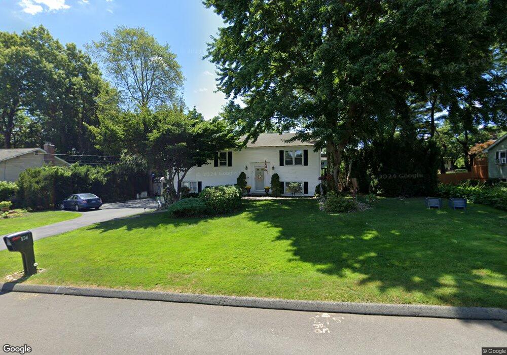
156 Rutledge Rd Wethersfield, CT 06109
Estimated Value: $373,184 - $408,000
3
Beds
3
Baths
1,232
Sq Ft
$317/Sq Ft
Est. Value
About This Home
This home is located at 156 Rutledge Rd, Wethersfield, CT 06109 and is currently estimated at $390,046, approximately $316 per square foot. 156 Rutledge Rd is a home located in Hartford County with nearby schools including Emerson-Williams School, Silas Deane Middle School, and Wethersfield High School.
Ownership History
Date
Name
Owned For
Owner Type
Purchase Details
Closed on
May 23, 2005
Sold by
Kinsella Richard and Kinsella Conchita H
Bought by
Pellegrino Mario and Pellegrino Ann Marie
Current Estimated Value
Home Financials for this Owner
Home Financials are based on the most recent Mortgage that was taken out on this home.
Original Mortgage
$202,000
Interest Rate
7.2%
Purchase Details
Closed on
Apr 3, 1989
Sold by
Liberman Eleanore
Bought by
Kinsella Richard
Create a Home Valuation Report for This Property
The Home Valuation Report is an in-depth analysis detailing your home's value as well as a comparison with similar homes in the area
Home Values in the Area
Average Home Value in this Area
Purchase History
| Date | Buyer | Sale Price | Title Company |
|---|---|---|---|
| Pellegrino Mario | $252,500 | -- | |
| Kinsella Richard | $178,500 | -- |
Source: Public Records
Mortgage History
| Date | Status | Borrower | Loan Amount |
|---|---|---|---|
| Open | Kinsella Richard | $50,000 | |
| Open | Kinsella Richard | $267,750 | |
| Closed | Kinsella Richard | $202,000 | |
| Closed | Kinsella Richard | $50,500 |
Source: Public Records
Tax History
| Year | Tax Paid | Tax Assessment Tax Assessment Total Assessment is a certain percentage of the fair market value that is determined by local assessors to be the total taxable value of land and additions on the property. | Land | Improvement |
|---|---|---|---|---|
| 2025 | $9,192 | $223,010 | $70,690 | $152,320 |
| 2024 | $6,409 | $148,290 | $63,110 | $85,180 |
| 2023 | $6,196 | $148,290 | $63,110 | $85,180 |
| 2022 | $6,092 | $148,290 | $63,110 | $85,180 |
| 2021 | $6,031 | $148,290 | $63,110 | $85,180 |
| 2020 | $6,034 | $148,290 | $63,110 | $85,180 |
| 2019 | $6,041 | $148,290 | $63,110 | $85,180 |
| 2018 | $6,056 | $148,500 | $63,400 | $85,100 |
| 2017 | $5,906 | $148,500 | $63,400 | $85,100 |
| 2016 | $5,723 | $148,500 | $63,400 | $85,100 |
| 2015 | $5,671 | $148,500 | $63,400 | $85,100 |
| 2014 | $5,456 | $148,500 | $63,400 | $85,100 |
Source: Public Records
Map
Nearby Homes
- 295 Ridge Rd Unit 8
- 20 Forest Dr
- 273 Forest Dr
- 173 Timber Trail
- 764 Ridge Rd
- 1 Bristol St
- 129 Goff Rd
- 19 Albert Ave
- 35 Kingston St
- 192 Wolcott Hill Rd
- 158 Dix Rd
- 62 Schoolhouse Crossing
- 39 Schoolhouse Crossing
- 25 Tinsmith Crossing
- 137 Dale Rd
- 455 Brimfield Rd
- 219-221 Jordan Ln
- 23 Hillcrest Ave
- 7 Barrington Dr Unit C
- 87 Somerset St
Your Personal Tour Guide
Ask me questions while you tour the home.