15600 W Sampson Rd Littleton, CO 80127
Deer Creek NeighborhoodEstimated Value: $651,000 - $708,410
3
Beds
2
Baths
1,411
Sq Ft
$487/Sq Ft
Est. Value
About This Home
This home is located at 15600 W Sampson Rd, Littleton, CO 80127 and is currently estimated at $687,353, approximately $487 per square foot. 15600 W Sampson Rd is a home located in Jefferson County with nearby schools including West Jefferson Elementary School, West Jefferson Middle School, and Conifer Senior High School.
Ownership History
Date
Name
Owned For
Owner Type
Purchase Details
Closed on
Jun 13, 2016
Sold by
Lee Michael T and Lee Dagmar A
Bought by
Seitler David and Seitler Melissa
Current Estimated Value
Purchase Details
Closed on
Feb 28, 1997
Sold by
Sheridan John R and Sheridan Barbara J
Bought by
Lee Michael T and Lee Dagmar A
Home Financials for this Owner
Home Financials are based on the most recent Mortgage that was taken out on this home.
Original Mortgage
$59,000
Interest Rate
9%
Mortgage Type
Seller Take Back
Create a Home Valuation Report for This Property
The Home Valuation Report is an in-depth analysis detailing your home's value as well as a comparison with similar homes in the area
Home Values in the Area
Average Home Value in this Area
Purchase History
| Date | Buyer | Sale Price | Title Company |
|---|---|---|---|
| Seitler David | $351,500 | Chicago Title | |
| Lee Michael T | $70,000 | Land Title |
Source: Public Records
Mortgage History
| Date | Status | Borrower | Loan Amount |
|---|---|---|---|
| Previous Owner | Lee Michael T | $59,000 |
Source: Public Records
Tax History Compared to Growth
Tax History
| Year | Tax Paid | Tax Assessment Tax Assessment Total Assessment is a certain percentage of the fair market value that is determined by local assessors to be the total taxable value of land and additions on the property. | Land | Improvement |
|---|---|---|---|---|
| 2024 | $3,766 | $42,037 | $11,540 | $30,497 |
| 2023 | $3,766 | $42,037 | $11,540 | $30,497 |
| 2022 | $3,115 | $34,276 | $10,297 | $23,979 |
| 2021 | $3,141 | $35,262 | $10,593 | $24,669 |
| 2020 | $2,634 | $29,649 | $8,450 | $21,199 |
| 2019 | $2,596 | $29,649 | $8,450 | $21,199 |
| 2018 | $2,308 | $25,541 | $8,577 | $16,964 |
| 2017 | $2,021 | $25,541 | $8,577 | $16,964 |
| 2016 | $2,304 | $27,182 | $8,834 | $18,348 |
| 2015 | $2,011 | $27,182 | $8,834 | $18,348 |
| 2014 | $2,011 | $22,220 | $9,516 | $12,704 |
Source: Public Records
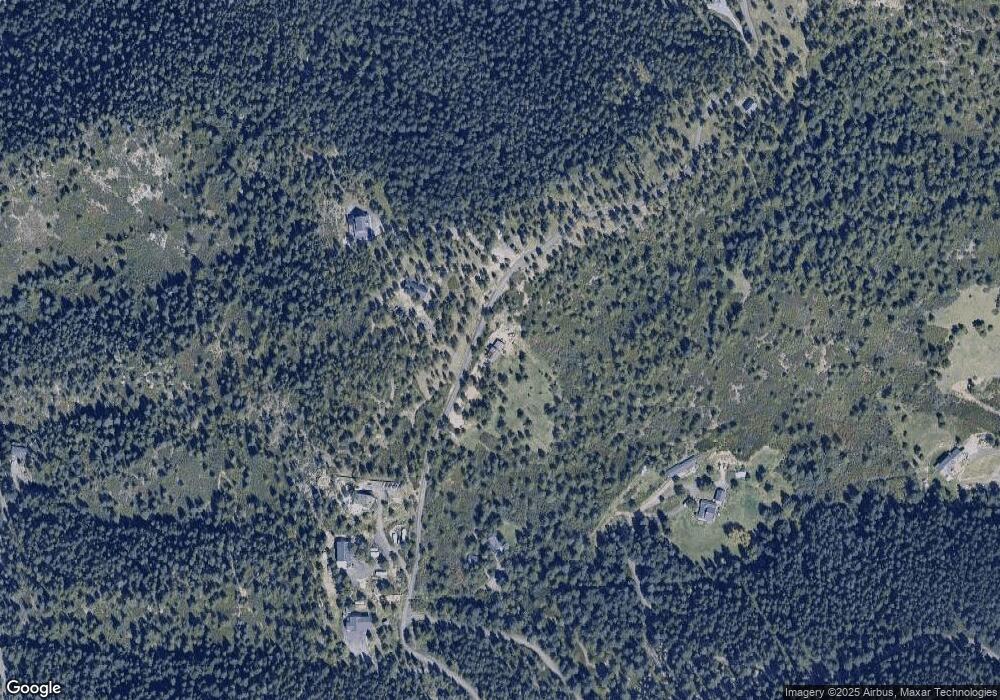
Map
Nearby Homes
- 11220 S Deer Creek Rd
- 10230 S Deer Creek Rd
- 11933 S Maxwell Hill Rd
- 15111 Elk Mountain Trail
- 14900 Elk Mountain Trail
- 11917 Flat Top Trail
- 15450 Elk Mountain Trail
- 10013 S Mckinney Rd
- 17332 N Canyon Rd
- 0 N Canyon Rd
- 9356 Cherrywood Trail
- 10390 Hondah Dr
- 12312 White Deer Dr
- 12947 Lazy Dog Ln
- 8758 S Murphy Gulch Rd
- 12954 Kuehster Rd
- 8529 S Deer Creek Canyon Rd
- 10256 Horizon View Dr
- 10333 Georgia Cir
- 20254 Goins Dr
- 15581 W Sampson Rd
- 11073 Mill Hollow Rd
- 15611 W Sampson Rd
- 11053 Mill Hollow Rd
- 15621 W Sampson Rd
- 0 Mill Hollow Rd
- 15571 W Sampson Rd
- 001 Sampson Rd
- 10803 Mill Hollow Rd
- 15931 W Sampson Rd
- 0 W Sampson Rd Unit 9064379
- 0 W Sampson Rd Unit 6339707
- 15650 W Sampson Rd
- 15661 W Sampson Rd
- 10802 Mill Hollow Rd
- 15551 W Sampson Rd
- 0 Sunburst Dr Unit 719003
- 0 Sunburst Dr Unit 852207
- 0 Sunburst Dr Unit 981332
- 15901 W Sampson Rd