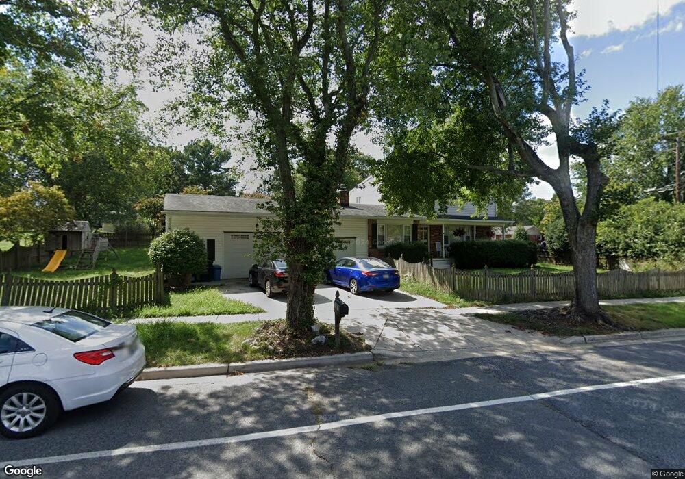
15608 Bounds Ave Laurel, MD 20707
West Laurel NeighborhoodEstimated Value: $547,000 - $651,000
Studio
4
Baths
2,353
Sq Ft
$249/Sq Ft
Est. Value
About This Home
This home is located at 15608 Bounds Ave, Laurel, MD 20707 and is currently estimated at $585,404, approximately $248 per square foot. 15608 Bounds Ave is a home located in Prince George's County with nearby schools including Bond Mill Elementary, Martin Luther King Jr. Middle School, and Laurel High School.
Ownership History
Date
Name
Owned For
Owner Type
Purchase Details
Closed on
Mar 22, 2004
Sold by
Holman Ann E
Bought by
Holman Robert J and Holman Dawn
Current Estimated Value
Purchase Details
Closed on
Jan 9, 2004
Sold by
Holman Ann E
Bought by
Holman Robert J and Holman Dawn
Purchase Details
Closed on
Jul 8, 1999
Sold by
D'Arienzo Raymond V
Bought by
Holman Ann E
Purchase Details
Closed on
Oct 6, 1986
Sold by
Butler Harold D
Bought by
D'Arienzo Raymond and D'Arienzo Melody A
Create a Home Valuation Report for This Property
The Home Valuation Report is an in-depth analysis detailing your home's value as well as a comparison with similar homes in the area
Home Values in the Area
Average Home Value in this Area
Purchase History
| Date | Buyer | Sale Price | Title Company |
|---|---|---|---|
| Holman Robert J | -- | -- | |
| Holman Robert J | -- | -- | |
| Holman Ann E | $186,500 | -- | |
| D'Arienzo Raymond | $129,900 | -- |
Source: Public Records
Tax History
| Year | Tax Paid | Tax Assessment Tax Assessment Total Assessment is a certain percentage of the fair market value that is determined by local assessors to be the total taxable value of land and additions on the property. | Land | Improvement |
|---|---|---|---|---|
| 2025 | $6,120 | $500,900 | $141,300 | $359,600 |
| 2024 | $6,120 | $480,367 | -- | -- |
| 2023 | $5,113 | $459,833 | $0 | $0 |
| 2022 | $5,665 | $439,300 | $101,300 | $338,000 |
| 2021 | $5,449 | $425,700 | $0 | $0 |
| 2020 | $5,354 | $412,100 | $0 | $0 |
| 2019 | $5,230 | $398,500 | $100,600 | $297,900 |
| 2018 | $5,118 | $392,867 | $0 | $0 |
| 2017 | $5,035 | $387,233 | $0 | $0 |
| 2016 | -- | $381,600 | $0 | $0 |
| 2015 | $4,608 | $381,600 | $0 | $0 |
| 2014 | $4,608 | $381,600 | $0 | $0 |
Source: Public Records
Map
Nearby Homes
- 6003 Windham Rd
- 14005 Barkham Ct
- 6201 Goodman Rd
- 6918 Scotch Dr
- 7004 Fitzpatrick Dr
- 7002 Scotch Dr
- 15611 Riding Stable Rd
- 7019 Fitzpatrick Dr
- 16140 Kenny Rd
- 15712 Dorset Rd Unit 104
- 7106 Donston Dr
- 15708 Dorset Rd Unit 202
- 15706 Dorset Rd Unit 102
- 7209 Brooklyn Bridge Rd
- 1012 Flester Ln
- 1016 Flester Ln
- 15603 Dorset Rd Unit 101
- 1027 Overlook Way
- 1023 Flester Ln
- 1106 Overlook Way
- 15627 Bond Mill Rd
- 15610 Bounds Ave
- 15611 Bounds Ave
- 15625 Bond Mill Rd
- 15609 Bounds Ave
- 6418 Sandy St
- 6416 Sandy St
- 15703 Bond Mill Rd
- 15607 Bounds Ave
- 15626 Bond Mill Rd
- 6414 Sandy St
- 15606 Darwin Ct
- 15621 Bond Mill Rd
- 15605 Bounds Ave
- 15702 Bond Mill Rd
- 15602 Bounds Ave
- 15620 Bond Mill Rd
- 6412 Sandy St
- 6415 Sandy St
- 15603 Bounds Ave
Your Personal Tour Guide
Ask me questions while you tour the home.