15610 SE Tong Rd Damascus, OR 97089
Estimated Value: $636,000 - $731,000
4
Beds
2
Baths
1,768
Sq Ft
$380/Sq Ft
Est. Value
About This Home
This home is located at 15610 SE Tong Rd, Damascus, OR 97089 and is currently estimated at $671,330, approximately $379 per square foot. 15610 SE Tong Rd is a home located in Clackamas County with nearby schools including Deep Creek - Damascus K-8 School, Sam Barlow High School, and Damascus Christian School.
Ownership History
Date
Name
Owned For
Owner Type
Purchase Details
Closed on
Sep 3, 2013
Sold by
Rushton Julie A and Rusthon Thomas A
Bought by
Boutwell Noell and Boutwell Shellie
Current Estimated Value
Purchase Details
Closed on
May 9, 2008
Sold by
Rushton Julie A
Bought by
Rushton Julie A and Rushton Thomas A
Purchase Details
Closed on
Jun 23, 1998
Sold by
Perrigo Stephen M
Bought by
Perrigo Julie A
Home Financials for this Owner
Home Financials are based on the most recent Mortgage that was taken out on this home.
Original Mortgage
$122,000
Interest Rate
7.03%
Mortgage Type
Purchase Money Mortgage
Create a Home Valuation Report for This Property
The Home Valuation Report is an in-depth analysis detailing your home's value as well as a comparison with similar homes in the area
Home Values in the Area
Average Home Value in this Area
Purchase History
| Date | Buyer | Sale Price | Title Company |
|---|---|---|---|
| Boutwell Noell | $335,000 | First American | |
| Rushton Julie A | -- | None Available | |
| Perrigo Julie A | $37,000 | First American Title Ins Co |
Source: Public Records
Mortgage History
| Date | Status | Borrower | Loan Amount |
|---|---|---|---|
| Previous Owner | Perrigo Julie A | $122,000 |
Source: Public Records
Tax History Compared to Growth
Tax History
| Year | Tax Paid | Tax Assessment Tax Assessment Total Assessment is a certain percentage of the fair market value that is determined by local assessors to be the total taxable value of land and additions on the property. | Land | Improvement |
|---|---|---|---|---|
| 2025 | $5,469 | $340,532 | -- | -- |
| 2024 | $5,224 | $330,614 | -- | -- |
| 2023 | $5,224 | $320,985 | $0 | $0 |
| 2022 | $4,793 | $311,636 | $0 | $0 |
| 2021 | $4,640 | $302,560 | $0 | $0 |
| 2020 | $4,511 | $293,748 | $0 | $0 |
| 2019 | $4,402 | $285,193 | $0 | $0 |
| 2018 | $4,183 | $276,886 | $0 | $0 |
| 2017 | $4,013 | $268,821 | $0 | $0 |
| 2016 | $4,386 | $260,991 | $0 | $0 |
| 2015 | $3,386 | $221,081 | $0 | $0 |
| 2014 | $3,304 | $214,642 | $0 | $0 |
Source: Public Records
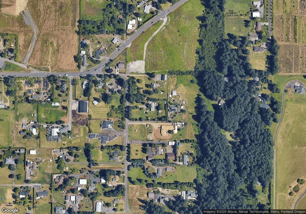
Map
Nearby Homes
- 18680 SE Highway 212
- 0 SE Armstrong Cir
- 18027 SE Emi St
- 14543 SE West Park Ct
- 14548 SE 172nd Ave
- 14790 SE 172nd Ave
- 17156 SE Macanudo St
- 17063 SE Macanudo St
- 14120 SE Brent Ave
- 15566 SE Melinda Ct
- 15556 SE Gladys Rose Way
- 16911 SE Siri Ct
- 13633 SE 178th Ave
- 16381 SE Deer Meadow Loop
- 16566 SE Deer Meadow Loop
- 20320 SE Walgren Rd
- 15400 SE Barlow Ct
- 15786 SE Jansik Ct
- 16400 SE Highway 224
- 16300 SE Highway 224 Unit 8
- 15630 SE Tong Rd
- 15528 SE Tong Rd
- 15672 SE Tong Rd
- 15840 SE Tong Rd
- 15711 SE Tong Rd
- 15491 SE Tong Rd
- 15781 SE Tong Rd
- 15500 SE Tong Rd
- 15743 SE Tong Rd
- 15820 SE Tong Rd
- 15860 SE Tong Rd
- 15970 SE Keller Rd
- 18050 SE Highway 212
- 18444 SE Highway 212
- 18151 SE Highway 212
- 18171 SE Highway 212
- 18051 SE Highway 212
- 15861 SE Tong Rd
- 18225 SE Highway 212
- 15851 SE Tong Rd