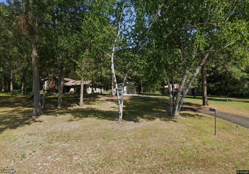
15632 Patterson Rd Brainerd, MN 56401
Estimated Value: $319,000 - $596,000
3
Beds
2
Baths
2,210
Sq Ft
$187/Sq Ft
Est. Value
About This Home
This home is located at 15632 Patterson Rd, Brainerd, MN 56401 and is currently estimated at $413,854, approximately $187 per square foot. 15632 Patterson Rd is a home located in Crow Wing County with nearby schools including Baxter Elementary School, Forestview Middle School, and Brainerd Senior High School.
Ownership History
Date
Name
Owned For
Owner Type
Purchase Details
Closed on
Sep 15, 2021
Sold by
Benjamin Susan Susan
Bought by
Stelck Luella Luella
Current Estimated Value
Home Financials for this Owner
Home Financials are based on the most recent Mortgage that was taken out on this home.
Original Mortgage
$240,000
Outstanding Balance
$218,640
Interest Rate
2.88%
Estimated Equity
$195,214
Create a Home Valuation Report for This Property
The Home Valuation Report is an in-depth analysis detailing your home's value as well as a comparison with similar homes in the area
Home Values in the Area
Average Home Value in this Area
Purchase History
| Date | Buyer | Sale Price | Title Company |
|---|---|---|---|
| Stelck Luella Luella | $290,000 | -- |
Source: Public Records
Mortgage History
| Date | Status | Borrower | Loan Amount |
|---|---|---|---|
| Open | Stelck Luella Luella | $240,000 |
Source: Public Records
Tax History
| Year | Tax Paid | Tax Assessment Tax Assessment Total Assessment is a certain percentage of the fair market value that is determined by local assessors to be the total taxable value of land and additions on the property. | Land | Improvement |
|---|---|---|---|---|
| 2025 | $1,992 | $320,700 | $78,500 | $242,200 |
| 2024 | $1,992 | $341,700 | $72,200 | $269,500 |
| 2023 | $1,794 | $341,100 | $69,300 | $271,800 |
| 2022 | $2,014 | $289,400 | $41,800 | $247,600 |
| 2021 | $1,908 | $252,600 | $39,300 | $213,300 |
| 2020 | $1,636 | $229,400 | $38,500 | $190,900 |
| 2019 | $1,514 | $198,200 | $34,600 | $163,600 |
| 2018 | $1,378 | $186,400 | $34,600 | $151,800 |
| 2017 | $1,322 | $162,666 | $38,937 | $123,729 |
| 2016 | $1,348 | $156,900 | $34,300 | $122,600 |
| 2015 | $1,250 | $140,600 | $33,500 | $107,100 |
| 2014 | $601 | $142,300 | $33,600 | $108,700 |
Source: Public Records
Map
Nearby Homes
- L2,B2 Sanctuary Ln
- L10,B2 Sanctuary Ln
- 16550 Sanctuary Ln
- 14936 Welton Rd
- TBD Sanctuary Path
- 3828 Sanctuary Way
- Lot 23 Sanctuary Path
- Lot 26 Sanctuary Path
- Lot 29 Sanctuary Dr
- 16906 Piper Ln
- 16908 Piper Ln
- 16912 Piper Ln
- Lot 15 .58 Acres 164 Tom Lehman Dr
- Lot 7 .60 Acres 1630 Tom Lehman Dr
- Lot 21 .85 Acres 162 Tom Lehman Dr
- Lot 27 1.03 Acres 16 Tom Lehman Dr
- 5394 Clearwater Rd
- 3754 Saint Annes Ct
- 3600 Royal Lytham Ct
- 14691 Lynndale Dr
- 15620 Patterson Rd
- 15696 Patterson Rd
- 15625 Patterson Rd
- 15657 Patterson Rd
- 4891 Patterson Ct
- 15685 Patterson Rd
- 15893 Winterwood Trail
- 15840 Blue Heron Dr
- 4908 Patterson Ct
- 4863 Patterson Ct
- 4900 Patterson Ct
- 15693 Patterson Rd
- 4196 Blue Heron Dr
- 15925 Winterwood Trail
- 15714 Patterson Rd
- 15844 Blue Heron Dr
- 15847 Blue Heron Dr
- 4878 Patterson Ct
- 15721 Patterson Rd
- 15971 Red Sand Cir
Your Personal Tour Guide
Ask me questions while you tour the home.