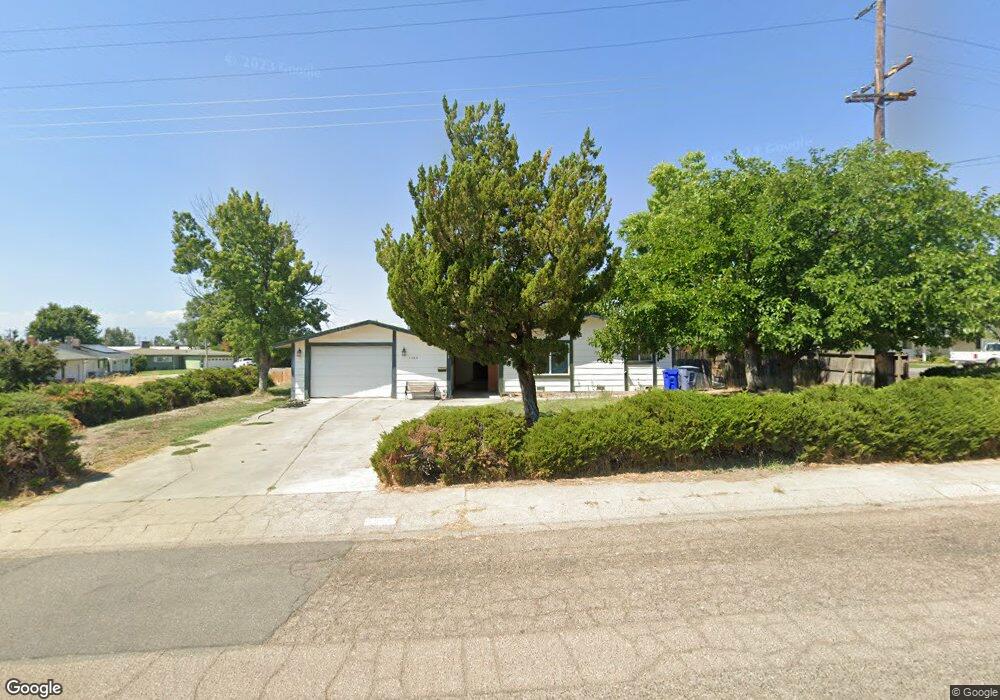
1565 Bulkeley St Red Bluff, CA 96080
Estimated Value: $288,573 - $322,000
3
Beds
3
Baths
1,528
Sq Ft
$200/Sq Ft
Est. Value
About This Home
This home is located at 1565 Bulkeley St, Red Bluff, CA 96080 and is currently estimated at $304,893, approximately $199 per square foot. 1565 Bulkeley St is a home located in Tehama County with nearby schools including Bidwell Elementary School, Vista Preparatory Academy, and Red Bluff High School.
Ownership History
Date
Name
Owned For
Owner Type
Purchase Details
Closed on
Dec 13, 2017
Sold by
Portanier Vincent P
Bought by
Portanier Vincent P and Vincent P Portanier Living Tru
Current Estimated Value
Purchase Details
Closed on
Dec 6, 2005
Sold by
Portanier Vincent P
Bought by
Portanier Vincent P
Purchase Details
Closed on
Apr 29, 2005
Sold by
Moore Earl J and Moore Dora J
Bought by
Portainer Vincent P
Home Financials for this Owner
Home Financials are based on the most recent Mortgage that was taken out on this home.
Original Mortgage
$144,750
Outstanding Balance
$76,200
Interest Rate
5.99%
Mortgage Type
Fannie Mae Freddie Mac
Estimated Equity
$228,693
Create a Home Valuation Report for This Property
The Home Valuation Report is an in-depth analysis detailing your home's value as well as a comparison with similar homes in the area
Purchase History
| Date | Buyer | Sale Price | Title Company |
|---|---|---|---|
| Portanier Vincent P | -- | None Available | |
| Portanier Vincent P | -- | Fidelity National Title | |
| Portainer Vincent P | $238,500 | Fidelity National Title |
Source: Public Records
Mortgage History
| Date | Status | Borrower | Loan Amount |
|---|---|---|---|
| Open | Portainer Vincent P | $144,750 |
Source: Public Records
Tax History
| Year | Tax Paid | Tax Assessment Tax Assessment Total Assessment is a certain percentage of the fair market value that is determined by local assessors to be the total taxable value of land and additions on the property. | Land | Improvement |
|---|---|---|---|---|
| 2025 | $7 | $247,857 | $51,961 | $195,896 |
| 2023 | $72 | $247,857 | $51,961 | $195,896 |
| 2022 | $247 | $247,857 | $51,961 | $195,896 |
| 2021 | $49 | $225,324 | $47,237 | $178,087 |
| 2020 | $63 | $195,934 | $41,076 | $154,858 |
| 2019 | $7 | $186,604 | $39,120 | $147,484 |
| 2018 | $7 | $169,640 | $35,564 | $134,076 |
| 2017 | $7 | $154,218 | $32,331 | $121,887 |
| 2016 | $7 | $146,874 | $30,791 | $116,083 |
| 2015 | -- | $146,874 | $30,791 | $116,083 |
| 2014 | -- | $127,717 | $26,775 | $100,942 |
Source: Public Records
Map
Nearby Homes
- 1710 Luning St
- 1715 Walbridge St
- 1707 Luning St
- 1835 Douglass St
- 1570 Douglass St
- 1500 Walbridge St
- 1356 Park Ave
- 2132 Reta Way
- 1359 2nd St
- 1549 Jackson St
- 1426 Lincoln St
- 0 Ludlow Ave Unit SN25045951
- 0 Derby Unit 24724349
- 1313 Jackson St
- 605 Breckenridge St
- 927 Cedar St
- 685 Larie Ln
- 1158 Madison St
- 675 Larie Ln
- 147 Treasure Dr
- 1920 Birdsong Ave
- 1845 Walbridge St
- 1930 Birdsong Ave
- 1540 Bulkeley St
- 1545 Bulkeley St
- 1915 Birdsong Ave
- 1850 Walbridge St
- 1930 Walbridge St
- 1835 Walbridge St
- 1925 Birdsong Ave
- 1850 Luning St
- 1940 Birdsong Ave
- 1825 Walbridge St
- 1910 Luning St
- 1840 Luning St
- 1950 Birdsong Ave
- 1920 Luning St
- 1935 Birdsong Ave
- 1930 Luning St
- 1945 Birdsong Ave
Your Personal Tour Guide
Ask me questions while you tour the home.