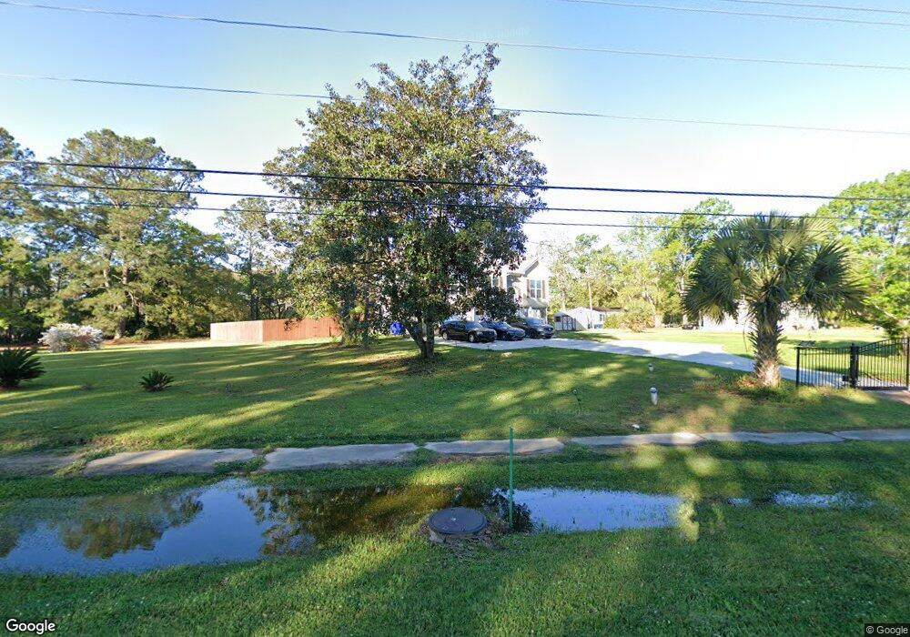
1565 Highway 41 Mount Pleasant, SC 29466
Phillips Community NeighborhoodEstimated Value: $526,000 - $687,000
3
Beds
2
Baths
1,976
Sq Ft
$304/Sq Ft
Est. Value
About This Home
This home is located at 1565 Highway 41, Mount Pleasant, SC 29466 and is currently estimated at $601,420, approximately $304 per square foot. 1565 Highway 41 is a home located in Charleston County with nearby schools including Charles Pinckney Elementary School, Laurel Hill Primary School, and Thomas C. Cario Middle School.
Ownership History
Date
Name
Owned For
Owner Type
Purchase Details
Closed on
Jun 30, 2020
Sold by
Dupree Mary F and Coaxum Mary Frances
Bought by
Dupree John N and Dupree Mary F
Current Estimated Value
Home Financials for this Owner
Home Financials are based on the most recent Mortgage that was taken out on this home.
Original Mortgage
$319,200
Interest Rate
3%
Mortgage Type
Construction
Create a Home Valuation Report for This Property
The Home Valuation Report is an in-depth analysis detailing your home's value as well as a comparison with similar homes in the area
Home Values in the Area
Average Home Value in this Area
Purchase History
| Date | Buyer | Sale Price | Title Company |
|---|---|---|---|
| Dupree John N | -- | Vantage Point Title Inc |
Source: Public Records
Mortgage History
| Date | Status | Borrower | Loan Amount |
|---|---|---|---|
| Closed | Dupree John N | $319,200 |
Source: Public Records
Tax History Compared to Growth
Tax History
| Year | Tax Paid | Tax Assessment Tax Assessment Total Assessment is a certain percentage of the fair market value that is determined by local assessors to be the total taxable value of land and additions on the property. | Land | Improvement |
|---|---|---|---|---|
| 2024 | $1,581 | $14,000 | $0 | $0 |
| 2023 | $1,581 | $14,000 | $0 | $0 |
| 2022 | $1,456 | $14,000 | $0 | $0 |
| 2021 | $558 | $5,000 | $0 | $0 |
| 2020 | $861 | $6,880 | $0 | $0 |
| 2019 | $787 | $5,970 | $0 | $0 |
| 2017 | $768 | $5,970 | $0 | $0 |
| 2016 | $741 | $5,970 | $0 | $0 |
| 2015 | $741 | $5,970 | $0 | $0 |
| 2014 | $638 | $0 | $0 | $0 |
| 2011 | -- | $0 | $0 | $0 |
Source: Public Records
Map
Nearby Homes
- 0 Joe Rouse Rd Unit 20031882
- 1532 Joe Rouse Rd
- 1460 Cardinal Hill Dr N
- 2945 Bobo Rd
- 2805 Wagner Way
- 1550 Moss Spring Rd
- 3028 Caspian Ct
- 1479 Brightwood Dr
- 3061 Caspian Ct
- 2408 Bent Oak Rd
- 2979 Bobo Rd
- 1690 Highway 41
- 2834 Parkers Landing Rd
- 2788 Carolina Isle Dr
- 2772 Latrobe Ct
- 2855 Wagner Way
- 1557 Oakhurst Dr
- Lot 19 Parkers Island Rd
- 2339 Parsonage Woods Ln
- 1597 Rivertowne Country Club Dr
- 1565 Highway 41
- 1555 Highway 41
- 1572 Highway 41
- 1564 Highway 41
- 1587 Highway 41
- 0 Horlbeck Unit 2108611
- 0 Horlbeck Unit 2205257
- 0 Horlbeck Unit 2926766
- 1591 Highway 41
- 1548 Highway 41
- 1569 Joe Rouse Rd
- 0 Highway 41 & Joe Rouse Rd
- 1595 Highway 41
- 1576 Joe Rouse Rd
- 1552 Joe Rouse Rd
- 2 Langur Ct
- 1605 Highway 41
- 2805 Penders Blvd
- 1550 Joe Rouse Rd
- 1548 Joe Rouse Rd