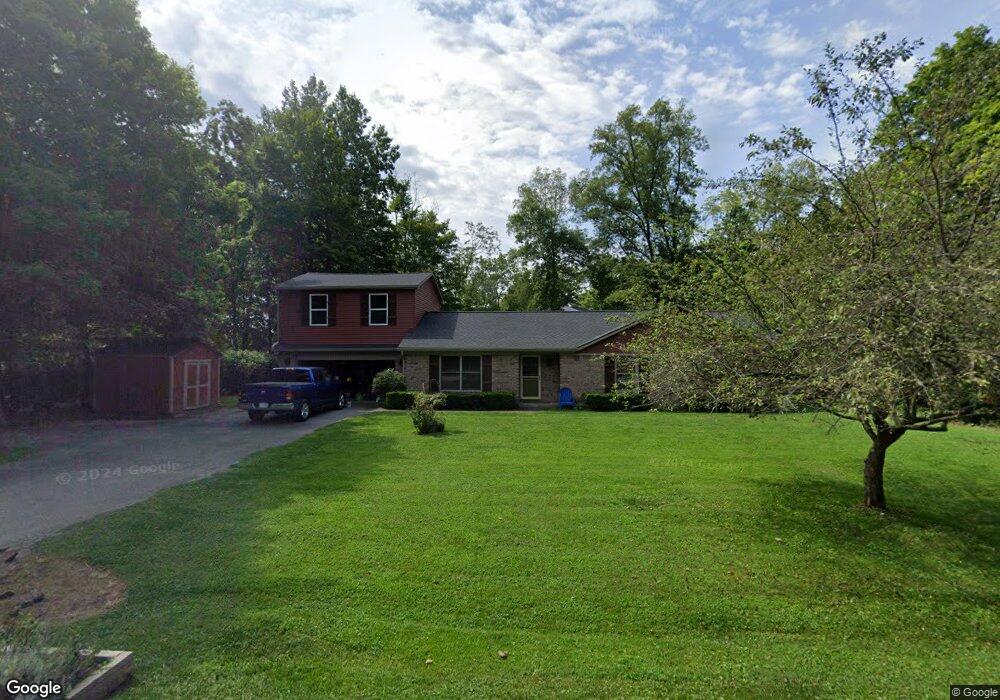
15653 Lin Rd Fortville, IN 46040
Brooks-Luxhaven NeighborhoodEstimated Value: $406,000 - $450,000
3
Beds
2
Baths
1,577
Sq Ft
$269/Sq Ft
Est. Value
About This Home
This home is located at 15653 Lin Rd, Fortville, IN 46040 and is currently estimated at $423,590, approximately $268 per square foot. 15653 Lin Rd is a home located in Hamilton County with nearby schools including Southeastern Elementary School, Hamilton Southeastern Intermediate / Junior High, and Hamilton Southeastern High School.
Ownership History
Date
Name
Owned For
Owner Type
Purchase Details
Closed on
Jan 15, 2001
Sold by
Rhoades Richard R and Rhoades Benedicta M
Bought by
Keerns Jon Michael and Keerns Robin M
Current Estimated Value
Home Financials for this Owner
Home Financials are based on the most recent Mortgage that was taken out on this home.
Original Mortgage
$126,117
Outstanding Balance
$46,668
Interest Rate
7.58%
Mortgage Type
FHA
Estimated Equity
$376,922
Create a Home Valuation Report for This Property
The Home Valuation Report is an in-depth analysis detailing your home's value as well as a comparison with similar homes in the area
Home Values in the Area
Average Home Value in this Area
Purchase History
| Date | Buyer | Sale Price | Title Company |
|---|---|---|---|
| Keerns Jon Michael | -- | -- |
Source: Public Records
Mortgage History
| Date | Status | Borrower | Loan Amount |
|---|---|---|---|
| Open | Keerns Jon Michael | $126,117 |
Source: Public Records
Tax History Compared to Growth
Tax History
| Year | Tax Paid | Tax Assessment Tax Assessment Total Assessment is a certain percentage of the fair market value that is determined by local assessors to be the total taxable value of land and additions on the property. | Land | Improvement |
|---|---|---|---|---|
| 2024 | $2,610 | $307,500 | $28,600 | $278,900 |
| 2023 | $2,610 | $305,000 | $28,600 | $276,400 |
| 2022 | $2,344 | $256,600 | $28,600 | $228,000 |
| 2021 | $2,012 | $221,800 | $28,600 | $193,200 |
| 2020 | $1,679 | $187,900 | $28,600 | $159,300 |
| 2019 | $1,588 | $179,500 | $30,600 | $148,900 |
| 2018 | $1,743 | $183,400 | $30,600 | $152,800 |
| 2017 | $1,736 | $189,500 | $30,600 | $158,900 |
| 2016 | $1,350 | $157,800 | $30,600 | $127,200 |
| 2014 | $1,235 | $158,800 | $30,600 | $128,200 |
| 2013 | $1,235 | $161,900 | $30,600 | $131,300 |
Source: Public Records
Map
Nearby Homes
- 10504 Ruxton Ct
- 10473 Ranford Blvd
- 15628 Provincial Ln
- 10389 Blue Ribbon Blvd
- 10198 Ranford Blvd
- 10166 Ranford Blvd
- The Spiceland Plan at The Lakes at Grantham
- The Wildcat Plan at The Lakes at Grantham
- The Hayward Plan at The Lakes at Grantham
- The Fairbanks Plan at The Lakes at Grantham
- The Paddock Plan at The Lakes at Grantham
- The Carrington Plan at The Lakes at Grantham
- 15303 Ackerley Dr
- 16324 Portage Trail Ln
- 15926 Bellows Ave
- 16338 Portage Trail Ln
- 11420 Gammel Place
- 15914 Bellows Ave
- 14940 Tiago Ln
- 10671 Geist Ridge Ct