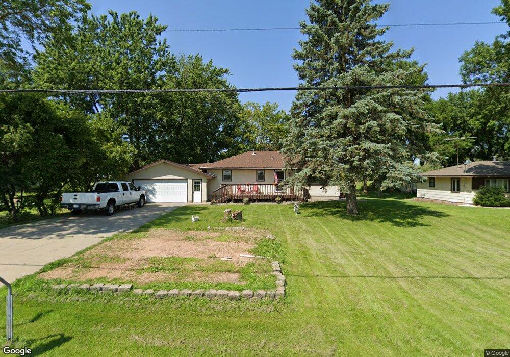
15656 Marystown Rd Shakopee, MN 55379
Estimated Value: $338,000 - $391,000
3
Beds
2
Baths
2,020
Sq Ft
$183/Sq Ft
Est. Value
About This Home
This home is located at 15656 Marystown Rd, Shakopee, MN 55379 and is currently estimated at $369,044, approximately $182 per square foot. 15656 Marystown Rd is a home located in Scott County with nearby schools including Sweeney Elementary School, East Middle School, and Shakopee Senior High School.
Ownership History
Date
Name
Owned For
Owner Type
Purchase Details
Closed on
Feb 18, 2011
Sold by
Wolter Dale D and Wolter Mary E
Bought by
Litzner Eric W and Litzner Jean M
Current Estimated Value
Home Financials for this Owner
Home Financials are based on the most recent Mortgage that was taken out on this home.
Original Mortgage
$174,000
Outstanding Balance
$119,064
Interest Rate
4.78%
Mortgage Type
VA
Estimated Equity
$249,980
Purchase Details
Closed on
May 5, 2004
Sold by
Krautkremer Duane G
Bought by
Wolter Dale D and Wolter Mary E
Create a Home Valuation Report for This Property
The Home Valuation Report is an in-depth analysis detailing your home's value as well as a comparison with similar homes in the area
Home Values in the Area
Average Home Value in this Area
Purchase History
| Date | Buyer | Sale Price | Title Company |
|---|---|---|---|
| Litzner Eric W | $174,000 | -- | |
| Wolter Dale D | $39,000 | -- |
Source: Public Records
Mortgage History
| Date | Status | Borrower | Loan Amount |
|---|---|---|---|
| Open | Litzner Eric W | $174,000 |
Source: Public Records
Tax History Compared to Growth
Tax History
| Year | Tax Paid | Tax Assessment Tax Assessment Total Assessment is a certain percentage of the fair market value that is determined by local assessors to be the total taxable value of land and additions on the property. | Land | Improvement |
|---|---|---|---|---|
| 2025 | $2,516 | $372,400 | $183,300 | $189,100 |
| 2024 | $2,638 | $329,200 | $164,400 | $164,800 |
| 2023 | $2,460 | $329,200 | $164,400 | $164,800 |
| 2022 | $2,280 | $305,700 | $151,700 | $154,000 |
| 2021 | $2,044 | $244,000 | $109,400 | $134,600 |
| 2020 | $2,278 | $246,900 | $115,500 | $131,400 |
| 2019 | $2,316 | $237,000 | $112,100 | $124,900 |
| 2018 | $2,206 | $0 | $0 | $0 |
| 2016 | $2,286 | $0 | $0 | $0 |
Source: Public Records
Map
Nearby Homes
- XXX 160th St
- 265 Mallard Dr
- 1400 170th St W
- 746 Peninsula Point Rd
- 1017 Vista Ridge Ln
- 13950 Marystown Rd
- 981 Peninsula Point Rd
- 14020 Townline Ave
- 13720 Marystown Rd
- 13864 Stonebrooke Curve
- 2657 Aspen Dr
- XXX Bluff Dr
- 1667 Denali Dr
- 1650 Denali Dr
- 13599 Stonebrooke Curve
- 1XX Stonebrooke Curve
- 3XX Stonebrooke Curve
- 1742 Marsh View Terrace
- 1764 Marsh View Terrace
- 1634 Denali Dr
- 15676 Marystown Rd
- 15636 Marystown Rd
- 15616 Marystown Rd
- 15726 Marystown Rd
- 15712 Marystown Rd
- 15600 Marystown Rd
- 15745 Marystown Rd
- 15746 Marystown Rd
- 15575 Marystown Rd
- 15626 Marystown Rd
- 15761 Marystown Rd
- 15716 Marystown Rd
- 15771 Marystown Rd
- 15800 Marystown Rd
- 15841 Marystown Rd
- 15514 Marystown Rd
- 15851 Marystown Rd
- 15850 Marystown Rd
- 15861 Marystown Rd
- 15881 Marystown Rd