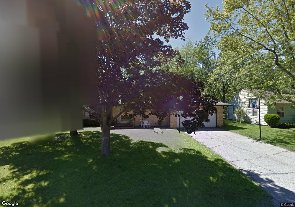
1566 Pearl St Benton Harbor, MI 49022
Fair Plain NeighborhoodEstimated Value: $213,000 - $236,000
3
Beds
1
Bath
1,364
Sq Ft
$165/Sq Ft
Est. Value
About This Home
This home is located at 1566 Pearl St, Benton Harbor, MI 49022 and is currently estimated at $225,144, approximately $165 per square foot. 1566 Pearl St is a home located in Berrien County with nearby schools including Fair Plain Middle School, Benton Harbor High School, and Benton Harbor Charter School Academy.
Ownership History
Date
Name
Owned For
Owner Type
Purchase Details
Closed on
Jan 30, 2002
Current Estimated Value
Purchase Details
Closed on
Jul 22, 1998
Purchase Details
Closed on
Apr 23, 1996
Purchase Details
Closed on
Feb 18, 1991
Purchase Details
Closed on
May 1, 1980
Purchase Details
Closed on
Jul 21, 1978
Create a Home Valuation Report for This Property
The Home Valuation Report is an in-depth analysis detailing your home's value as well as a comparison with similar homes in the area
Home Values in the Area
Average Home Value in this Area
Purchase History
| Date | Buyer | Sale Price | Title Company |
|---|---|---|---|
| -- | -- | -- | |
| -- | $95,000 | -- | |
| -- | $100 | -- | |
| -- | $100 | -- | |
| -- | -- | -- | |
| -- | $29,000 | -- |
Source: Public Records
Tax History Compared to Growth
Tax History
| Year | Tax Paid | Tax Assessment Tax Assessment Total Assessment is a certain percentage of the fair market value that is determined by local assessors to be the total taxable value of land and additions on the property. | Land | Improvement |
|---|---|---|---|---|
| 2025 | $2,986 | $103,800 | $0 | $0 |
| 2024 | $1,162 | $97,200 | $0 | $0 |
| 2023 | $1,107 | $90,200 | $0 | $0 |
| 2022 | $1,054 | $83,300 | $0 | $0 |
| 2021 | $2,664 | $77,300 | $1,700 | $75,600 |
| 2020 | $2,498 | $77,000 | $0 | $0 |
| 2019 | $2,482 | $62,700 | $1,200 | $61,500 |
| 2018 | $2,378 | $62,700 | $0 | $0 |
| 2017 | $2,358 | $61,800 | $0 | $0 |
| 2016 | $2,283 | $60,700 | $0 | $0 |
| 2015 | $2,310 | $62,300 | $0 | $0 |
| 2014 | $894 | $56,200 | $0 | $0 |
Source: Public Records
Map
Nearby Homes
- 1606 Stanley Dr
- 449 E Napier Ave
- 1332 Columbus Ave
- 1762 Smyers Dr
- 1301 Superior St
- 1267 Broadway
- 180 Emery Ave
- 1880 W Ogden Cir
- 1219 Ogden Ave
- 1235 Colfax Ave
- 1591 Union Ave
- 1913 E Ogden Ave
- 1171 Ogden Ave
- 1803 Heath Ct
- 290 Bradford Rd
- 235 Fisk Rd
- 361 E May St
- 1097 Pearl St
- 1337 Agard Ave
- 1142 Bishop Ave