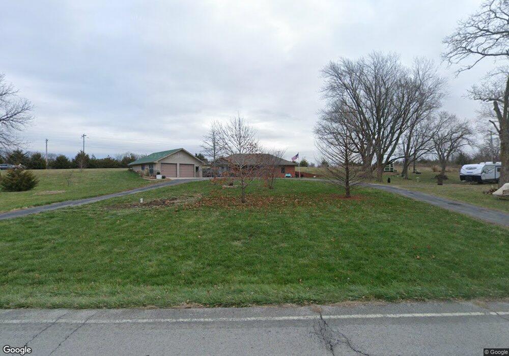
15675 N Winan Rd Platte City, MO 64079
Estimated Value: $364,000 - $426,742
3
Beds
1
Bath
1,600
Sq Ft
$250/Sq Ft
Est. Value
About This Home
This home is located at 15675 N Winan Rd, Platte City, MO 64079 and is currently estimated at $399,686, approximately $249 per square foot. 15675 N Winan Rd is a home located in Platte County with nearby schools including Platte County High School.
Ownership History
Date
Name
Owned For
Owner Type
Purchase Details
Closed on
Feb 29, 2024
Sold by
Mason Shawn
Bought by
Vanlandingham Erin and Mason Shawn
Current Estimated Value
Purchase Details
Closed on
May 9, 2018
Sold by
Schneider Charlotte L and Schneider Joseph D
Bought by
Mason Shawn
Home Financials for this Owner
Home Financials are based on the most recent Mortgage that was taken out on this home.
Original Mortgage
$290,000
Interest Rate
4.4%
Mortgage Type
VA
Create a Home Valuation Report for This Property
The Home Valuation Report is an in-depth analysis detailing your home's value as well as a comparison with similar homes in the area
Home Values in the Area
Average Home Value in this Area
Purchase History
| Date | Buyer | Sale Price | Title Company |
|---|---|---|---|
| Vanlandingham Erin | -- | None Listed On Document | |
| Mason Shawn | -- | Continental Title |
Source: Public Records
Mortgage History
| Date | Status | Borrower | Loan Amount |
|---|---|---|---|
| Previous Owner | Mason Shawn | $290,000 |
Source: Public Records
Tax History Compared to Growth
Tax History
| Year | Tax Paid | Tax Assessment Tax Assessment Total Assessment is a certain percentage of the fair market value that is determined by local assessors to be the total taxable value of land and additions on the property. | Land | Improvement |
|---|---|---|---|---|
| 2024 | $1,945 | $29,239 | $3,011 | $26,228 |
| 2023 | $1,945 | $29,239 | $3,011 | $26,228 |
| 2022 | $1,963 | $29,239 | $3,011 | $26,228 |
| 2021 | $1,968 | $29,239 | $3,011 | $26,228 |
| 2020 | $2,008 | $29,489 | $3,261 | $26,228 |
| 2019 | $2,008 | $29,489 | $3,261 | $26,228 |
| 2018 | $2,024 | $29,489 | $3,261 | $26,228 |
| 2017 | $2,014 | $29,489 | $3,261 | $26,228 |
| 2016 | $1,997 | $29,489 | $3,261 | $26,228 |
| 2015 | $1,997 | $29,489 | $3,261 | $26,228 |
| 2013 | $1,669 | $29,470 | $0 | $0 |
Source: Public Records
Map
Nearby Homes
- 8422 Hoover Rd
- 14660 Cobblestone Dr
- 16695 B Hwy
- 12815 NW 145th St
- 24 Timber Creek Dr
- 5500 W Gale Rd
- 15145 Lakeport Ln
- 13201 NW Interurban Rd
- 17135 Smith Rd
- 2305 Windmill Dr
- 105 Johnson Cir
- 15335 Hh Hwy
- 2705 Mercer Ln
- 2609 Mercer Ln
- 2701 Mercer Ln
- 2709 Mercer Ln
- 2500 Windmill Dr
- 707 Ridge Dr
- Harmony Plan at Windmill Creek
- Hillman Plan at Windmill Creek
- 15605 N Winan Rd
- 15710 N Winan Rd
- 15620 N Amity St
- 15660 N Amity St
- 15720 N Amity St
- 15740 N Amity St
- 15770 N Amity St
- 15820 N Amity St
- 15625 N Amity St
- 15715 N Amity St
- 15785 N Amity St
- 15685 N Amity St
- 15870 N Amity St
- 15880 Interurban Rd
- 15365 N Winan Rd
- 15655 N Amity St
- 15490 Interurban Rd
- 15875 Interurban Rd
- 15845 N Amity St
- 15470 Interurban Rd