1568 N 2000 Rd Lawrence, KS 66044
Estimated Value: $595,389 - $714,000
4
Beds
3
Baths
3,200
Sq Ft
$204/Sq Ft
Est. Value
About This Home
This home is located at 1568 N 2000 Rd, Lawrence, KS 66044 and is currently estimated at $653,130, approximately $204 per square foot. 1568 N 2000 Rd is a home located in Douglas County with nearby schools including Woodlawn Elementary School, Liberty Memorial Central Middle School, and Lawrence Free State High School.
Ownership History
Date
Name
Owned For
Owner Type
Purchase Details
Closed on
Oct 18, 2013
Sold by
Baker Richard A
Bought by
Koch Ryan R and Koch Mary Katherine
Current Estimated Value
Home Financials for this Owner
Home Financials are based on the most recent Mortgage that was taken out on this home.
Original Mortgage
$200,000
Outstanding Balance
$148,991
Interest Rate
4.28%
Mortgage Type
New Conventional
Estimated Equity
$504,139
Purchase Details
Closed on
Dec 11, 2008
Sold by
Baker Stephanie A
Bought by
Baker Richard A
Purchase Details
Closed on
Feb 21, 2006
Sold by
Webb William Jefferson and Webb Rachel Leigh
Bought by
Baker Richard A and Walker Stephanie A
Home Financials for this Owner
Home Financials are based on the most recent Mortgage that was taken out on this home.
Original Mortgage
$319,900
Interest Rate
6.19%
Mortgage Type
Fannie Mae Freddie Mac
Create a Home Valuation Report for This Property
The Home Valuation Report is an in-depth analysis detailing your home's value as well as a comparison with similar homes in the area
Purchase History
| Date | Buyer | Sale Price | Title Company |
|---|---|---|---|
| Koch Ryan R | -- | Capital Title Ins Company Lc | |
| Baker Richard A | -- | None Available | |
| Baker Richard A | -- | Capital Title Ins Co Lc |
Source: Public Records
Mortgage History
| Date | Status | Borrower | Loan Amount |
|---|---|---|---|
| Open | Koch Ryan R | $200,000 | |
| Previous Owner | Baker Richard A | $319,900 |
Source: Public Records
Tax History
| Year | Tax Paid | Tax Assessment Tax Assessment Total Assessment is a certain percentage of the fair market value that is determined by local assessors to be the total taxable value of land and additions on the property. | Land | Improvement |
|---|---|---|---|---|
| 2025 | $6,916 | $59,713 | $8,104 | $51,609 |
| 2024 | $6,826 | $58,712 | $8,104 | $50,608 |
| 2023 | $6,472 | $53,813 | $7,546 | $46,267 |
| 2022 | $6,060 | $50,239 | $6,431 | $43,808 |
| 2021 | $5,290 | $42,541 | $6,431 | $36,110 |
| 2020 | $4,983 | $40,343 | $6,431 | $33,912 |
| 2019 | $4,881 | $39,434 | $5,762 | $33,672 |
| 2018 | $4,395 | $36,571 | $5,650 | $30,921 |
| 2017 | $4,410 | $36,266 | $5,650 | $30,616 |
| 2016 | $3,987 | $34,097 | $7,852 | $26,245 |
| 2015 | $4,009 | $34,097 | $7,852 | $26,245 |
| 2014 | $4,090 | $35,754 | $7,852 | $27,902 |
Source: Public Records
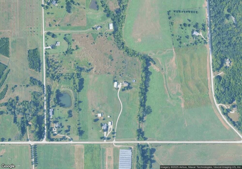
Map
Nearby Homes
- 1885 E 1700 Rd
- 1903 E 1400 Rd
- 0000 Chieftain Rd
- Lot 13 Primrose Ln
- 12706 Ashley Ct
- 25523 Primrose Ln
- 25139 Hemphill Rd
- 724 North St
- 606 North St
- 604 North St
- 1204 Sunchase Dr
- 1425 W Riverside Dr
- 1328 N 1770 Rd
- 1300 Sunchase Dr
- 25293 Dehoff Dr
- 00000 St
- 1951 Wellman Rd
- Lot 2 Linwood Rd
- 40 Acres M/L 246th St
- 255 N Michigan St Unit 77
- Lt 3&4 254th St
- 747 1/ New York St
- Lot 4 243rd & Stillwell Rd
- Land Chieftain Rd
- 254th Stillwell Rd
- 6 Investments St
- 1562 N 2000 Rd
- 2026 E 1550 Rd
- 2022 E 1550 Rd
- 1556 N 2000 Rd
- 2027 E 1600 Rd
- 246th Loring Rd
- 0000 246th Rd Unit 75 acres
- 40 acres 246th St
- 75 acres 246th St
- Lots 1-9 Ethel Ct
- Lot 10 E 19
- Land N 9
- Parcel 5 N 1900 Rd
- Land K32 Hwy & 250 Rd
Your Personal Tour Guide
Ask me questions while you tour the home.