Estimated Value: $637,679 - $694,000
4
Beds
4
Baths
2,495
Sq Ft
$271/Sq Ft
Est. Value
About This Home
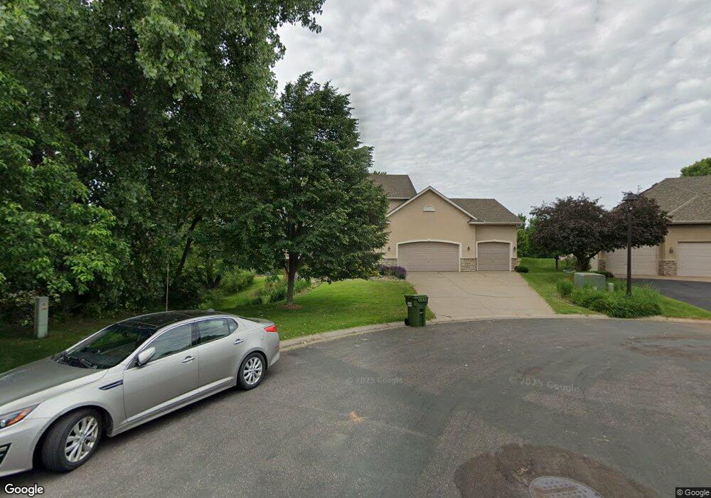
This home is located at 1569 Goldenrod Cir, Hugo, MN 55038 and is currently estimated at $677,170, approximately $271 per square foot. 1569 Goldenrod Cir is a home located in Anoka County with nearby schools including Centerville Elementary School, Centennial Middle School, and Centennial High School.
Ownership History
Date
Name
Owned For
Owner Type
Purchase Details
Closed on
Aug 15, 2019
Sold by
Ganske Garrett E and Ganske Kristina M
Bought by
Bennett Adam and Thao Mai T
Current Estimated Value
Home Financials for this Owner
Home Financials are based on the most recent Mortgage that was taken out on this home.
Original Mortgage
$463,410
Outstanding Balance
$405,862
Interest Rate
3.7%
Mortgage Type
New Conventional
Estimated Equity
$271,308
Purchase Details
Closed on
Jul 1, 2005
Sold by
Homes By J Brown Inc
Bought by
Ganske Garrett E and Lang Kristina M
Create a Home Valuation Report for This Property
The Home Valuation Report is an in-depth analysis detailing your home's value as well as a comparison with similar homes in the area
Home Values in the Area
Average Home Value in this Area
Purchase History
| Date | Buyer | Sale Price | Title Company |
|---|---|---|---|
| Bennett Adam | $514,900 | Burnet Title | |
| Ganske Garrett E | $495,610 | -- |
Source: Public Records
Mortgage History
| Date | Status | Borrower | Loan Amount |
|---|---|---|---|
| Open | Bennett Adam | $463,410 |
Source: Public Records
Tax History Compared to Growth
Tax History
| Year | Tax Paid | Tax Assessment Tax Assessment Total Assessment is a certain percentage of the fair market value that is determined by local assessors to be the total taxable value of land and additions on the property. | Land | Improvement |
|---|---|---|---|---|
| 2025 | $7,881 | $607,800 | $132,000 | $475,800 |
| 2024 | $7,881 | $631,100 | $125,600 | $505,500 |
| 2023 | $7,162 | $626,800 | $128,900 | $497,900 |
| 2022 | $6,674 | $622,800 | $116,200 | $506,600 |
| 2021 | $6,650 | $513,500 | $89,100 | $424,400 |
| 2020 | $6,497 | $500,200 | $99,000 | $401,200 |
| 2019 | $6,515 | $469,800 | $95,600 | $374,200 |
| 2018 | $5,985 | $444,900 | $0 | $0 |
| 2017 | $5,731 | $445,100 | $0 | $0 |
| 2016 | $5,980 | $406,500 | $0 | $0 |
| 2015 | $5,835 | $406,500 | $103,100 | $303,400 |
| 2014 | -- | $368,400 | $100,700 | $267,700 |
Source: Public Records
Map
Nearby Homes
- 6445 Pheasant Hills Dr
- 6391 Centerville Rd
- 1469 Sherman Lake Rd
- 1428 Sherman Lake Rd
- 1351 Hunters Ridge
- 1610 Widgeon Cir
- 6733 Timberwolf Trail
- 1707 Dupre Rd
- 1159 Durango Point
- 1988 Norma Way
- 6246 Otter Lake Rd
- 22 Leaf Wing Dr
- 6484 Killdeer Dr
- 8 Leaf Wing Dr
- 2113 21st Ave S
- 6478 Fox Rd
- 66 Monarch Way
- 6457 Fox Rd
- 2226 Flora Ct
- 907 Fox Rd
- 1575 Goldenrod Cir
- 6481 Pheasant Hills Dr
- 1562 Goldenrod Cir
- 1581 Goldenrod Cir
- 6475 Pheasant Hills Dr
- 6487 Pheasant Hills Dr
- 1556 Goldenrod Cir
- 1550 Goldenrod Cir
- 6493 Pheasant Hills Dr
- 1588 Stoneybrook Dr
- 1582 Stoneybrook Dr
- 1576 Stoneybrook Dr
- 6452 Pheasant Hills Dr
- 6488 Pheasant Hills Dr
- 6451 Pheasant Hills Dr
- 6482 Pheasant Hills Dr
- 1594 Stoneybrook Dr
- 1570 Stoneybrook Dr
- 1600 Stoneybrook Dr
- 6476 Pheasant Hills Dr