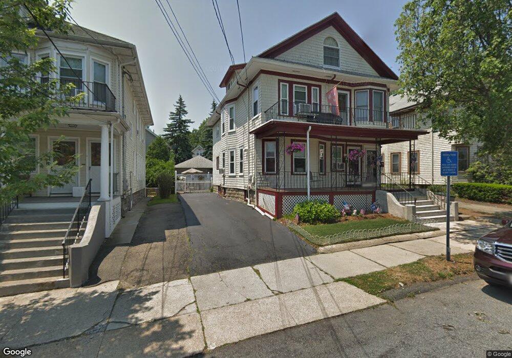
157 Brooks Ave Unit 159 Arlington, MA 02474
East Arlington NeighborhoodEstimated Value: $1,228,000 - $1,330,469
4
Beds
2
Baths
2,200
Sq Ft
$582/Sq Ft
Est. Value
About This Home
This home is located at 157 Brooks Ave Unit 159, Arlington, MA 02474 and is currently estimated at $1,279,367, approximately $581 per square foot. 157 Brooks Ave Unit 159 is a home located in Middlesex County with nearby schools including Hardy Elementary School, Ottoson Middle School, and Arlington High School.
Ownership History
Date
Name
Owned For
Owner Type
Purchase Details
Closed on
Oct 9, 2019
Sold by
James Martin Meehan Ft and Cheever
Bought by
Meehan William P and Meehan Pamela B
Current Estimated Value
Purchase Details
Closed on
Aug 9, 2012
Sold by
Elizabeth M Meehan Ft and Meehan
Bought by
James M Meehan Ft and Meehan
Create a Home Valuation Report for This Property
The Home Valuation Report is an in-depth analysis detailing your home's value as well as a comparison with similar homes in the area
Home Values in the Area
Average Home Value in this Area
Purchase History
| Date | Buyer | Sale Price | Title Company |
|---|---|---|---|
| Meehan William P | -- | -- | |
| James M Meehan Ft | -- | -- |
Source: Public Records
Tax History Compared to Growth
Tax History
| Year | Tax Paid | Tax Assessment Tax Assessment Total Assessment is a certain percentage of the fair market value that is determined by local assessors to be the total taxable value of land and additions on the property. | Land | Improvement |
|---|---|---|---|---|
| 2025 | $11,471 | $1,065,100 | $580,400 | $484,700 |
| 2024 | $10,608 | $1,001,700 | $552,500 | $449,200 |
| 2023 | $10,607 | $946,200 | $463,200 | $483,000 |
| 2022 | $10,565 | $925,100 | $446,400 | $478,700 |
| 2021 | $10,245 | $903,400 | $446,400 | $457,000 |
| 2020 | $9,993 | $903,500 | $446,400 | $457,100 |
| 2019 | $9,982 | $830,800 | $474,300 | $356,500 |
| 2018 | $8,521 | $702,500 | $346,000 | $356,500 |
| 2017 | $7,986 | $635,800 | $301,300 | $334,500 |
| 2016 | $7,567 | $591,200 | $256,700 | $334,500 |
| 2015 | $7,443 | $549,300 | $251,100 | $298,200 |
Source: Public Records
Map
Nearby Homes
- 22 Hamilton Rd Unit 206
- 230 Massachusetts Ave Unit 6
- 18 Belknap St Unit 2
- 18 Belknap St Unit 1
- 215 Massachusetts Ave Unit 19 (34)
- 31 Mott St Unit 31A
- 25-27 Adams St
- 35 Windsor St Unit 1
- 137-139 Thorndike St Unit 2
- 42-44 Warren St Unit 42
- 128 Thorndike St Unit 2
- 41 Palmer St Unit 43
- 77 Warren St Unit A
- 3 Seagrave Rd
- 27 Dartmouth St Unit 29
- 94 Rawson Rd Unit 94
- 23 Yale Rd
- 132 Rawson Rd Unit 132
- 57 Garrison Ave
- 23 Brookford St
- 153 Brooks Ave Unit 155
- 165 Brooks Ave
- 48 Newcomb St Unit 1
- 48 Newcomb St
- 46-48 Newcomb St
- 48 Newcomb St Unit 48
- 46-48 Newcomb St Unit 48
- 46-48 Newcomb St
- 46 Newcomb St Unit 48
- 52 Newcomb St Unit 2
- 52 Newcomb St Unit 52
- 50 Newcomb St Unit 52
- 42 Newcomb St Unit 44
- 42 Newcomb St
- 154 Brooks Ave
- 154 Brooks Ave Unit 154
- 154 Brooks Ave Unit 1
- 156 Brooks Ave
- 56 Newcomb St
- 38 Newcomb St Unit B