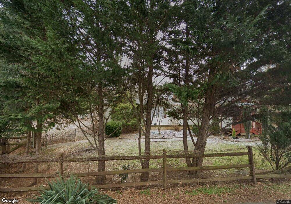
157 Ed Thompson Rd Fort Mill, SC 29715
Springfield NeighborhoodEstimated Value: $182,368 - $414,000
--
Bed
--
Bath
1,608
Sq Ft
$172/Sq Ft
Est. Value
About This Home
This home is located at 157 Ed Thompson Rd, Fort Mill, SC 29715 and is currently estimated at $276,592, approximately $172 per square foot. 157 Ed Thompson Rd is a home with nearby schools including Springfield Elementary School, Nation Ford High School, and Village Montessori and Preparatory School.
Ownership History
Date
Name
Owned For
Owner Type
Purchase Details
Closed on
Oct 13, 2017
Sold by
Randolph June K
Bought by
Mccurry Randall Jackson
Current Estimated Value
Purchase Details
Closed on
Oct 17, 2014
Sold by
Estate Of Carl Jackson Randolph
Bought by
Randolph June K
Purchase Details
Closed on
Nov 16, 2009
Sold by
Thompson Tim M and Thompson Lauri R
Bought by
Delvillar Aurelia
Purchase Details
Closed on
Apr 20, 2001
Sold by
Mcintyre Eugene Deloyce and Mcintyre Martha Leconte Sanford
Bought by
Thompson Tim M and Thompson Lauri R
Create a Home Valuation Report for This Property
The Home Valuation Report is an in-depth analysis detailing your home's value as well as a comparison with similar homes in the area
Home Values in the Area
Average Home Value in this Area
Purchase History
| Date | Buyer | Sale Price | Title Company |
|---|---|---|---|
| Mccurry Randall Jackson | -- | None Available | |
| Randolph June K | -- | -- | |
| Delvillar Aurelia | $98,000 | -- | |
| Thompson Tim M | $68,000 | -- |
Source: Public Records
Tax History Compared to Growth
Tax History
| Year | Tax Paid | Tax Assessment Tax Assessment Total Assessment is a certain percentage of the fair market value that is determined by local assessors to be the total taxable value of land and additions on the property. | Land | Improvement |
|---|---|---|---|---|
| 2025 | $1,862 | $3,636 | $3,276 | $360 |
| 2024 | $1,562 | $3,162 | $2,700 | $462 |
| 2023 | $1,272 | $2,725 | $2,327 | $398 |
| 2022 | $1,175 | $2,725 | $2,327 | $398 |
| 2021 | -- | $2,725 | $2,327 | $398 |
| 2020 | $1,133 | $2,725 | $0 | $0 |
| 2019 | $1,053 | $2,370 | $0 | $0 |
| 2018 | $1,050 | $2,370 | $0 | $0 |
| 2017 | $1,002 | $2,370 | $0 | $0 |
| 2016 | $970 | $2,370 | $0 | $0 |
| 2014 | $675 | $2,370 | $1,800 | $570 |
| 2013 | $675 | $2,670 | $2,100 | $570 |
Source: Public Records
Map
Nearby Homes
- 206 Overstone Ct
- 182 Snead Rd
- 260 Amelia Dr
- 2637 Grantham Place Dr
- 211 Heritage Blvd Unit 402
- Foxmoor Plan at Cottages at Springfield Town Center
- Glenbury Plan at Cottages at Springfield Town Center
- Edgehill Plan at Cottages at Springfield Town Center
- Ivy Plan at Cottages at Springfield Town Center
- Elmhill Plan at Cottages at Springfield Town Center
- Richdale Plan at Cottages at Springfield Town Center
- Greenhill Plan at Cottages at Springfield Town Center
- Windwall Plan at Cottages at Springfield Town Center
- Ashgreen Plan at Cottages at Springfield Town Center
- 952 Hickory Stick Dr
- 251 Olive St
- 247 Olive St
- 616 Hops Aly
- 2812 Huckleberry Hill Dr
- 762 Woburn Abbey Dr
- 188 Forest Dr
- 152 Ed Thompson Rd
- 146 Forest Dr
- 175 Ed Thompson Rd
- 2398 Lonnie Dr
- 102 Amelia Dr
- 191 Forest Dr
- 101 Amelia Dr
- 200 Forest Dr
- 109 Amelia Dr
- 126 Amelia Dr
- 211 Forest Dr
- 141 Forest Dr
- 117 Amelia Dr
- 221 Embassy Dr
- 221 Embassy Dr
- 125 Amelia Dr
- 221 Forest Dr Unit FERN
- 221 Forest Dr
- 131 Forest Dr