Estimated Value: $390,000 - $453,000
2
Beds
2
Baths
1,026
Sq Ft
$399/Sq Ft
Est. Value
About This Home
This home is located at 157 Pondview Rd, Weare, NH 03281 and is currently estimated at $409,187, approximately $398 per square foot. 157 Pondview Rd is a home with nearby schools including Center Woods Elementary School, Weare Middle School, and John Stark Regional High School.
Create a Home Valuation Report for This Property
The Home Valuation Report is an in-depth analysis detailing your home's value as well as a comparison with similar homes in the area
Home Values in the Area
Average Home Value in this Area
Tax History Compared to Growth
Tax History
| Year | Tax Paid | Tax Assessment Tax Assessment Total Assessment is a certain percentage of the fair market value that is determined by local assessors to be the total taxable value of land and additions on the property. | Land | Improvement |
|---|---|---|---|---|
| 2024 | $5,356 | $262,700 | $153,100 | $109,600 |
| 2023 | $4,949 | $262,700 | $153,100 | $109,600 |
| 2022 | $4,571 | $262,700 | $153,100 | $109,600 |
| 2021 | $4,518 | $262,700 | $153,100 | $109,600 |
| 2020 | $5,799 | $201,100 | $128,200 | $72,900 |
| 2019 | $4,735 | $199,700 | $128,200 | $71,500 |
| 2018 | $4,599 | $199,700 | $128,200 | $71,500 |
| 2016 | $4,954 | $199,900 | $128,400 | $71,500 |
| 2015 | $4,439 | $198,100 | $128,900 | $69,200 |
| 2014 | $4,422 | $199,100 | $128,900 | $70,200 |
| 2013 | $4,330 | $199,100 | $128,900 | $70,200 |
Source: Public Records
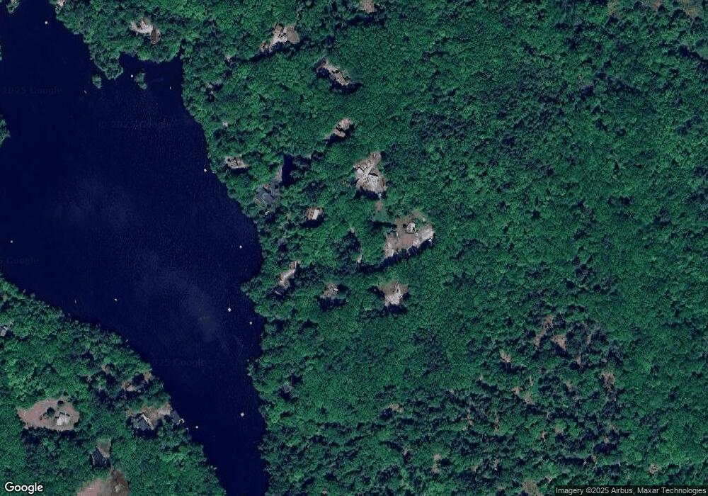
Map
Nearby Homes
- 10 Sap House Rd
- 624 S Stark Hwy
- 196 Deering Center Rd
- 103 Renshaw Rd
- 0 Huntington Hill Rd Unit 69
- 281 Hodgdon Rd
- 849 River Rd
- 194 Buckley Rd Unit 2
- 194 Buckley Rd Unit 44
- 77 Gould Rd
- 179 Oak Hill Rd
- 200 Mountain Rd
- 93 Daniels Rd
- 92 Woodbury Rd
- 30 Dels Way
- 174 S Stark Hwy Unit 13
- 174 S Stark Hwy Unit 1
- 174 S Stark Hwy Unit 23
- 450 Weare Rd
- 256 Middle Branch Rd
- 159 Pondview Rd
- 155 Pondview Rd
- 163 Pondview Rd
- 126 Pondview Rd
- 138 Pondview Rd
- 112 Martin Rd
- 116 Martin Rd
- 114 Pondview Rd
- 120 Martin Rd
- 137 Pondview Rd
- 126 Martin Rd
- 127 Pondview Rd
- 00 Martin Rd
- 112 Pondview Rd
- 116 Pondview Rd
- 130 Martin Rd
- 115 Martin Rd
- 94 Martin Rd
- 127 Martin Rd
- 104 Pond View Rd