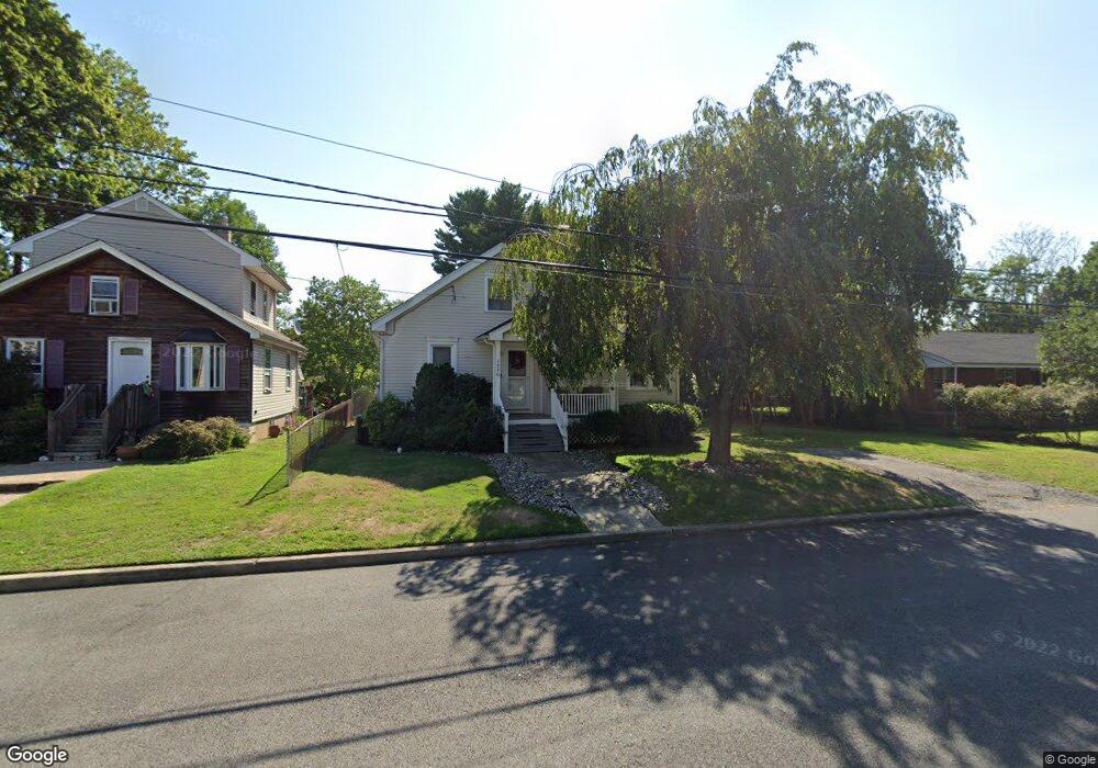
1570 11th St Ewing, NJ 08638
Prospect NeighborhoodEstimated Value: $317,000 - $412,000
Studio
--
Bath
1,246
Sq Ft
$283/Sq Ft
Est. Value
About This Home
This home is located at 1570 11th St, Ewing, NJ 08638 and is currently estimated at $352,056, approximately $282 per square foot. 1570 11th St is a home located in Mercer County with nearby schools including Ewing High School, Paul Robeson Charter School For The Humanities, and Trenton Stem-To-Civics Charter School.
Ownership History
Date
Name
Owned For
Owner Type
Purchase Details
Closed on
Nov 22, 2005
Sold by
Hansbury Robert
Bought by
Ray Lynette
Current Estimated Value
Home Financials for this Owner
Home Financials are based on the most recent Mortgage that was taken out on this home.
Original Mortgage
$221,523
Outstanding Balance
$123,150
Interest Rate
6.28%
Mortgage Type
FHA
Estimated Equity
$228,906
Purchase Details
Closed on
Jan 29, 1998
Sold by
Bentivogli Vivian
Bought by
Hansbury Robert and Hansbury Cherlyn
Create a Home Valuation Report for This Property
The Home Valuation Report is an in-depth analysis detailing your home's value as well as a comparison with similar homes in the area
Home Values in the Area
Average Home Value in this Area
Purchase History
| Date | Buyer | Sale Price | Title Company |
|---|---|---|---|
| Ray Lynette | $225,000 | -- | |
| Hansbury Robert | $91,000 | -- | |
| Hansbury Robert | $91,000 | -- |
Source: Public Records
Mortgage History
| Date | Status | Borrower | Loan Amount |
|---|---|---|---|
| Open | Ray Lynette | $221,523 |
Source: Public Records
Tax History
| Year | Tax Paid | Tax Assessment Tax Assessment Total Assessment is a certain percentage of the fair market value that is determined by local assessors to be the total taxable value of land and additions on the property. | Land | Improvement |
|---|---|---|---|---|
| 2025 | $5,852 | $148,800 | $50,700 | $98,100 |
| 2024 | $5,501 | $148,800 | $50,700 | $98,100 |
Source: Public Records
Map
Nearby Homes
- 1600 13th St
- 2302 Columbia Ave
- 17 Hillman Ave
- 91 Groveland Ave
- 42 Hazelhurst Ave
- 2269 Spruce St
- 341 Stokes Ave
- 43 Iowana Ave
- 0 Dryden Ave
- 4 New Hillcrest Ave
- 1410 Pennington Rd
- 50 Groveland Ave
- 257 Homecrest Ave
- 32 Stoneham Rd
- 137 Ardsley Ave
- 16 Clover Ave
- 41 Poland St
- 7 Mabel St
- 124 Hawthorne Ave
- 21 Clover Ave
- 1572 11th St
- 1568 11th St
- 1576 11th St
- 1569 Prospect St
- 1565 Prospect St
- 1573 Prospect St
- 1580 11th St
- 1575 Prospect St
- 1569 11th St
- 1581 Prospect St
- 1561 Prospect St
- 1561 Prospect St Unit 3
- 1559 11th St
- 1593 Prospect St
- 1573 11th St
- 1559 Prospect St
- 2704 Madison Ave
- 2700 Madison Ave
- 2708 Madison Ave
- 1557 Prospect St
Your Personal Tour Guide
Ask me questions while you tour the home.