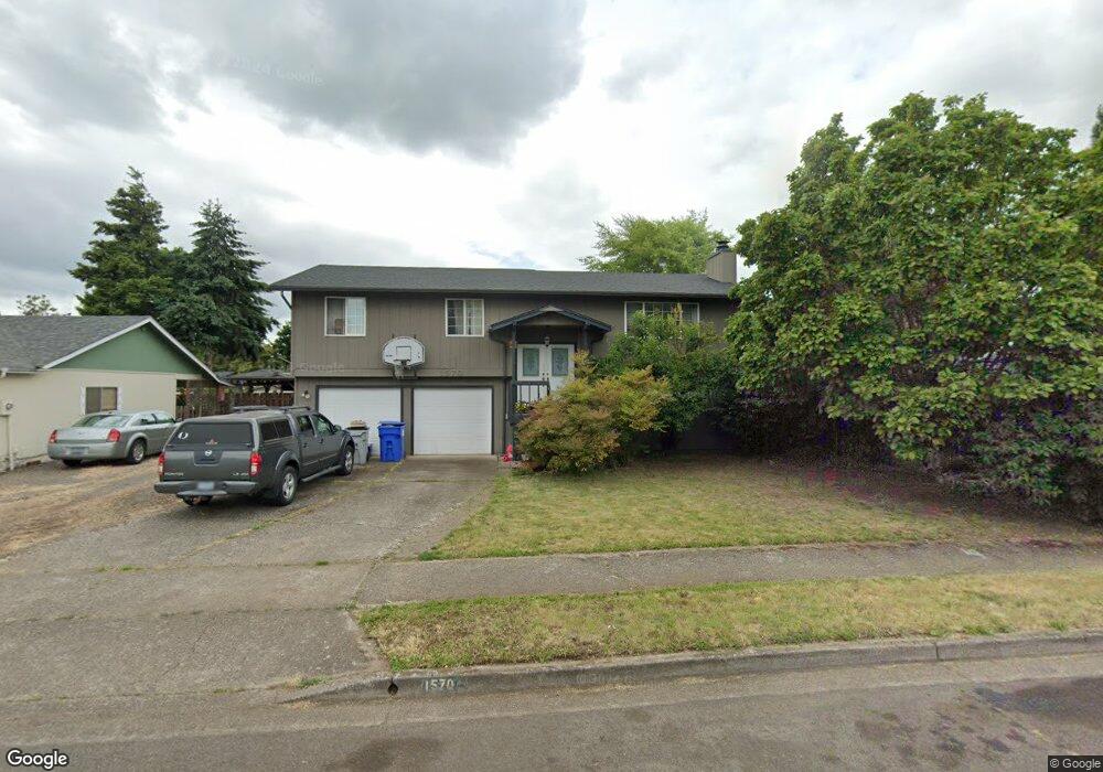
1570 Scandia St Eugene, OR 97402
Bethel NeighborhoodEstimated Value: $428,005 - $448,000
5
Beds
2
Baths
1,833
Sq Ft
$240/Sq Ft
Est. Value
About This Home
This home is located at 1570 Scandia St, Eugene, OR 97402 and is currently estimated at $439,751, approximately $239 per square foot. 1570 Scandia St is a home located in Lane County with nearby schools including Malabon Elementary School, Cascade Middle School, and Willamette High School.
Ownership History
Date
Name
Owned For
Owner Type
Purchase Details
Closed on
Jul 28, 2016
Sold by
Alvord Kelly D and Alvord Cari J
Bought by
Still Kristen N and Roes Jennifer L
Current Estimated Value
Home Financials for this Owner
Home Financials are based on the most recent Mortgage that was taken out on this home.
Original Mortgage
$207,200
Outstanding Balance
$164,747
Interest Rate
3.54%
Mortgage Type
New Conventional
Estimated Equity
$275,004
Purchase Details
Closed on
May 12, 1998
Sold by
Vandehey Kirk D and Vandehey Suzanne C
Bought by
Alvord Kelly D and Alvord Cari J
Home Financials for this Owner
Home Financials are based on the most recent Mortgage that was taken out on this home.
Original Mortgage
$112,800
Interest Rate
7.13%
Create a Home Valuation Report for This Property
The Home Valuation Report is an in-depth analysis detailing your home's value as well as a comparison with similar homes in the area
Home Values in the Area
Average Home Value in this Area
Purchase History
| Date | Buyer | Sale Price | Title Company |
|---|---|---|---|
| Still Kristen N | $259,000 | Western Title & Escrow Co | |
| Alvord Kelly D | $141,000 | Western Pioneer Title Co |
Source: Public Records
Mortgage History
| Date | Status | Borrower | Loan Amount |
|---|---|---|---|
| Open | Still Kristen N | $207,200 | |
| Previous Owner | Alvord Kelly D | $112,800 |
Source: Public Records
Tax History
| Year | Tax Paid | Tax Assessment Tax Assessment Total Assessment is a certain percentage of the fair market value that is determined by local assessors to be the total taxable value of land and additions on the property. | Land | Improvement |
|---|---|---|---|---|
| 2025 | $3,956 | $227,430 | -- | -- |
| 2024 | $3,856 | $220,806 | -- | -- |
| 2023 | $3,856 | $214,375 | $0 | $0 |
| 2022 | $3,590 | $208,132 | $0 | $0 |
| 2021 | $3,514 | $202,070 | $0 | $0 |
| 2020 | $3,411 | $196,185 | $0 | $0 |
| 2019 | $3,244 | $190,471 | $0 | $0 |
| 2018 | $3,153 | $179,538 | $0 | $0 |
| 2017 | $3,013 | $179,538 | $0 | $0 |
| 2016 | $2,937 | $174,309 | $0 | $0 |
| 2015 | $2,879 | $169,232 | $0 | $0 |
| 2014 | $2,835 | $164,303 | $0 | $0 |
Source: Public Records
Map
Nearby Homes
- 4554 Woodsboro St
- 1562 Philip St
- 4280 Avalon St
- 4070 Barger Dr
- 4548 Cambon St
- 1153 Elizabeth St
- 1750 Taney St
- 4800 Barger Dr Unit 60
- 2055 Devos St
- 1400 Candlelight Dr Unit 162
- 1400 Candlelight Dr Unit 208
- 1400 Candlelight Dr
- 1400 Candlelight Dr Unit 226
- 1519 Taney St
- 1385 Taney St
- 3820 Dove Ln
- 1145 Ludgate Dr
- 3970 Marshall Ave
- 1159 Throne Dr
- 3717 Riviera
Your Personal Tour Guide
Ask me questions while you tour the home.