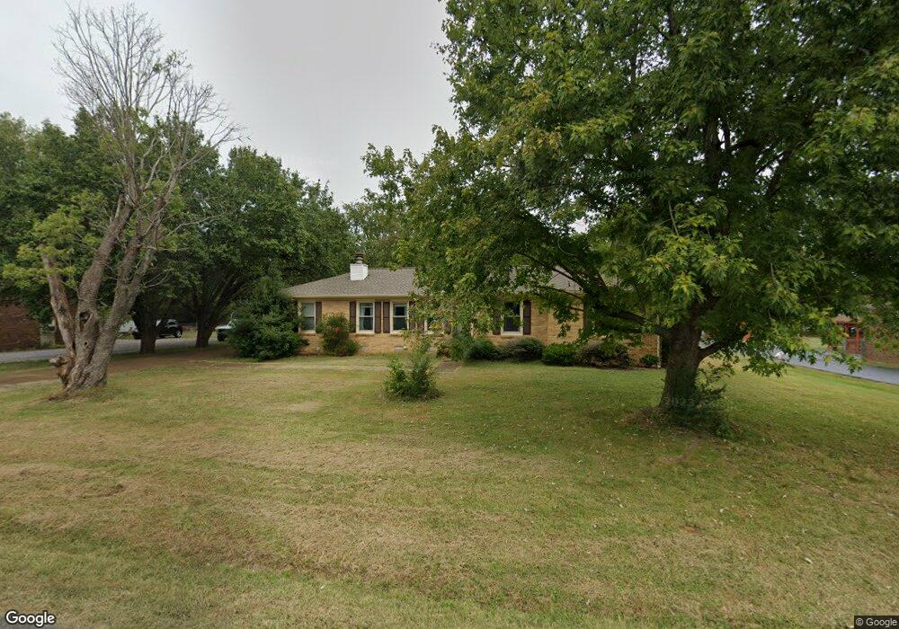
1571 Brian Ct Murfreesboro, TN 37130
Estimated Value: $311,102 - $397,000
--
Bed
2
Baths
1,412
Sq Ft
$250/Sq Ft
Est. Value
About This Home
This home is located at 1571 Brian Ct, Murfreesboro, TN 37130 and is currently estimated at $353,276, approximately $250 per square foot. 1571 Brian Ct is a home located in Rutherford County with nearby schools including Lascassas Elementary School, Oakland Middle School, and Oakland High School.
Ownership History
Date
Name
Owned For
Owner Type
Purchase Details
Closed on
Feb 15, 2024
Sold by
Carroll Susan D
Bought by
Carroll Susan D and Carroll Joseph L
Current Estimated Value
Purchase Details
Closed on
Feb 8, 2024
Sold by
Breedlove Linda J
Bought by
Breedlove Linda J and Carroll Susan D
Purchase Details
Closed on
Jun 5, 1996
Sold by
Wood Ronald H
Bought by
Mcclaran and Howard
Create a Home Valuation Report for This Property
The Home Valuation Report is an in-depth analysis detailing your home's value as well as a comparison with similar homes in the area
Home Values in the Area
Average Home Value in this Area
Purchase History
| Date | Buyer | Sale Price | Title Company |
|---|---|---|---|
| Carroll Susan D | -- | None Listed On Document | |
| Carroll Susan D | -- | None Listed On Document | |
| Breedlove Linda J | -- | None Listed On Document | |
| Breedlove Linda J | -- | None Listed On Document | |
| Mcclaran | $91,000 | -- |
Source: Public Records
Tax History Compared to Growth
Tax History
| Year | Tax Paid | Tax Assessment Tax Assessment Total Assessment is a certain percentage of the fair market value that is determined by local assessors to be the total taxable value of land and additions on the property. | Land | Improvement |
|---|---|---|---|---|
| 2025 | $1,186 | $63,225 | $13,750 | $49,475 |
| 2024 | $1,186 | $63,225 | $13,750 | $49,475 |
| 2023 | $1,193 | $63,600 | $13,750 | $49,850 |
| 2022 | $1,028 | $63,600 | $13,750 | $49,850 |
| 2021 | $911 | $41,050 | $8,750 | $32,300 |
| 2020 | $911 | $41,050 | $8,750 | $32,300 |
| 2019 | $911 | $41,050 | $8,750 | $32,300 |
| 2018 | $862 | $41,050 | $0 | $0 |
| 2017 | $859 | $32,050 | $0 | $0 |
| 2016 | $859 | $32,050 | $0 | $0 |
| 2015 | $859 | $32,050 | $0 | $0 |
| 2014 | $797 | $32,050 | $0 | $0 |
| 2013 | -- | $31,125 | $0 | $0 |
Source: Public Records
Map
Nearby Homes
- 2333 Laurelstone Dr
- 2406 Laurelstone Dr
- 2521 Pebblecreek Ln
- 1553 N Side Dr
- 2336 Laurelstone Dr
- 2328 Laurelstone Dr
- 2326 Laurelstone Dr
- 2428 Sandstone Cir
- 1724 Dayflower Dr
- 2807 Ella Louise Ln
- 2802 Ella Louise Ln
- 3354 Eslin Ct
- 1168 Gardendale Dr
- 3368 Eslin Ct
- 3364 Eslin Ct
- 0 Pitts Ln
- 1817 Splash Place
- 3372 Eslin Ct
- 2914 Kedzie Dr
- Monarch Plan at Arbors at Compton - Reserve Collection
- 1581 Brian Ct
- 1561 Brian Ct
- 2913 Lascassas Pike
- 1591 Brian Ct
- 1572 Brian Ct
- 1582 Brian Ct
- 1562 Brian Ct
- 1592 Brian Ct
- 2921 Lascassas Pike
- 2925 Lascassas Pike
- 2809 Lascassas Pike
- 2923 Lascassas Pike
- 2937 Lascassas Pike
- 2801 Lascassas Pike
- 2871 Emery Rd
- 2920 Lascassas Pike
- 2957 Lascassas Pike
- 2851 Emery Rd
- 2874 Emery Rd
- 2965 Lascassas Pike