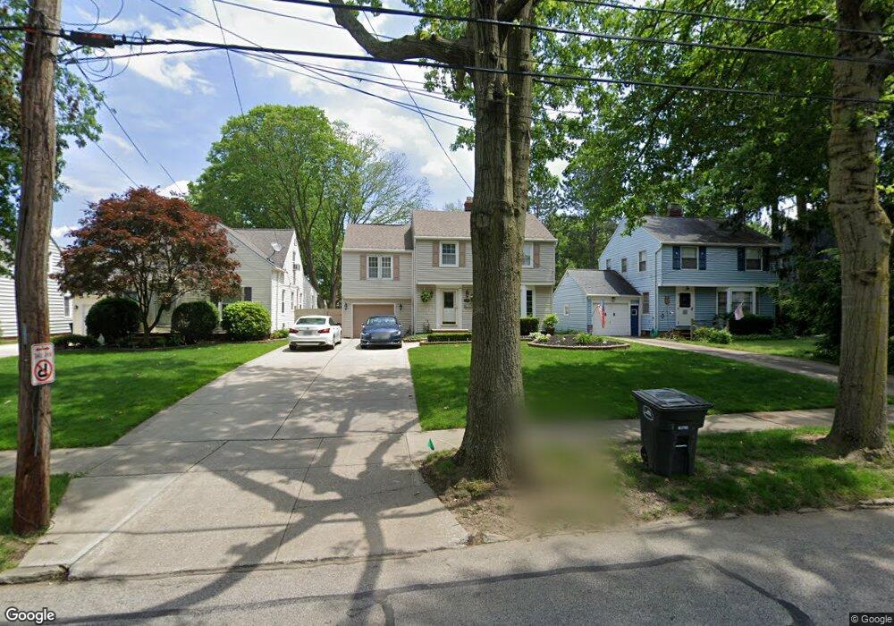
1571 Lyndhurst Rd Cleveland, OH 44124
Estimated Value: $222,000 - $291,000
4
Beds
1
Bath
1,938
Sq Ft
$133/Sq Ft
Est. Value
About This Home
This home is located at 1571 Lyndhurst Rd, Cleveland, OH 44124 and is currently estimated at $257,342, approximately $132 per square foot. 1571 Lyndhurst Rd is a home located in Cuyahoga County with nearby schools including Sunview Elementary School, Greenview Upper Elementary School, and Memorial Junior High School.
Ownership History
Date
Name
Owned For
Owner Type
Purchase Details
Closed on
Aug 15, 2005
Sold by
Malloy Patrick W and Malloy Adele
Bought by
Arendt Michael Y and Arendt Djuana
Current Estimated Value
Home Financials for this Owner
Home Financials are based on the most recent Mortgage that was taken out on this home.
Original Mortgage
$38,000
Interest Rate
5.41%
Mortgage Type
Stand Alone Second
Purchase Details
Closed on
Jan 1, 1975
Bought by
Malloy Patrick W and Malloy Adele A
Create a Home Valuation Report for This Property
The Home Valuation Report is an in-depth analysis detailing your home's value as well as a comparison with similar homes in the area
Home Values in the Area
Average Home Value in this Area
Purchase History
| Date | Buyer | Sale Price | Title Company |
|---|---|---|---|
| Arendt Michael Y | $190,000 | Competetive | |
| Malloy Patrick W | -- | -- |
Source: Public Records
Mortgage History
| Date | Status | Borrower | Loan Amount |
|---|---|---|---|
| Previous Owner | Arendt Michael Y | $38,000 | |
| Previous Owner | Arendt Michael Y | $152,000 |
Source: Public Records
Tax History Compared to Growth
Tax History
| Year | Tax Paid | Tax Assessment Tax Assessment Total Assessment is a certain percentage of the fair market value that is determined by local assessors to be the total taxable value of land and additions on the property. | Land | Improvement |
|---|---|---|---|---|
| 2024 | $4,839 | $69,475 | $12,285 | $57,190 |
| 2023 | $4,665 | $54,050 | $9,840 | $44,210 |
| 2022 | $4,639 | $54,040 | $9,840 | $44,210 |
| 2021 | $4,599 | $54,040 | $9,840 | $44,210 |
| 2020 | $4,308 | $44,280 | $8,050 | $36,230 |
| 2019 | $3,883 | $126,500 | $23,000 | $103,500 |
| 2018 | $3,551 | $44,280 | $8,050 | $36,230 |
| 2017 | $4,004 | $50,970 | $7,530 | $43,440 |
| 2016 | $3,974 | $50,970 | $7,530 | $43,440 |
| 2015 | $4,149 | $50,970 | $7,530 | $43,440 |
| 2014 | $4,149 | $52,020 | $7,670 | $44,350 |
Source: Public Records
Map
Nearby Homes
- 1652 Temple Ave
- 5688 Shawnee Dr
- 5419 Huron Rd
- 1399 Haverston Rd
- 1574 Hawthorne Dr
- 1763 Temple Ave
- 1391 Iroquois Ave
- 1443 Churchill Rd
- 1722 Hawthorne Dr
- 1403 Churchill Rd
- 1857 Brainard Rd
- 1430 Belrose Rd
- 1839 Caronia Dr
- 1284 Haverston Rd
- 5931 Mayberry Ave
- 1842 Aldersgate Dr
- 1368 Irene Rd
- 1685 Mayfair Blvd
- 1737 Mayfair Blvd
- 5831 Alberta Dr
- 1563 Lyndhurst Rd
- 1575 Lyndhurst Rd
- 1559 Lyndhurst Rd
- 1579 Lyndhurst Rd
- 1555 Lyndhurst Rd
- 1581 Lyndhurst Rd
- 1572 Brainard Rd
- 1564 Brainard Rd
- 1576 Brainard Rd
- 1585 Lyndhurst Rd
- 1560 Brainard Rd
- 1580 Brainard Rd
- 1551 Lyndhurst Rd
- 1572 Lyndhurst Rd
- 1564 Lyndhurst Rd
- 1576 Lyndhurst Rd
- 1556 Brainard Rd
- 1584 Brainard Rd
- 1580 Lyndhurst Rd
- 1560 Lyndhurst Rd