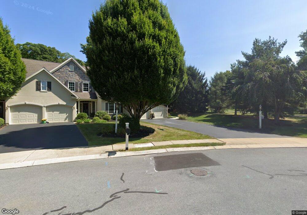
1571 Stony Battery Rd Lancaster, PA 17601
Oyster Point NeighborhoodEstimated Value: $413,000 - $466,000
4
Beds
2
Baths
1,756
Sq Ft
$249/Sq Ft
Est. Value
About This Home
This home is located at 1571 Stony Battery Rd, Lancaster, PA 17601 and is currently estimated at $437,570, approximately $249 per square foot. 1571 Stony Battery Rd is a home located in Lancaster County with nearby schools including Landisville Primary Center, Landisville Middle School, and Hempfield Senior High School.
Ownership History
Date
Name
Owned For
Owner Type
Purchase Details
Closed on
Aug 5, 2025
Sold by
Darrenkamp Sean P
Bought by
Darrenkamp Sean P
Current Estimated Value
Purchase Details
Closed on
Sep 29, 2017
Sold by
Darrenkamp Margie P
Bought by
Darrenkamp Margie P and Darrenkamp Sean P
Create a Home Valuation Report for This Property
The Home Valuation Report is an in-depth analysis detailing your home's value as well as a comparison with similar homes in the area
Home Values in the Area
Average Home Value in this Area
Purchase History
| Date | Buyer | Sale Price | Title Company |
|---|---|---|---|
| Darrenkamp Sean P | -- | None Listed On Document | |
| Darrenkamp Margie P | -- | None Available |
Source: Public Records
Tax History Compared to Growth
Tax History
| Year | Tax Paid | Tax Assessment Tax Assessment Total Assessment is a certain percentage of the fair market value that is determined by local assessors to be the total taxable value of land and additions on the property. | Land | Improvement |
|---|---|---|---|---|
| 2025 | $5,444 | $251,900 | $105,000 | $146,900 |
| 2024 | $5,444 | $251,900 | $105,000 | $146,900 |
| 2023 | $5,335 | $251,900 | $105,000 | $146,900 |
| 2022 | $5,188 | $251,900 | $105,000 | $146,900 |
| 2021 | $5,106 | $251,900 | $105,000 | $146,900 |
| 2020 | $5,106 | $251,900 | $105,000 | $146,900 |
| 2019 | $5,019 | $251,900 | $105,000 | $146,900 |
| 2018 | $988 | $251,900 | $105,000 | $146,900 |
| 2016 | $4,396 | $174,600 | $84,500 | $90,100 |
| 2015 | $883 | $174,600 | $84,500 | $90,100 |
| 2014 | $3,273 | $174,600 | $84,500 | $90,100 |
Source: Public Records
Map
Nearby Homes
- 849 Aylesbury Dr
- Kipling Plan at Enclave at Independence Ridge
- Woodford Plan at Enclave at Independence Ridge
- Magnolia Plan at Enclave at Independence Ridge
- Sebastian Plan at Enclave at Independence Ridge
- Savannah Plan at Enclave at Independence Ridge
- Parker Plan at Enclave at Independence Ridge
- Nottingham Plan at Enclave at Independence Ridge
- Devonshire Plan at Enclave at Independence Ridge
- Arcadia Plan at Enclave at Independence Ridge
- Augusta Plan at Enclave at Independence Ridge
- Addison Plan at Enclave at Independence Ridge
- Lachlan Plan at Enclave at Independence Ridge
- Ethan Plan at Enclave at Independence Ridge
- Covington Plan at Enclave at Independence Ridge
- Hawthorne Plan at Enclave at Independence Ridge
- 660 Lawrence Blvd Unit DEVONSHIRE
- 660 Lawrence Blvd Unit MAGNOLIA
- 660 Lawrence Blvd Unit ADDISON
- 660 Lawrence Blvd Unit LACHLAN
- 829 Huntington Place Unit 28
- 831 Huntington Place Unit 27
- 721 Ryan Ln
- 833 Huntington Place Unit 26
- 770 Billy Dr
- 1575 Stony Battery Rd
- 835 Huntington Place Unit 25
- 825 Huntington Place
- 1557 Stony Battery Rd
- 1551 Stony Battery Rd
- 851 Huntington Place
- 849 Huntington Place
- 847 Huntington Place
- 824 Huntington Place
- 822 Huntington Place
- 1561 Stony Battery Rd
- 820 Huntington Place
- 1565 Stony Battery Rd
- 1579 Stony Battery Rd
- 818 Huntington Place