15766 Davis Ave La Pine, OR 97739
Estimated Value: $277,000 - $304,000
2
Beds
1
Bath
998
Sq Ft
$294/Sq Ft
Est. Value
About This Home
This home is located at 15766 Davis Ave, La Pine, OR 97739 and is currently estimated at $293,036, approximately $293 per square foot. 15766 Davis Ave is a home located in Deschutes County with nearby schools including La Pine Elementary School, La Pine Middle School, and La Pine Senior High School.
Ownership History
Date
Name
Owned For
Owner Type
Purchase Details
Closed on
Oct 11, 2013
Sold by
Pflueger Allan L and Pflueger Lori L
Bought by
Leachman Troy and Leachman Stacy
Current Estimated Value
Purchase Details
Closed on
Apr 25, 2011
Sold by
Fannie Mae
Bought by
Pflueger Allan L and Pflueger Lori L
Purchase Details
Closed on
Oct 18, 2010
Sold by
West Travis C and West Amanda J
Bought by
Federal National Mortgage Association
Purchase Details
Closed on
Jan 5, 2007
Sold by
Krasnoff Patrick D and Krasnoff Lois J
Bought by
West Travis C and West Amanda J
Home Financials for this Owner
Home Financials are based on the most recent Mortgage that was taken out on this home.
Original Mortgage
$165,850
Interest Rate
6.12%
Mortgage Type
Unknown
Create a Home Valuation Report for This Property
The Home Valuation Report is an in-depth analysis detailing your home's value as well as a comparison with similar homes in the area
Home Values in the Area
Average Home Value in this Area
Purchase History
| Date | Buyer | Sale Price | Title Company |
|---|---|---|---|
| Leachman Troy | $38,500 | None Available | |
| Pflueger Allan L | $38,500 | Amerititle | |
| Federal National Mortgage Association | $178,317 | Accommodation | |
| West Travis C | $165,850 | Deschutes County Title Co |
Source: Public Records
Mortgage History
| Date | Status | Borrower | Loan Amount |
|---|---|---|---|
| Previous Owner | West Travis C | $165,850 |
Source: Public Records
Tax History
| Year | Tax Paid | Tax Assessment Tax Assessment Total Assessment is a certain percentage of the fair market value that is determined by local assessors to be the total taxable value of land and additions on the property. | Land | Improvement |
|---|---|---|---|---|
| 2025 | $1,839 | $109,910 | -- | -- |
| 2024 | $1,764 | $106,710 | -- | -- |
| 2023 | $1,726 | $103,610 | $0 | $0 |
| 2022 | $1,536 | $97,670 | $0 | $0 |
| 2021 | $1,546 | $94,830 | $0 | $0 |
| 2020 | $1,467 | $94,830 | $0 | $0 |
| 2019 | $1,427 | $92,070 | $0 | $0 |
| 2018 | $1,387 | $89,390 | $0 | $0 |
| 2017 | $1,352 | $86,790 | $0 | $0 |
| 2016 | $1,290 | $84,270 | $0 | $0 |
| 2015 | $1,256 | $81,820 | $0 | $0 |
| 2014 | $1,207 | $79,440 | $0 | $0 |
Source: Public Records
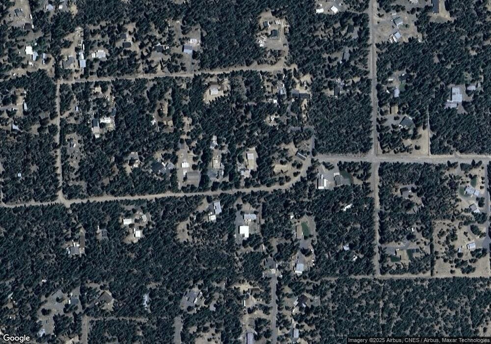
Map
Nearby Homes
- 15734 Paulina Ave
- 52128 Stearns Rd
- 15680 Paulina Ave
- 51924 Mowich Ln
- 51974 Wickiup Ave
- 52205 Lechner Ln
- 52225 Lechner Ln
- 0 Parkway Dr Unit Lot 3
- 51590 Dorrance Meadow Rd
- 52266 Dustan Rd
- 52315 Lechner Ln
- 15945 Leslie Dr
- 52315 Stearns Rd
- 15576 Federal Rd
- 15942 Leslie Dr
- 52302 Whispering Pines Rd
- 52244 Union Rd
- 52195 Elderberry Ln
- 52351 Dustan Rd
- 15461 Federal Rd
- 15760 Davis Ave
- 15781 Greenwood Dr
- 15780 Davis Ave
- 15757 Davis Ave
- 15744 Davis Ave
- 15770 Greenwood Dr
- 15769 Davis Ave
- 15787 Greenwood Dr
- 0 Greenwood Dr
- 15805 Davis Ave
- 15730 Davis
- 0 Davis Ave
- 15725 Greenwood Dr
- 52000 Kiwa Ln
- 52081 Stearns Rd
- 3901 Greenwood Dr
- 21 Greenwood Dr
- 20 Greenwood Dr
- 19 Greenwood Dr
Your Personal Tour Guide
Ask me questions while you tour the home.