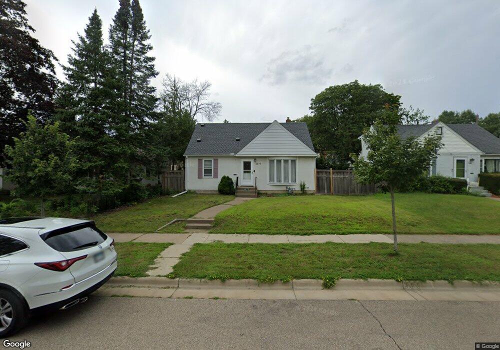
1577 1577 Atlantic-Street- St. Paul, MN 55106
Payne-Phalen NeighborhoodEstimated Value: $270,000 - $302,000
3
Beds
2
Baths
438
Sq Ft
$660/Sq Ft
Est. Value
About This Home
This home is located at 1577 1577 Atlantic-Street-, St. Paul, MN 55106 and is currently estimated at $289,216, approximately $660 per square foot. 1577 1577 Atlantic-Street- is a home located in Ramsey County with nearby schools including Frost Lake Elementary School, Txuj Ci HMong Language and Culture Upper Campus, and Johnson Senior High School.
Ownership History
Date
Name
Owned For
Owner Type
Purchase Details
Closed on
Aug 23, 2013
Sold by
Vernon Matthew and Vernon Amanda
Bought by
Vang Yer
Current Estimated Value
Home Financials for this Owner
Home Financials are based on the most recent Mortgage that was taken out on this home.
Original Mortgage
$142,373
Outstanding Balance
$105,454
Interest Rate
4.29%
Mortgage Type
FHA
Estimated Equity
$183,762
Purchase Details
Closed on
Jan 26, 2001
Sold by
Nierenhausen Lloyd L and Nierenhausen Julie
Bought by
Leaf Sean B and Leaf Tonya H
Create a Home Valuation Report for This Property
The Home Valuation Report is an in-depth analysis detailing your home's value as well as a comparison with similar homes in the area
Home Values in the Area
Average Home Value in this Area
Purchase History
| Date | Buyer | Sale Price | Title Company |
|---|---|---|---|
| Vang Yer | $149,393 | Executive Title Services Inc | |
| Leaf Sean B | $144,800 | -- |
Source: Public Records
Mortgage History
| Date | Status | Borrower | Loan Amount |
|---|---|---|---|
| Open | Vang Yer | $142,373 |
Source: Public Records
Tax History Compared to Growth
Tax History
| Year | Tax Paid | Tax Assessment Tax Assessment Total Assessment is a certain percentage of the fair market value that is determined by local assessors to be the total taxable value of land and additions on the property. | Land | Improvement |
|---|---|---|---|---|
| 2025 | $4,224 | $283,500 | $40,000 | $243,500 |
| 2024 | $4,224 | $267,500 | $40,000 | $227,500 |
| 2023 | $4,224 | $251,600 | $35,000 | $216,600 |
| 2022 | $4,186 | $275,800 | $35,000 | $240,800 |
| 2021 | $3,668 | $240,100 | $35,000 | $205,100 |
| 2020 | $3,726 | $216,200 | $19,600 | $196,600 |
| 2019 | $3,366 | $206,000 | $19,600 | $186,400 |
| 2018 | $3,112 | $182,900 | $19,600 | $163,300 |
| 2017 | $2,218 | $171,100 | $19,600 | $151,500 |
| 2016 | $2,222 | $0 | $0 | $0 |
| 2015 | $2,134 | $151,700 | $19,600 | $132,100 |
| 2014 | $1,792 | $0 | $0 | $0 |
Source: Public Records
Map
Nearby Homes
- 1567 Atlantic St
- 1562 Chamber St
- 1714 Duluth St
- 1639 Clarence St
- 1730 Atlantic St
- 1740 English St
- 1751 Clarence St
- 1377 Clarence St
- 1672 Manton St
- 1435 Price Ave
- 1450 Arlington Ave E
- 1357 Birmingham St
- 1844 E Shore Dr
- 1532 Larpenteur Ave E
- 1870 Clarence St
- 1869 Birmingham St
- 1583 Nevada Ave E
- 1875 E Shore Dr Unit 302
- 1229 Clarence St
- 1201 Frost Ave
- 1577 Atlantic St
- 1581 Atlantic St
- 1573 Atlantic St
- 1585 Atlantic St
- 1576 Duluth St
- 1572 Duluth St
- 1580 Duluth St
- 1589 Atlantic St
- 1561 Atlantic St
- 1561 1561 Atlantic-Street-
- 1589 1589 Atlantic-Street-
- 1568 Duluth St
- 1584 Duluth St
- 1578 Atlantic St
- 1574 Atlantic St
- 1582 Atlantic St
- 1568 1568 Duluth-Street-
- 1595 Atlantic St
- 1564 Duluth St
- 1568 Atlantic St