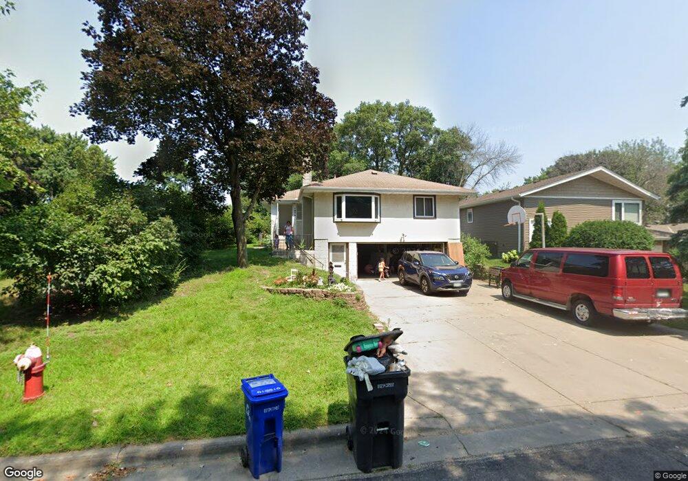
1579 Leone Ave Saint Paul, MN 55106
Battle Creek NeighborhoodEstimated Value: $321,771 - $339,000
3
Beds
3
Baths
1,544
Sq Ft
$214/Sq Ft
Est. Value
About This Home
This home is located at 1579 Leone Ave, Saint Paul, MN 55106 and is currently estimated at $330,443, approximately $214 per square foot. 1579 Leone Ave is a home located in Ramsey County with nearby schools including Highwood Hills Elementary School, Battle Creek Middle School, and Harding Senior High School.
Ownership History
Date
Name
Owned For
Owner Type
Purchase Details
Closed on
Aug 31, 2022
Sold by
Jsw Properties Llc
Bought by
Gatica Pablo Salazar and Gatica Epifanio Leydi
Current Estimated Value
Purchase Details
Closed on
May 21, 2021
Sold by
Pettis Deborah Marie
Bought by
Jsw Properties Llc
Home Financials for this Owner
Home Financials are based on the most recent Mortgage that was taken out on this home.
Original Mortgage
$221,600
Outstanding Balance
$167,455
Interest Rate
3%
Mortgage Type
Commercial
Estimated Equity
$162,988
Purchase Details
Closed on
May 17, 2021
Sold by
Pettis John Henry
Bought by
Pettis Deborah Marie
Home Financials for this Owner
Home Financials are based on the most recent Mortgage that was taken out on this home.
Original Mortgage
$221,600
Outstanding Balance
$167,455
Interest Rate
3%
Mortgage Type
Commercial
Estimated Equity
$162,988
Create a Home Valuation Report for This Property
The Home Valuation Report is an in-depth analysis detailing your home's value as well as a comparison with similar homes in the area
Home Values in the Area
Average Home Value in this Area
Purchase History
| Date | Buyer | Sale Price | Title Company |
|---|---|---|---|
| Gatica Pablo Salazar | $330,000 | -- | |
| Jsw Properties Llc | $277,000 | Titlesmart Inc | |
| Jsw Properties Llc | $277,000 | Titlesmart Inc | |
| Pettis Deborah Marie | -- | None Listed On Document | |
| Laureano Monica Monica | $304,700 | -- |
Source: Public Records
Mortgage History
| Date | Status | Borrower | Loan Amount |
|---|---|---|---|
| Open | Jsw Properties Llc | $221,600 |
Source: Public Records
Tax History Compared to Growth
Tax History
| Year | Tax Paid | Tax Assessment Tax Assessment Total Assessment is a certain percentage of the fair market value that is determined by local assessors to be the total taxable value of land and additions on the property. | Land | Improvement |
|---|---|---|---|---|
| 2025 | $5,178 | $324,000 | $34,300 | $289,700 |
| 2023 | $5,178 | $295,400 | $34,300 | $261,100 |
| 2022 | $4,040 | $302,500 | $34,300 | $268,200 |
| 2021 | $3,696 | $256,600 | $34,300 | $222,300 |
| 2020 | $3,522 | $238,800 | $34,300 | $204,500 |
| 2019 | $3,400 | $214,100 | $34,300 | $179,800 |
| 2018 | $3,052 | $203,900 | $34,300 | $169,600 |
| 2017 | $2,898 | $189,400 | $30,200 | $159,200 |
| 2016 | $2,560 | $0 | $0 | $0 |
| 2015 | $2,566 | $160,700 | $30,200 | $130,500 |
| 2014 | $2,694 | $0 | $0 | $0 |
Source: Public Records
Map
Nearby Homes
- 237 Sigurd St
- 267 Hazelwood St
- 201 Dora Ct W
- 1747 Louise Ave
- 1600 Old Hudson Rd
- 1538 Wilson Ave
- 125 Battle Creek Place
- 136 White Bear Ave N
- 49 Battle Creek Place
- 244 Point Douglas Rd N
- 1333 Pacific St
- 1821 Wilson Ave
- 271 English St
- 1935 Warbler Ln
- 500 Etna St Unit 104
- 1685 Fremont Ave
- 1320 Wilson Ave
- 1450 Fremont Ave
- 1257 Wilson Ave
- 1989 N Park Dr
- 1583 Leone Ave
- 1561 Leone Ave
- 1589 Leone Ave
- 1555 1555 Leone Ave
- 1555 Leone Ave
- 1610 Burns Ave
- 1580 Leone Ave
- 1574 Leone Ave
- 1608 Burns Ave
- 1614 Burns Ave
- 1584 Leone Ave
- 1568 Leone Ave
- 1601 Leone Ave
- 1604 Burns Ave
- 1551 Leone Ave
- 1618 Burns Ave
- 1601 1601 Leone Ave
- 240 240 Sigurd-Street-
- 240 Sigurd St
- 1586 Burns Ave